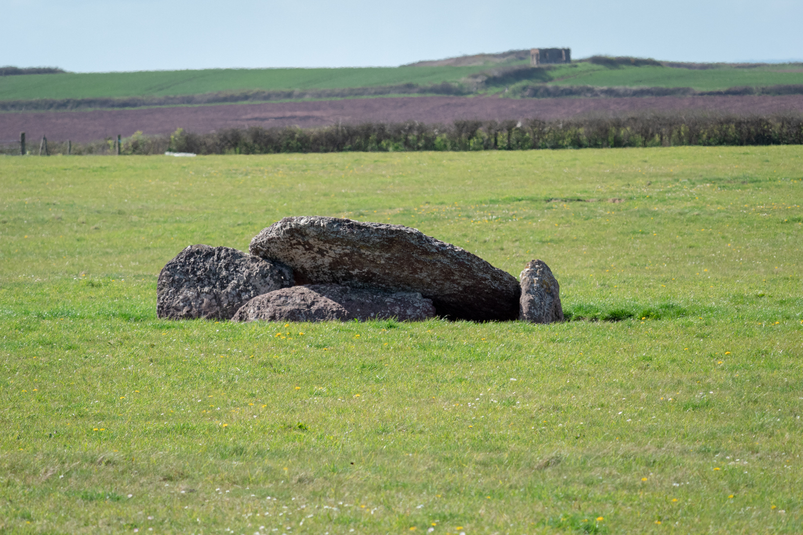
Devil's Quoit
An ancient Neolithic burial chamber in the centre of a field, near the coast in Pembrokeshire, Wales.
Formed by a large wedge-shaped capstone which is supported on the east by two large side stones
and the west by a third side stone which now lies on the ground.
.
Visit Date April 2022
In Wales, there are many of these types of burial sites and as in the rest of the UK, they can be referred to as Quoits, Dolmens or Chromlechs. In addition, the name "Devil's Quoit" is also commonly used for other sites and standing stones in the area.
The structures typically have three or more upright standing stones with a large capstone on top. Originally they would have been covered with earth.
In its current form, there is no mound to be seen but it was noted when investigated in 1810 that there was a large circular "Agger" or earthwork around the monument.
The pieces of the monument are of a reddish-brown conglomerate; the capstone measures 2.75m in length and is 2m wide. The uprights would be around 1.5 metres high.
There is little recorded about this site and the chamber is in the centre of a field on private land and is inaccessible due to the area being sealed off by an electrical fence. Despite this, The monument is of national importance and is a substantial relic of a prehistoric funerary and ritual landscape that may retain significant archaeological potential, with a strong probability of the presence of both intact burial or ritual remains, and environmental and structural evidence, including a buried prehistoric land surface.
The mount is on a peninsular of land with the sea to either side.
Visit Information: -
Google Reference: -
51.66650404534974, -5.05761344477118
What Three Words reference: -
///windpipe.pays.premiums
OS Details: -
SM 88652 00842 Altitude: 204 ft
Additional information.
This is an important historical site, however, as it is in a field and on private land, surrounded by an electrical fence therefore a close visit is not possible however, the site can be seen from the road and a small pull-in by the field gate is possible.


0 comments:
Post a Comment