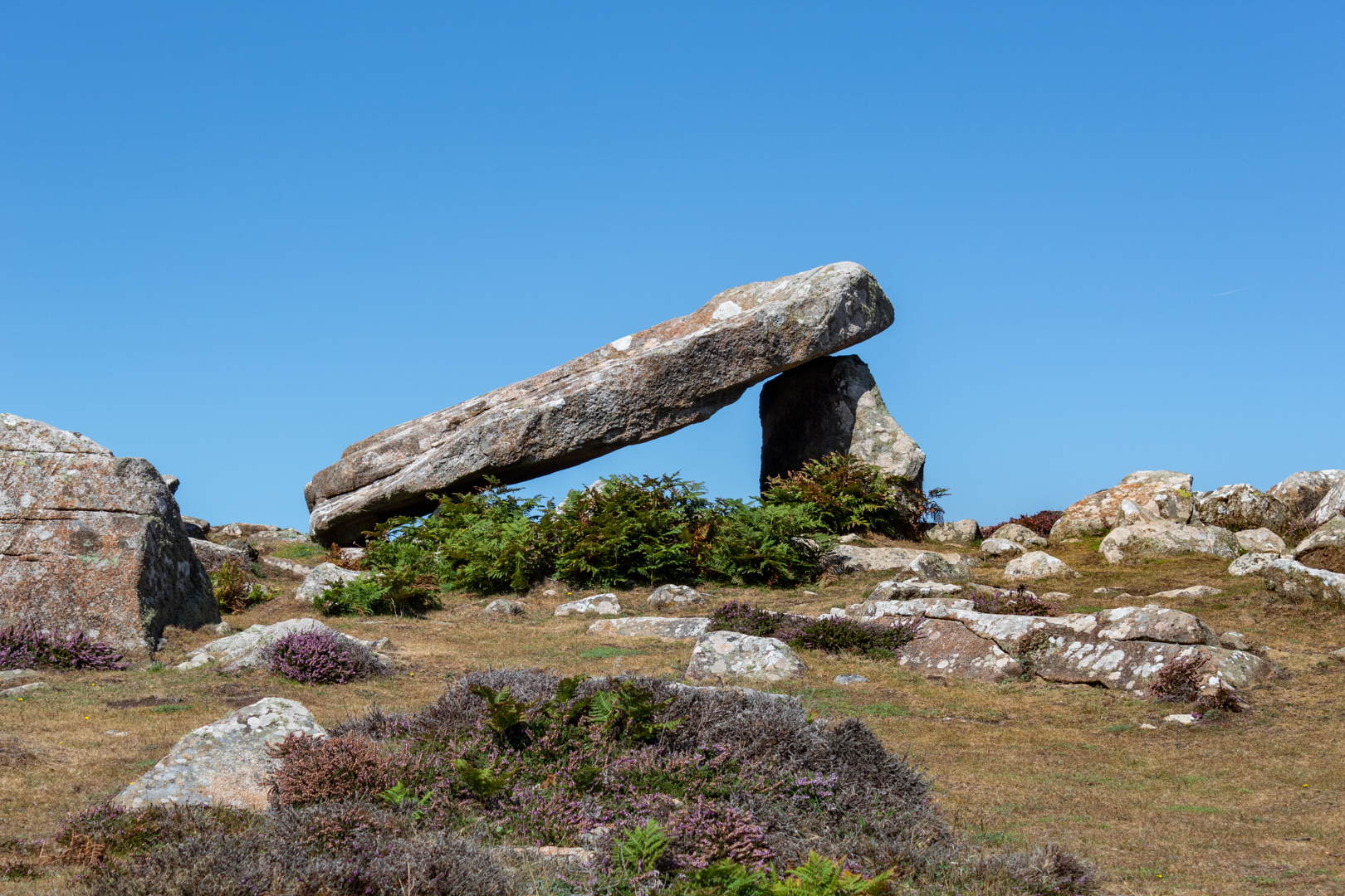
Like many prehistoric monuments in western England and Wales,
this monument has been linked to King Arthur.
According to the 13th-century legend, it was here that Arthur slew a giant,
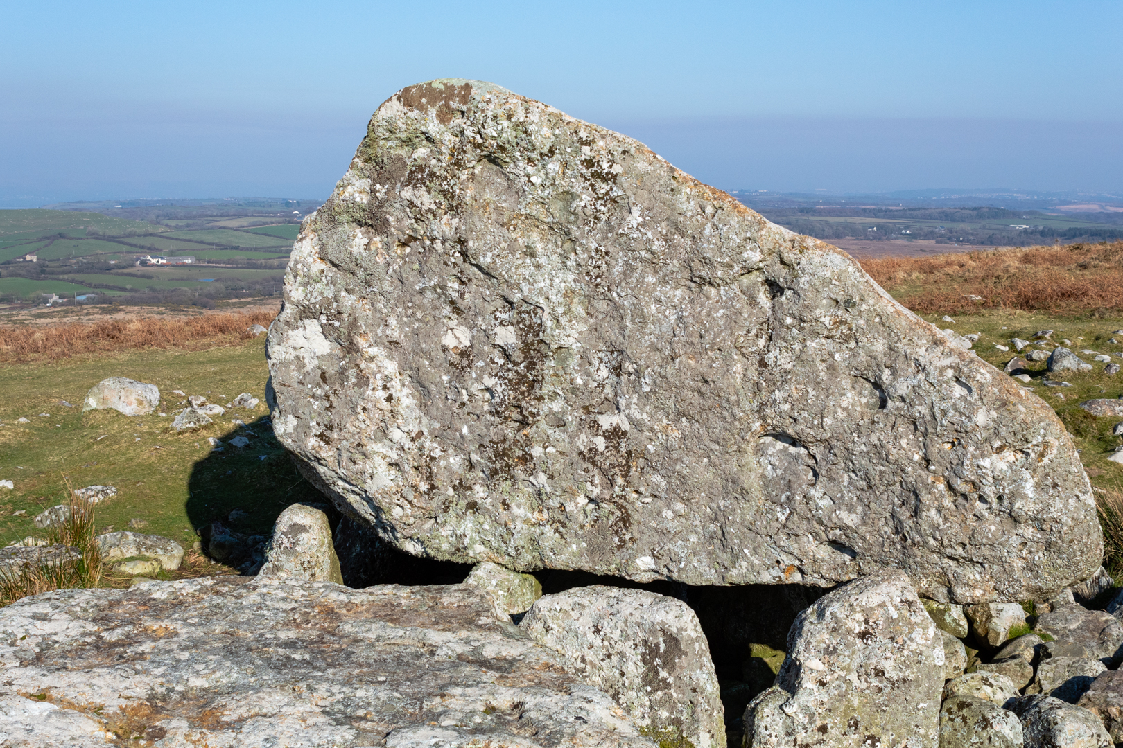
who left the impression of his elbows on one of the stones as he fell.
Others suggest the indentations were left by Arthur's
knees or elbows as he knelt there to pray.
Visit Date January 2025
 |
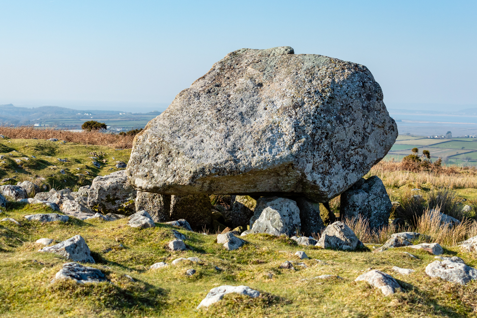
| Arthur's Stone |
The tomb dated around 3500 BC is much like many others of this type of structure often referred to as Chromlechs, Quoits or Dolmens and is made up of a large capstone perhaps weighing around 25 tons supported not by the more common 3 or 4 uprights but 9 uprights.
 |
| Click on any image for larger view |
The entrance to the tomb is through a curved, 4.6 m (15 ft) long entrance passageway.
 |
| Arthur's Stone |
This is not uncommon but seems to deviate from many of these types of tombs which would have a straight entrance-way.
 |
| Click on any image for larger view |
The site would have been covered with a great mound of earth which has either been eroded over the centuries or exposed much earlier. Modern investigations had not been carried out on this structure until 2022/2023, when investigations led by the Universities of Manchester and Cardiff were carried out.
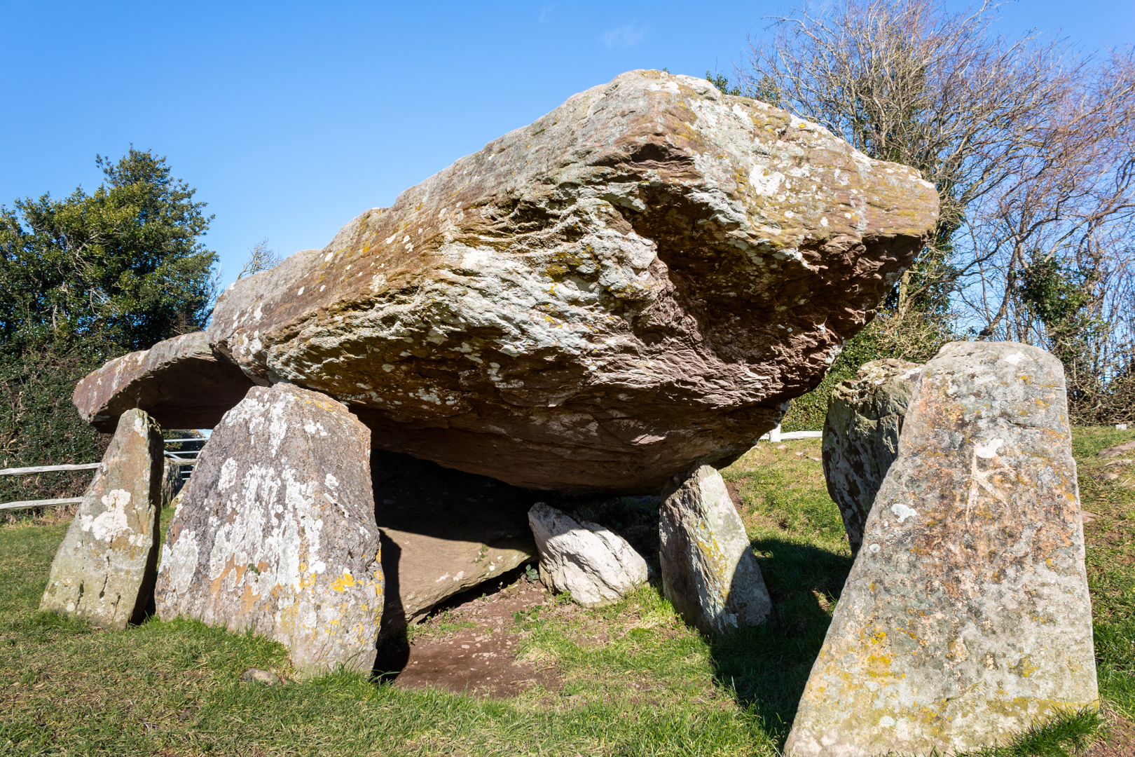 |
| Arthur's Stone |
It was found that it is likely the tomb has been altered since the original single burial chamber Dolmen. The original entrance would have been north-facing however it is now thought that the structure was later converted into a long cairn and the entrance to this new structure faced south.
More work may be done to confirm this.
 |
| Arthur's Stone possible original entrance |
During these excavations near the long entrance, there was found evidence of a dry stone wall structure. This had been carefully constructed and was thought to have had some symbolic meaning, perhaps the stones were brought as some sort of memorial to the dead.
The curved passageway seems to be part of this later addition.
As stated earlier this Neolithic monument known as Arthur’s Stone, has long been linked to legend and literature however, if King Arthur had been at every location he is associated with he would have to have lived many lives.
Two other Arthurian structures on this blog can be found at
and
 |
| Click on any image for larger view |
These Arthurian giant-slaying escapades and the inspiring large Stone capstone or table here at this site is said to have been the inspiration on which the lion Aslan was sacrificed in C S Lewis’ The Chronicles of Narnia.
The site is now in the care of English Heritage
Footer:Visit Information: -
Google Reference: -
52.08230962757643, -2.9953445186919994
What Three Words reference: -
///bolsters.craters.timer
OS Details: -
OS Grid Ref: SO 31887 43123
Additional information.
Visiting is easy and is about 11 miles from Hereford along the A438 and B4352 (Pentre lane ) and then 3/4 of a mile along Arther's Stone Lane (this is the only narrow part.
There is parking for 3/4 cars in a lay-by right next to the site. There are no facilities.
I have been told that this site can get busy in the summer months.
A full list of blogs can be found at my website

