With a renewed enthusiasm for photography and local history, I set out this blog as a record of my experiences with images and narratives. It is my hope that you find something of interest on this site. Please feel free to contact me for more information on any of the posts. You can see a comprehensive list of my blogs at my website :- http://www.davidnurse.co.uk

East Orchard Castle.

 Visit Date 05-2022.


St. Athen in South Wales in recent times has been known for the RAF base here where the RAF’s non-aircraft, ground engineering technicians were and still are trained.

The Station officially opened as RAF St. Athan on 1 September 1938.

More recently, St. Athen has become base for the manufacture of the high-class Aston Martin SUV. Conversion of the three super hangars have been redeveloped into a state-of-the-art manufacturing facility.

My interest here, however, goes back many hundreds of years before this.


East Orchard Castle


We go back to the 11th Century for this story.

Two Orchards were laid here. Both the orchards were built by the Berkerolles who received the land from Robert Fitzhammon after the conquest of Glamorgan in 1091.


East Orchard Castle


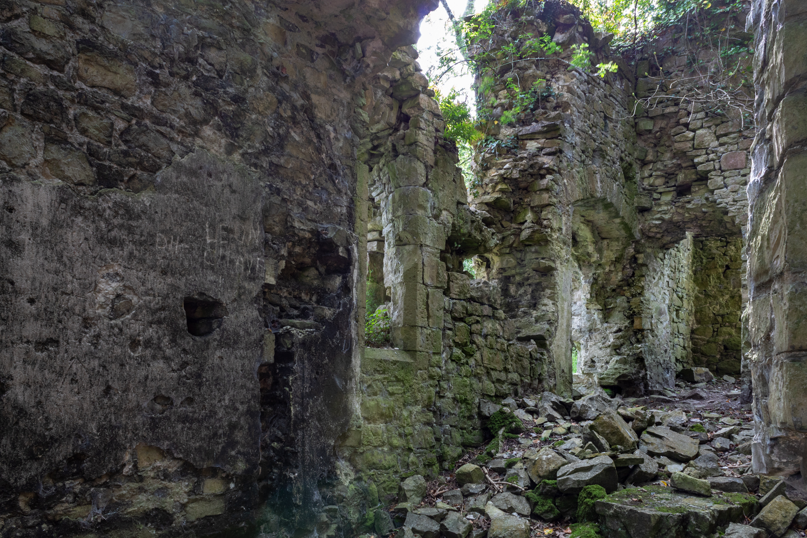
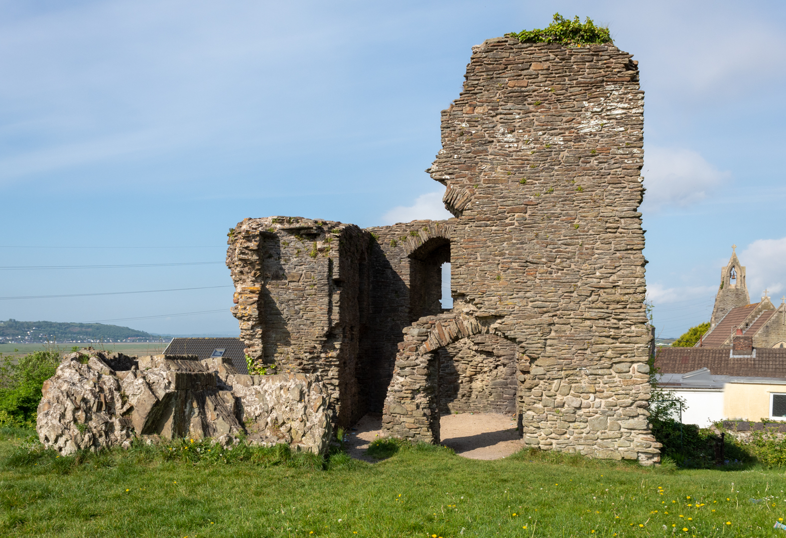
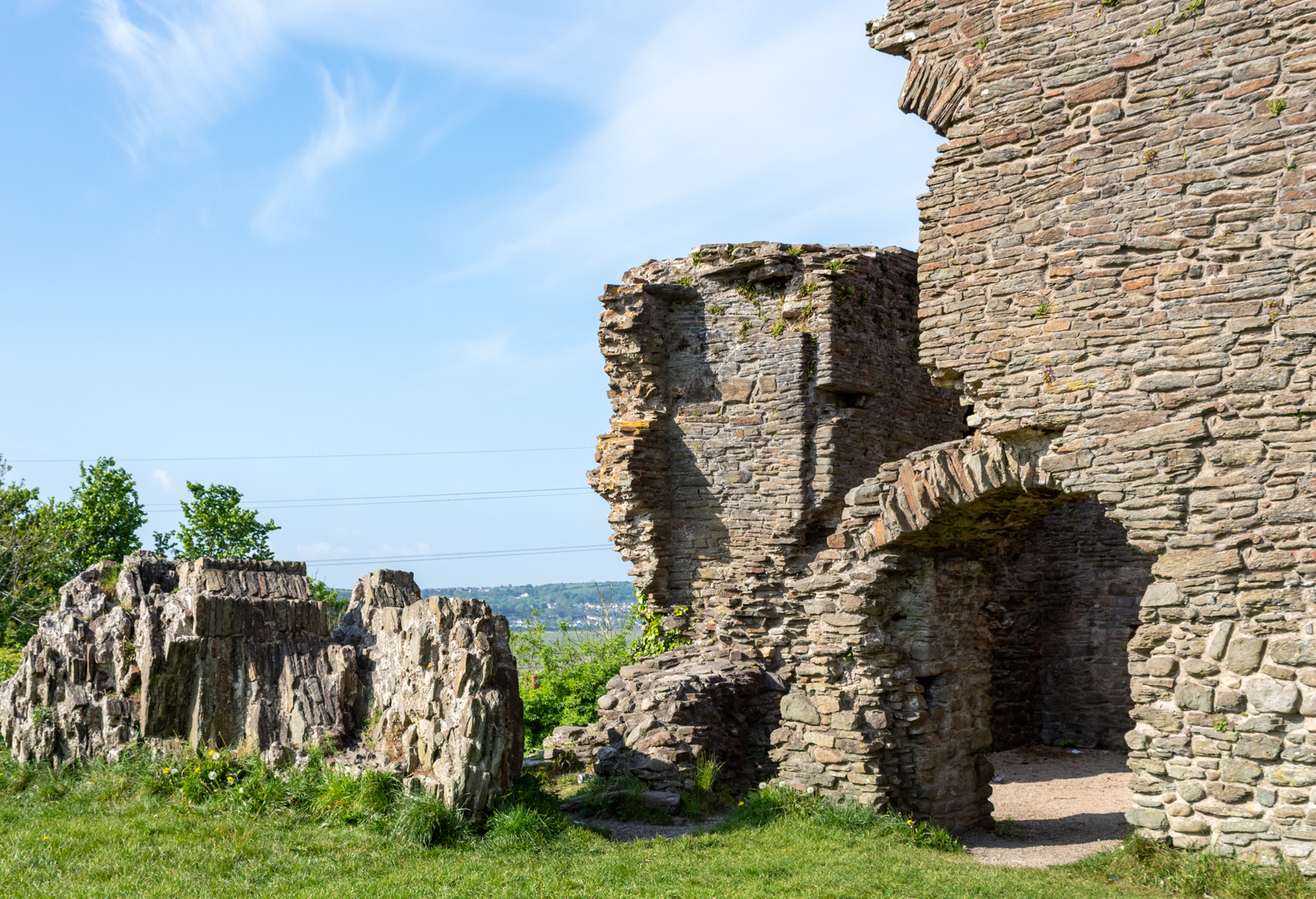
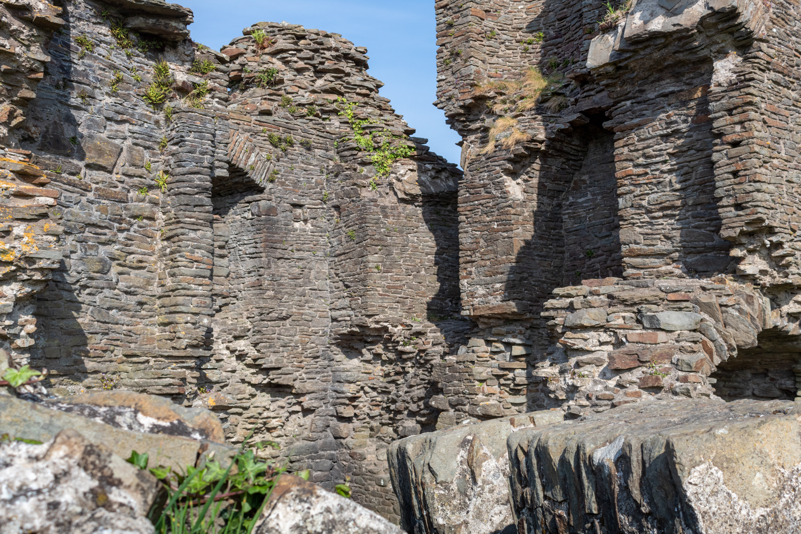
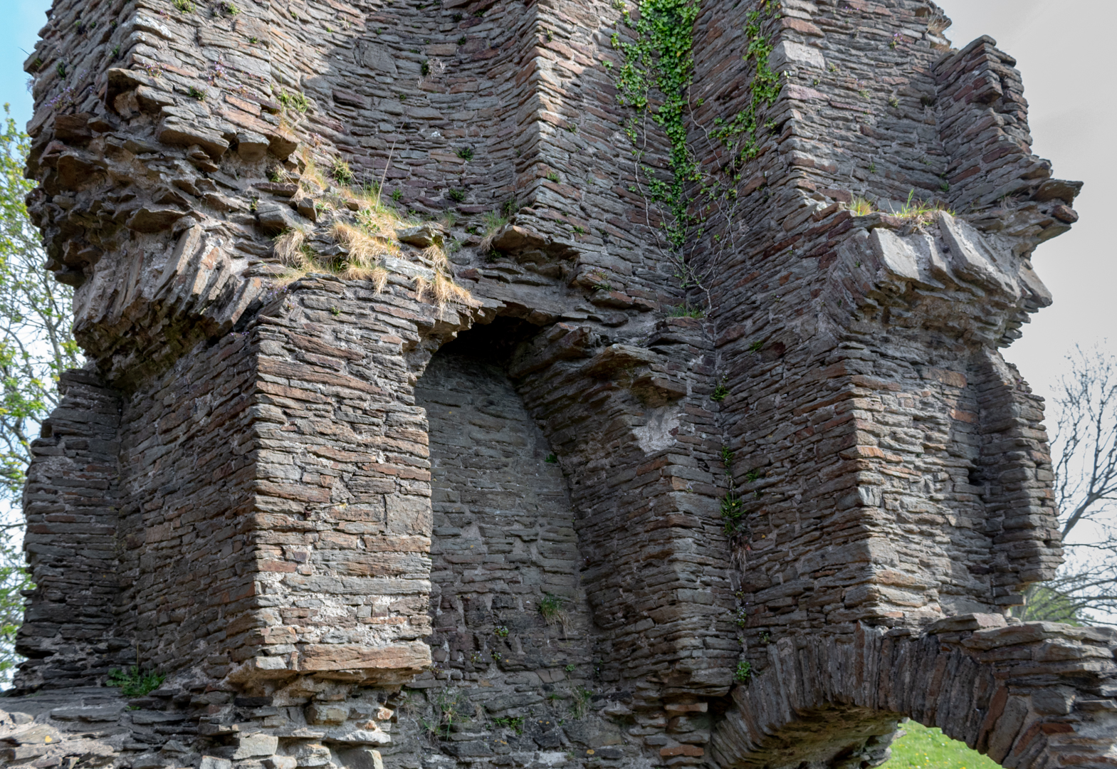
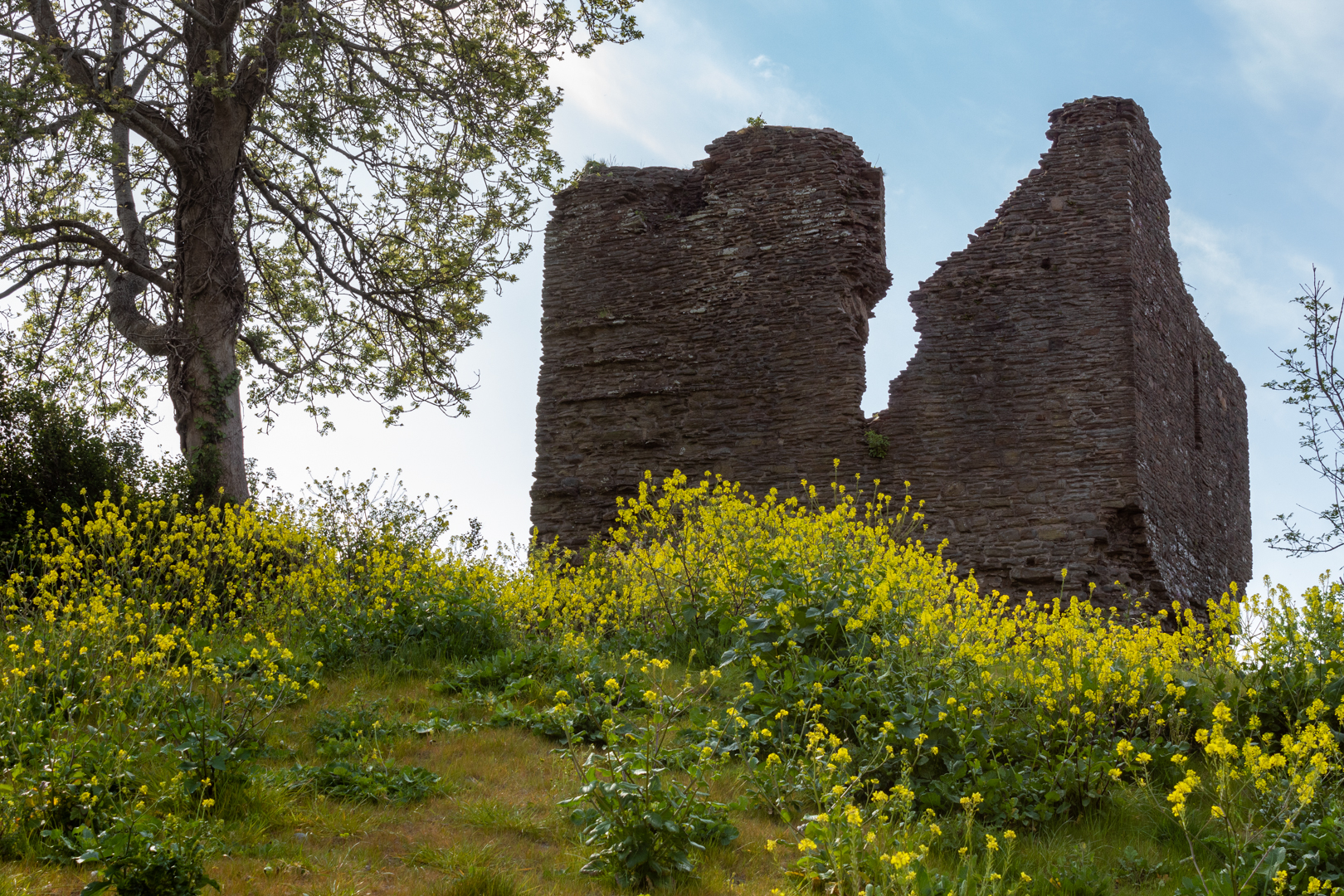
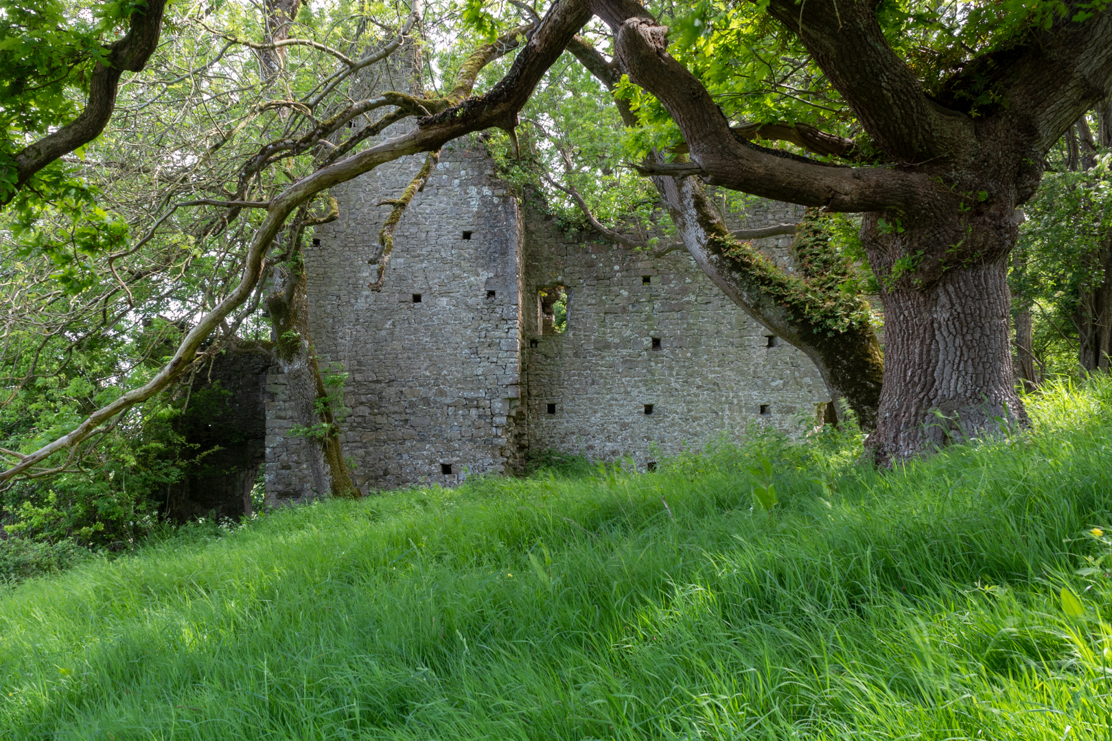
In one of the orchards, we find East Orchard Castle now a ruined building whose remains date mainly from the 14th century.


East Orchard Castle


While it is named a castle, I suppose it would be classed as a fortified manor house however despite this it was not fortified in the style of one and is officially classed as post-medieval and broadly defined as a domestic manor house dwelling.


East Orchard Castle


It has been in ruins since the late 18th century, the house having been dismantled from 1756.


East Orchard Castle


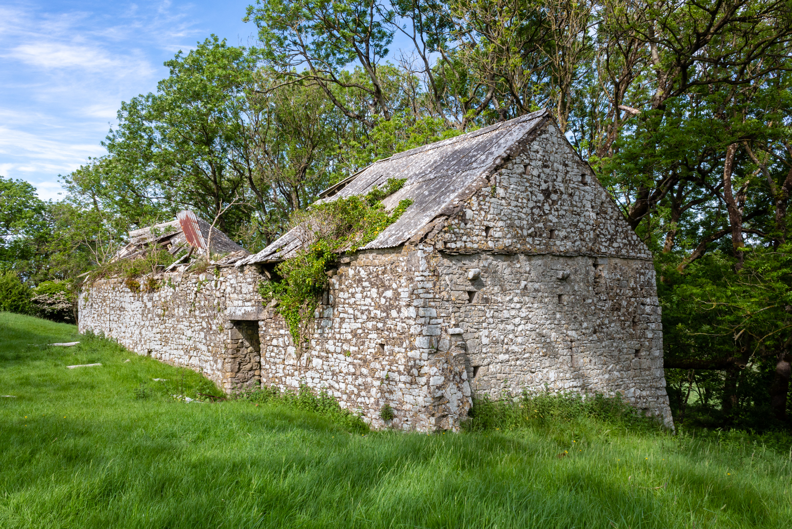
While East Orchard is one of the mysterious ruins in the Vale. It must have been a substantial building. It had a chapel, a barn and a dovecote.


East Orchard Castle


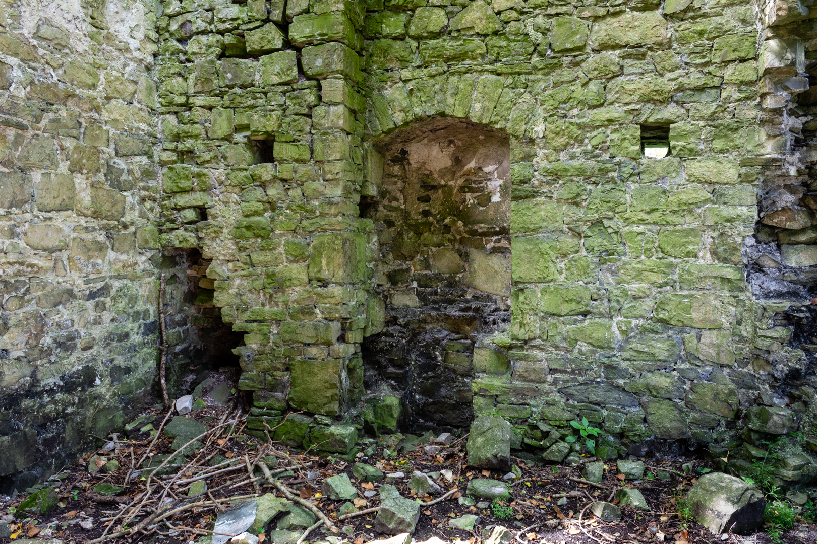
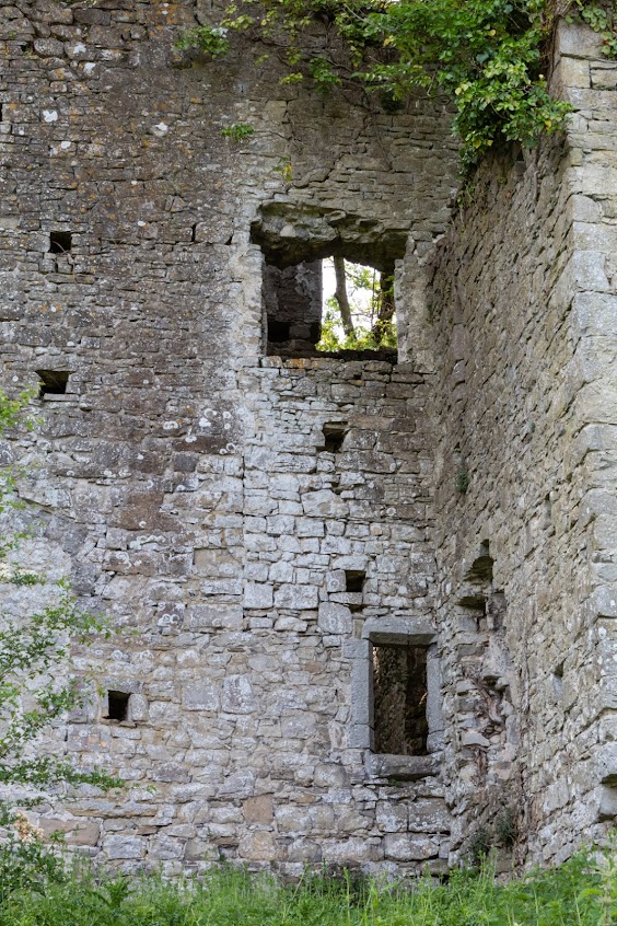
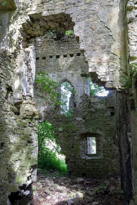
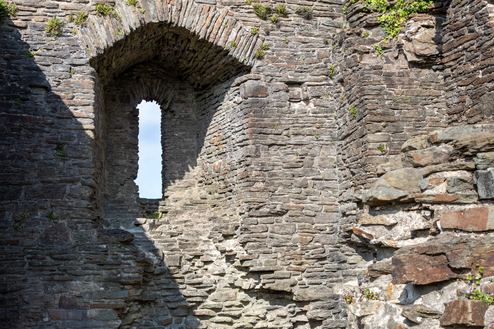
In the main manor house you can still see some of the features like the fireplaces and windows.

The layout and style would seen to confirm the mansion was entirely residential rather than defensive.


East Orchard Castle


The manor looks like it may have been a two-story or even three story house.


East Orchard Castle


An earlier structure on this site was destroyed in 1316 during a revolt led by Welsh leader Llywelyn Bren, but the residence was soon rebuilt.


East Orchard Castle


The mansion was constructed for the Berkerolles family who had been resident in this part of Glamorgan since shortly after the Norman conquest, though much of their history is unclear.


The Berkerolles were subsidiary to the Lords of St Athan, and they occupied the mansion until the early 1400s when the house passed by marriage to the Stradling family from St Donats.


East Orchard Castle
The Barn/Outbuilding and Dovecote


The Stradling family endured for several centuries and carried out various improvements to the buildings. The castle was sold in 1756 but then soon abandoned and partially dismantled, and has been ruinous for over 300 years.


East Orchard Castle
The chapel in ruins (left) 


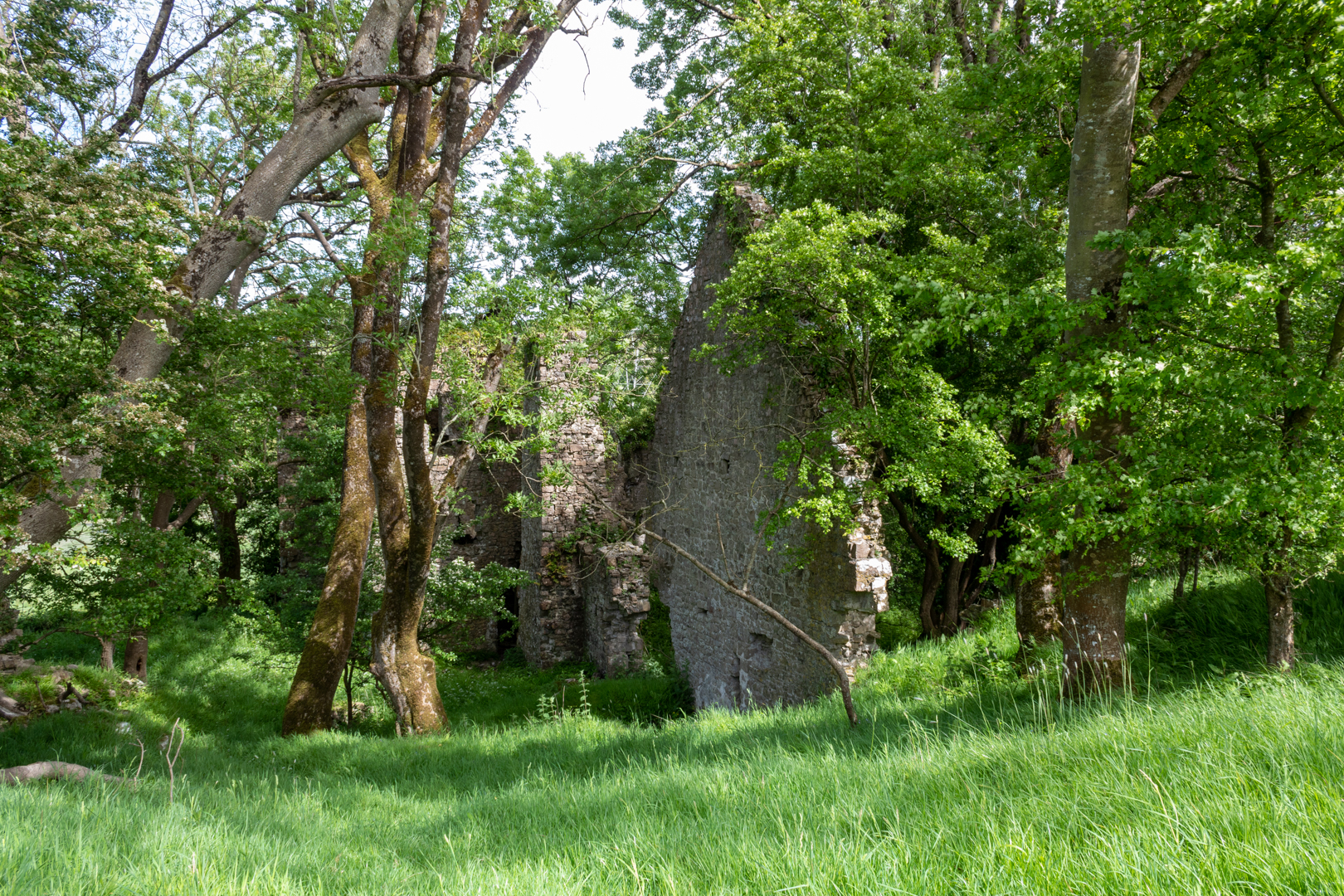
The three main structures outside the manor house, the Chapel, Barn and outbuilding can still be seen

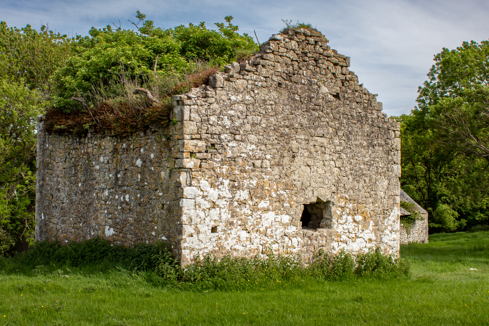
The Chapel seen here on the left is in the most ruinous state and none of the features remain but just the remnants of the walls.


East Orchard Castle, Barn


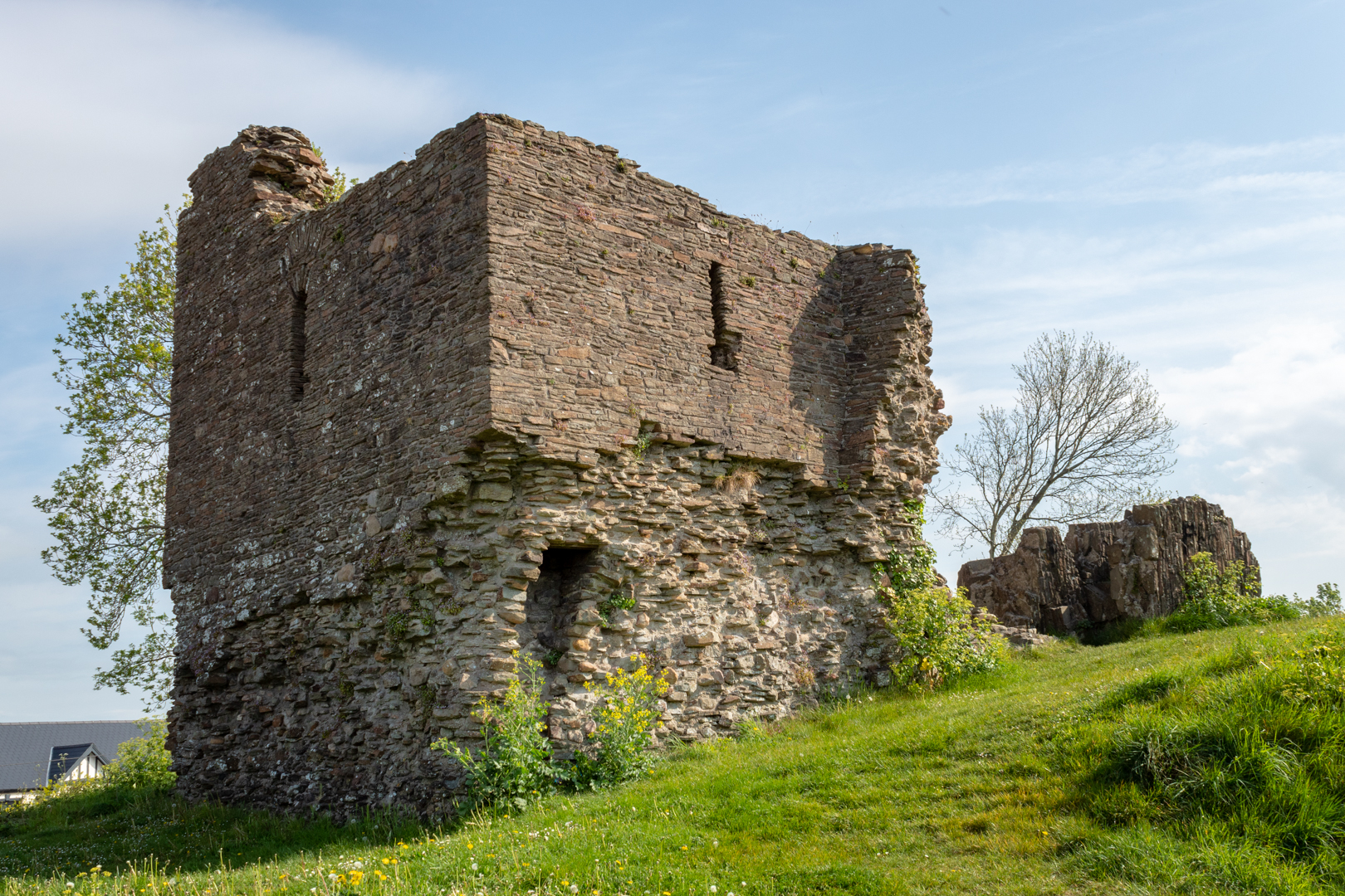
However, the barn looks like it has been used as a farm building more recently although now it is also in a poor state.


East Orchard Castle, Barn


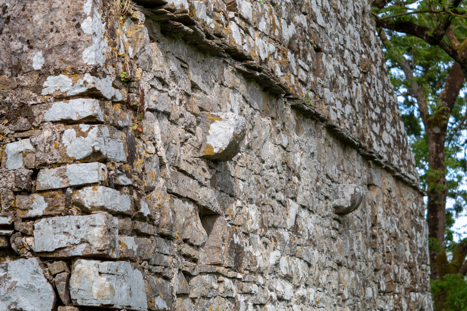
Although you can see some of the features you would find on a structure of this age.


East Orchard Castle, Dovecote


The dovecote is still standing and looks externally to have stood the test of time better than the other buildings.


East Orchard Castle, Dovecote


You can see internally the box holes are built into the walls where the nesting birds would have been. Not shown here is the massive tree that is now growing through the building.


East Orchard Castle, Outbuildings


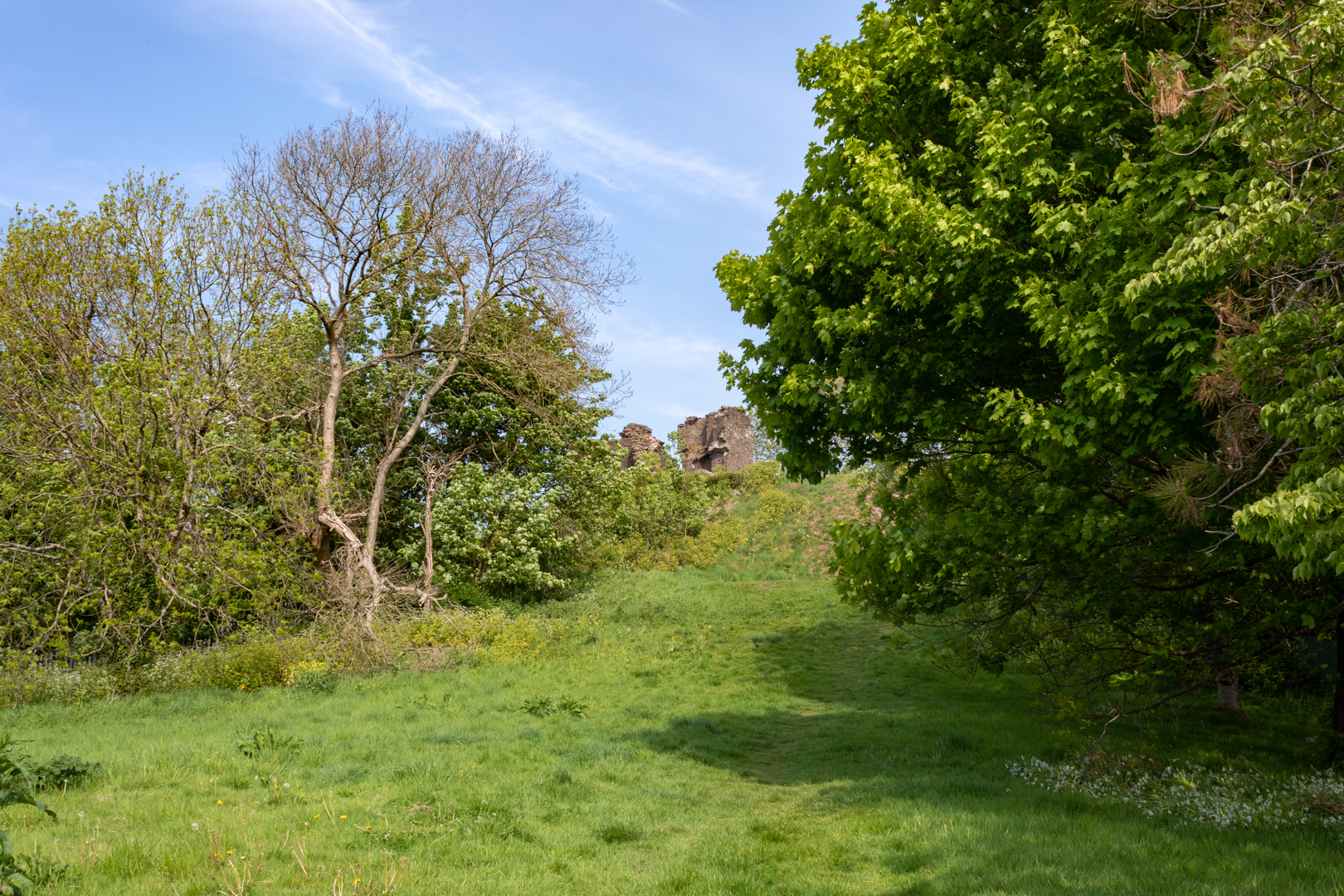
The manor is mostly surrounded by a belt of woodland, on the west side of the shallow but relatively steep-sided valley of the River Thaw, 1.5 miles from the coast, near St Athan, with further natural protection provided by a tributary valley a short distance north.


Currently, it is a peaceful and tranquil place that is quite easy to get to and is in a very quiet part of St. Athen.


Footer:
Visit Information:-
Google Reference
51.403302827696336, -3.3973049137655678

What Three Words reference:-
///roaming.canal.offshore

OS Grid Ref
ST 02899 68068

Additional information.
Visiting is easy but parking near by may not be.

There is a small pull in lay-by (51.39926230839226, -3.397730966275135) but this is part of an maintenance access road. It should be ok at the weekends but please take care.

Alternatively St. Athen Village (1 mile away) or at Four Cross Station (Petrol Garage) about 500 yards away.


Once at the lay-by there is a walkway just past the eastern end of the Lay-by walk up the steps and over the style (this is an official "marked" pathway).

Enter the field on the left of the stile and keep forward along the hedge, past the old pillbox and to the top right hand side of the field. Here there is a style although the step part was broken. After this stick to the path for 5 minutes and the Castle will come into view.

BTW Google maps directions do not take you this way but this is by far the best way (the OS app is better here)


Thank you for visiting this blog.


If you would like more information on this location please feel free to contact me.


Read More

WW2 Pillbox on Kenfig Sands


 Visit Date 05-2022: . 


WW2 Pillbox on Kenfig Sands


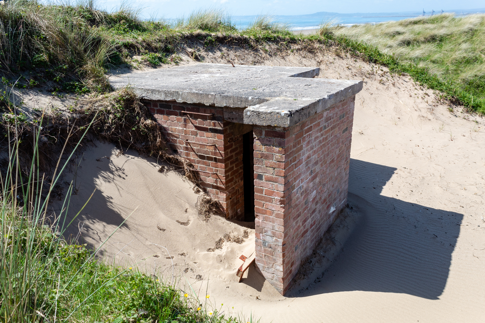
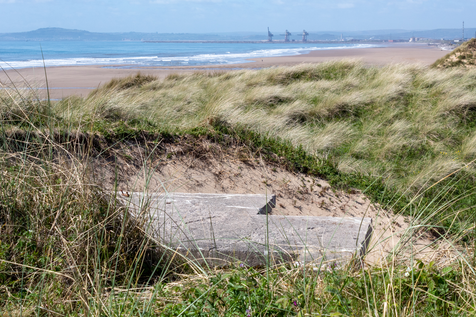
About 28,000 pillboxes and other hardened field fortifications were constructed in Britain in 1940 as part of the British anti-invasion preparations for World War II. About 6,500 of these structures still survive. Along the beach at Kenfig sands is the remains of one of these abandoned structures.


WW2 Pillbox on Kenfig Sands


A pillbox is a type of brick, block, or concrete dug-in guard-post, normally equipped with slits of gaps through which defenders can fire weapons. It is in effect a trench firing step, hardened to protect against small-arms fire and grenades, and is usually raised to improve the field of fire.
The modern concrete pillbox originated on the Western Front in the German Army in 1916.


WW2 Pillbox on Kenfig Sands


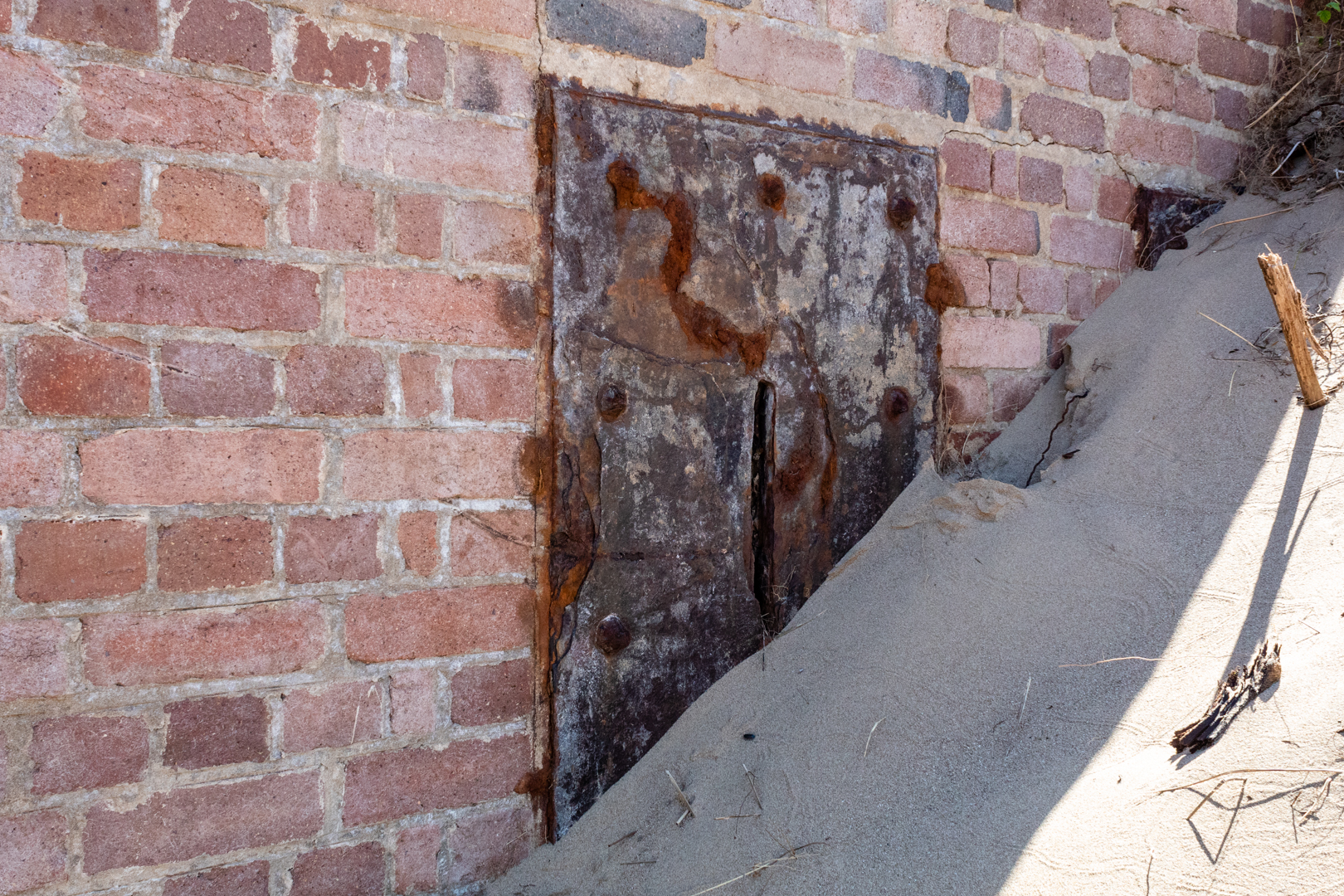
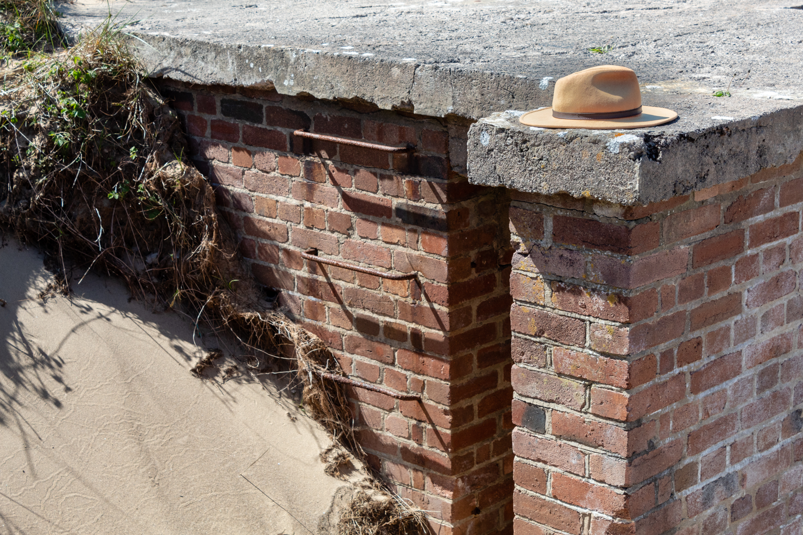
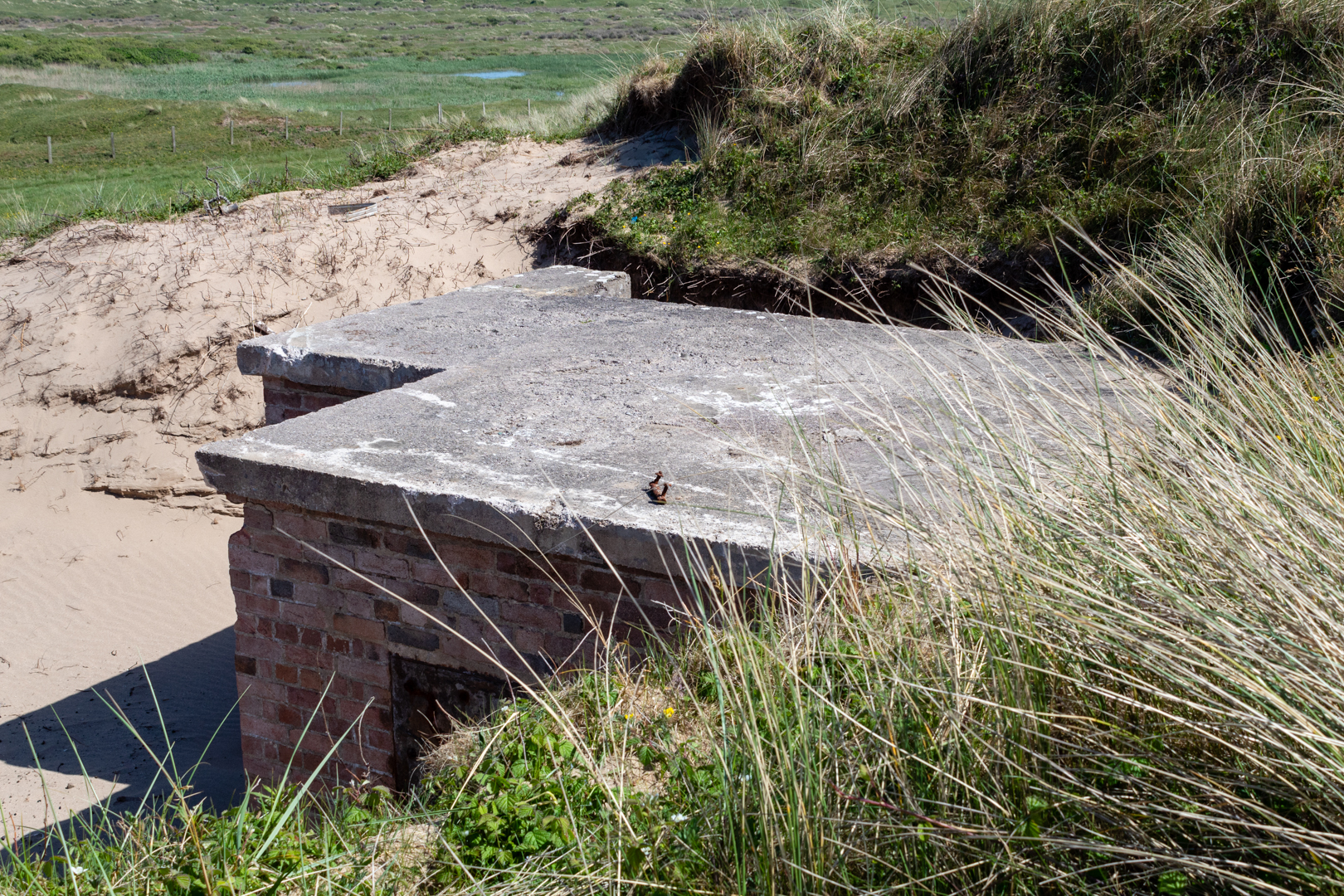
The pillbox on Kenfig sands is built of brick with a concrete roof and was buried in the sands here for many years but is now being exposed once again.
Kenfig is near the sea and has always been at the mercy of the drifting sand dunes in the area. Just a few miles down the coast from here a bronze age settlement grew over the years and a Norman castle was built on the site only for the village to be abandoned when the sand could no longer be held back. The keep of the castle is all that is left to be seen at the site.


A few years ago the UK "Time Team" made a TV episode of their archaeological dig on this area and the report is available and the programme is available for some countries.

https://www.channel4.com/programmes/time-team/articles/series-19/kenfig-dig-report/492

The position of this pillbox is not recorded as far as I can tell but I am now attempting to add it to Google maps.


WW2 Pillbox on Kenfig Sands


There are different thoughts on the origin of the name pillbox he most likely is that with their slots they resemble post pillar boxes, however, it is also thought that as many were round that they resembled actual medicine pill boxes.


WW2 Pillbox on Kenfig Sands


The positioning of this is only 2.5 miles (as the crow flies) away from the radar station above Port Talbot that I mentioned in an earlier blog that you can find here.


WW2 Pillbox on Kenfig Sands


Footer:
Visit Information:-
Google Reference
51.53316706915935, -3.760472908611369

What Three Words reference:-
///crackling.librarian.prospers

OS Grid Ref
SS 77989 83050

Additional information.
Visiting is not so easy as you will need to be able to walk some distance.

The easiest way would be to park in Kenfig Nature reserve (51.51591341284918, -3.7282361412960436) and then walk to the beach and then west on the beach ( 3miles)

Another route would be to park near Maudlam Church (51.52390184618248, -3.722235803836141) and walk across Kenfig Burrows (3.5 miles)

A third option might be to park around Kenfig industrial estate. (51.533298360212996, -3.737641631660293) A much shorter 1.3 miles. But a little more complicated route.


Thank you for visiting this blog.
If you would like more information on this location please feel free to contact me.


Read More

East Usk Lighthouse (and West)

 Visit Date- 04-2022:. 

East Usk Lighthouse


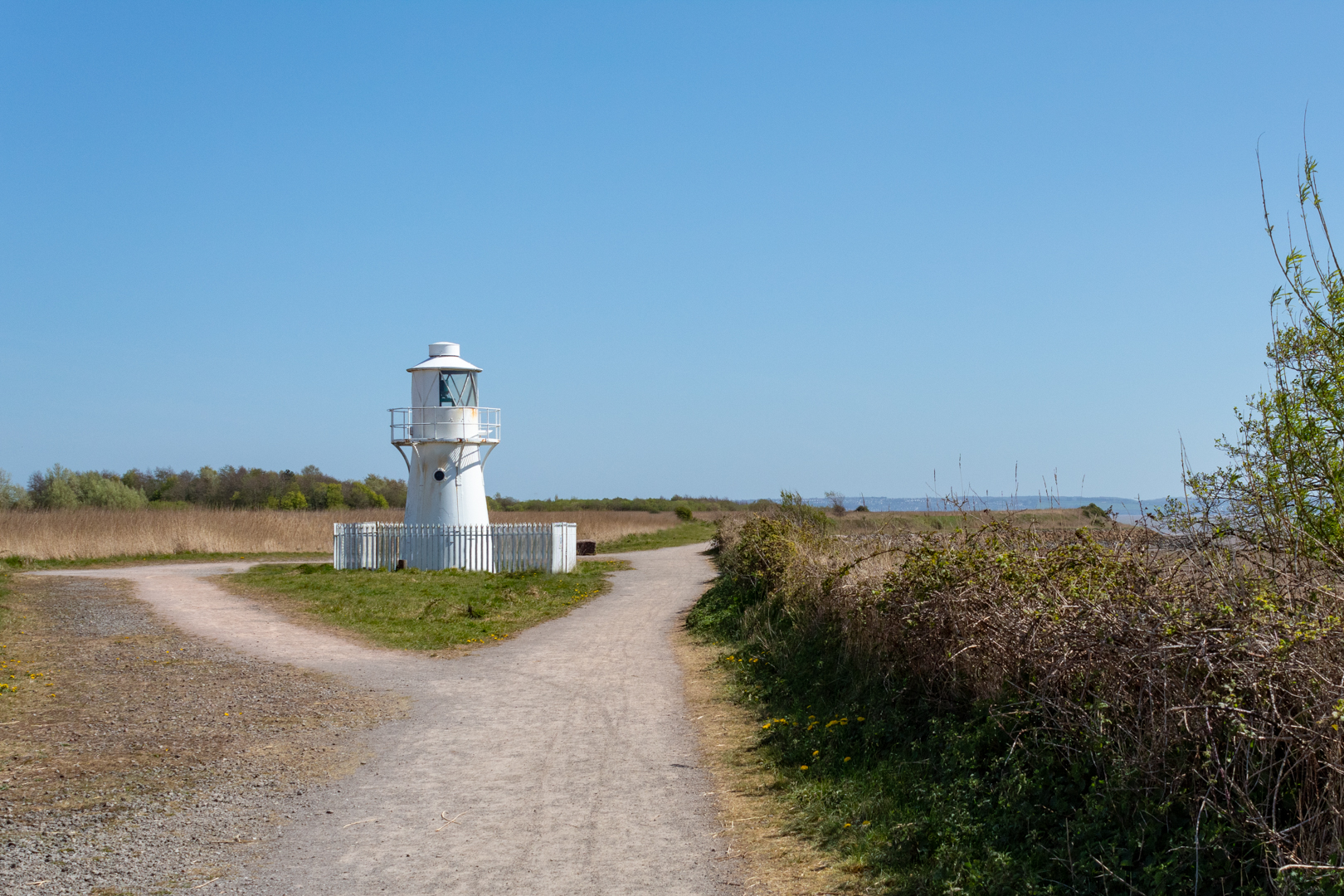
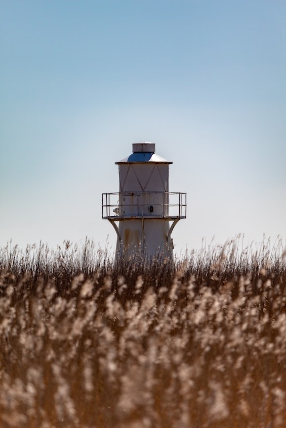
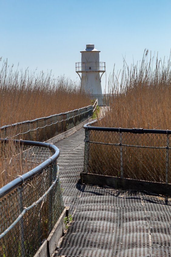
The East Usk Lighthouse was constructed in 1893 by Trinity House. it stands guard at the eastern entrance to the River Usk in the Severn Estuary at Newport in South Wales.
Historically, the tidal reaches of the Usk have been used as a major shipping port for much of the last millennium, mostly because of its wide and deep mouth, and good navigable access from the Severn Estuary and the Bristol Channel and thence access to home waters and further overseas.


East Usk Lighthouse


It exhibits the remaining operational light of the two lighthouses this one on the east bank and the other on the west bank of the river Usk.


East Usk Lighthouse


Originally built on legs, these were eventually covered as the level of the land increased due to the tipping of fly ash from the Uskmouth Power Station.


East Usk Lighthouse


The lighthouse Displays a Port Entry Light consisting of occulting Red, White and Green light sectors that guide shipping into the entrance of the Newport dredged channel.


East Usk Lighthouse


It was the first Trinity House lighthouse in the UK to use the Dalén Sun Valve, an ingenious device for turning an unwatched light on and off using daylight. Combined with the flashing apparatus, the sun valve saved 94% of the gas compared to having the light operating all the time.


East Usk Lighthouse


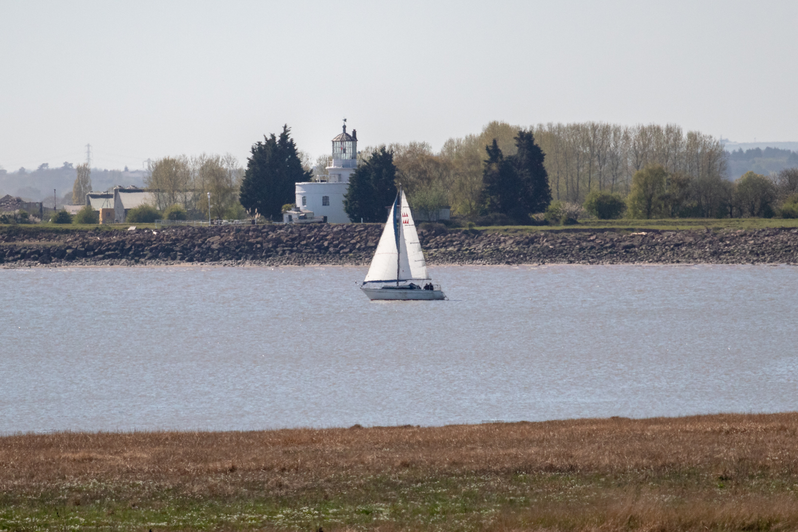
And across the river:-


The West Usk Lighthouse, on the opposite side, was decommissioned in the 1920s.


West Usk Lighthouse


The lighthouse was the first to be built by renowned Scottish civil engineer James Walker in 1821. Amongst other projects, Walker went on to build another 21 lighthouses.


West Usk Lighthouse


The West Usk Lighthouse now is a cosy bed & breakfast and small wedding venue.


Footer:
Visit Information:-
Google Reference
51.54000309880295, -2.9669295034881444

What Three Words reference:-
///escaping.polishing.moves

OS Grid Ref
ST 33032 82787

Additional information.
Visiting is really easy as the lighthouse is in Newport Wetlands, a wildlife reserve covering parts of Uskmouth, Nash and Goldcliff, in the south-east of the city of Newport,

There is a car park .(51.546183353252786, -2.96084537665131).

The lighthouse is a 10 minute flat walk from the car park.


Thank you for visiting this blog.
If you would like more information on this location please feel free to contact me.


Read More

Loughor Castle.

 Visit Date May 2022..

Lougher Castle  on the north of the gower coast


Loughor Castle is situated in a strategic location on the north of the Gower coast and the site has a long history.

Its history starts in around 75 AD when the Romans built a fort on the site then known as Leucarum, which took its name from the Celtic name for the River Loughor (in Welsh, Llwchwr; Leucara, in Latin).


Lougher Castle  on the north of the gower coast


It was used as a military fort intermittently until the 5th century when it was abandoned.

When the invasion of the Normans spread to Wales in the late 1060's they occupied the fort and as in many cases in Wales rebuilt their settlements on the older Roman sites.


Lougher Castle  on the north of the gower coast


Early in the 12th century, the Normans extended their control over southern Wales and the Earl of Warwick, Henry de Beaumont, became the area's overlord after he had been given the Gower Peninsula by Henry the first.

By 1116, an oval ringwork castle existed on top of the earlier fort.
At this time the castle and its defences would have been wooden structures.


Lougher Castle  on the north of the gower coast


In 1151, the Welsh attacked Loughor Castle and burned it. Curiously scorched Norman chess pieces, possibly dating to this event, have been unearthed at the site.


Lougher Castle  on the north of the gower coast


The Normans once again took charge of the castle and the first of the stone structures of the castles were constructed.


In 1203 King John Gave the castle to his ally William de Braose; William was a powerful Marcher Lord.


Lougher Castle  on the north of the gower coast


The rectangular stone tower that now dominates the site was constructed.


Lougher Castle  on the north of the gower coast


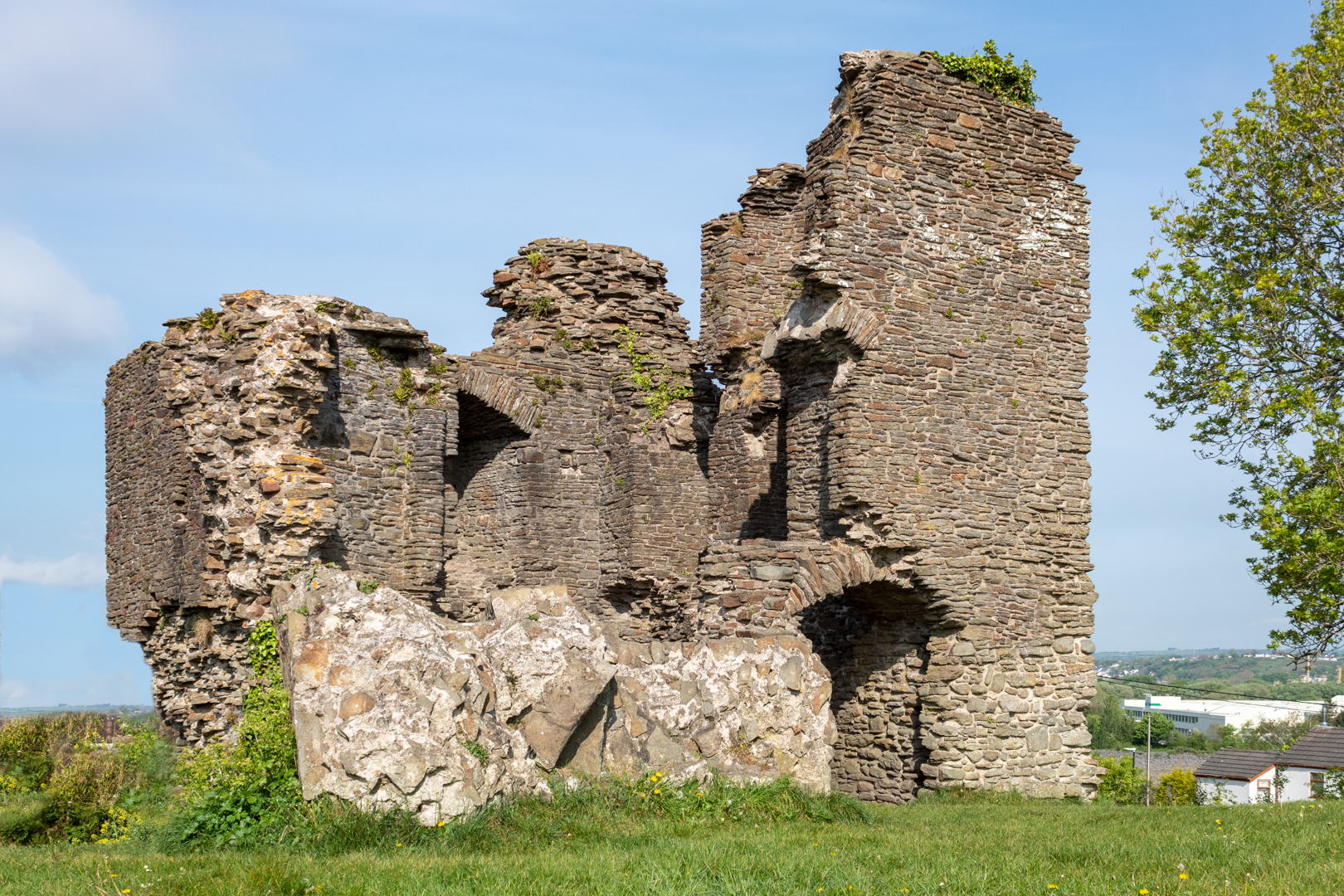
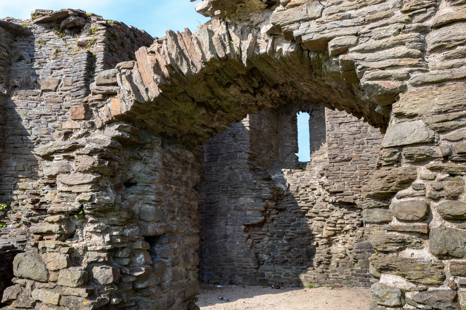
Though greatly ruined, the two-storied tower retains enough of its original structure to give a fairly complete picture of how it was used.


Lougher Castle  on the north of the gower coast


The fireplaces, fine windows, and garderobe (latrine chute) suggest that the tower was residential, perhaps housing the lord of the castle and his household.


Lougher Castle  on the north of the gower coast


William allied himself with the Welsh prince Llywelyn the Great and war broke out. William died in 1211, but his son, Reginald, continued fighting and married Gwladus, Llywelyn's daughter.

In 1215, the castle was captured by Llywelyn's forces and control of Gower was granted to Reginald.
Two years later, however, Reginald made peace with the English Crown and Llywelyn removed him from power, replacing him with the Welsh prince Rhys Gryg.

Llywelyn married another of his daughters, Margaret, to Reginald's nephew, John de Braose, and in 1220 Llywelyn gave him Gower and Loughor Castle,


Lougher Castle  on the north of the gower coast


In 1232 the castle was inherited by John's son, William de Braose, and in turn his son, also called William. In the second half of the century, Wales saw a renewal of fighting, and the castle was attacked again in 1251 which lead to the stone defences being improved once again.

In 1302, William de Braose granted the Loughor estate to his seneschal, John Yweyn, for life in exchange it is said for an annual fee of a greyhound collar.

On John Yweyn's death in 1322 the lands were seized by John de Mowbray, William's son-in-law he was executed later the same year however for taking part in a rebellion.

Edward fell from power in 1327, and the Loughor lands were granted to John de Mowbray's son, John.


Lougher Castle  on the north of the gower coast


This was the last of the importance of the castle and its condition started to deteriorate, For a few hundred years the site continued to fall into ruin then in the 1940's the main tower of the building collapsed and the ruin was left as it can be seen now.


Although not much is left of this historic place there is enough to warrant a short visit to this historic place which is close to the beautiful Loughor Estuary.


Footer:
Visit Information:-
Google Reference
51.66219879408081, -4.077424328580057


Search term
Loughor Castle.

What Three Words reference:-
///declining.fatigued.romance

Additional information.
Visiting is really easy as the castle is located alongside the main A4240 road in the village.
You may be able to park on the road however, there is a small car park (free) close by (51.66332518930001, -4.078047165998971).
It is a short walk 5 mins from here to the castle and you will also be rewarded by great views of the river and the estuary from here.


Thank you for visiting this blog.
If you would like more information on this location please feel free to contact me.


Read More

Search This Blog

About Me

Bridgend, United Kingdom
A renewed interest in photography and local history.
Contact Me

Name

Email *

Message *

Followers