Visit Date 05-2022: .
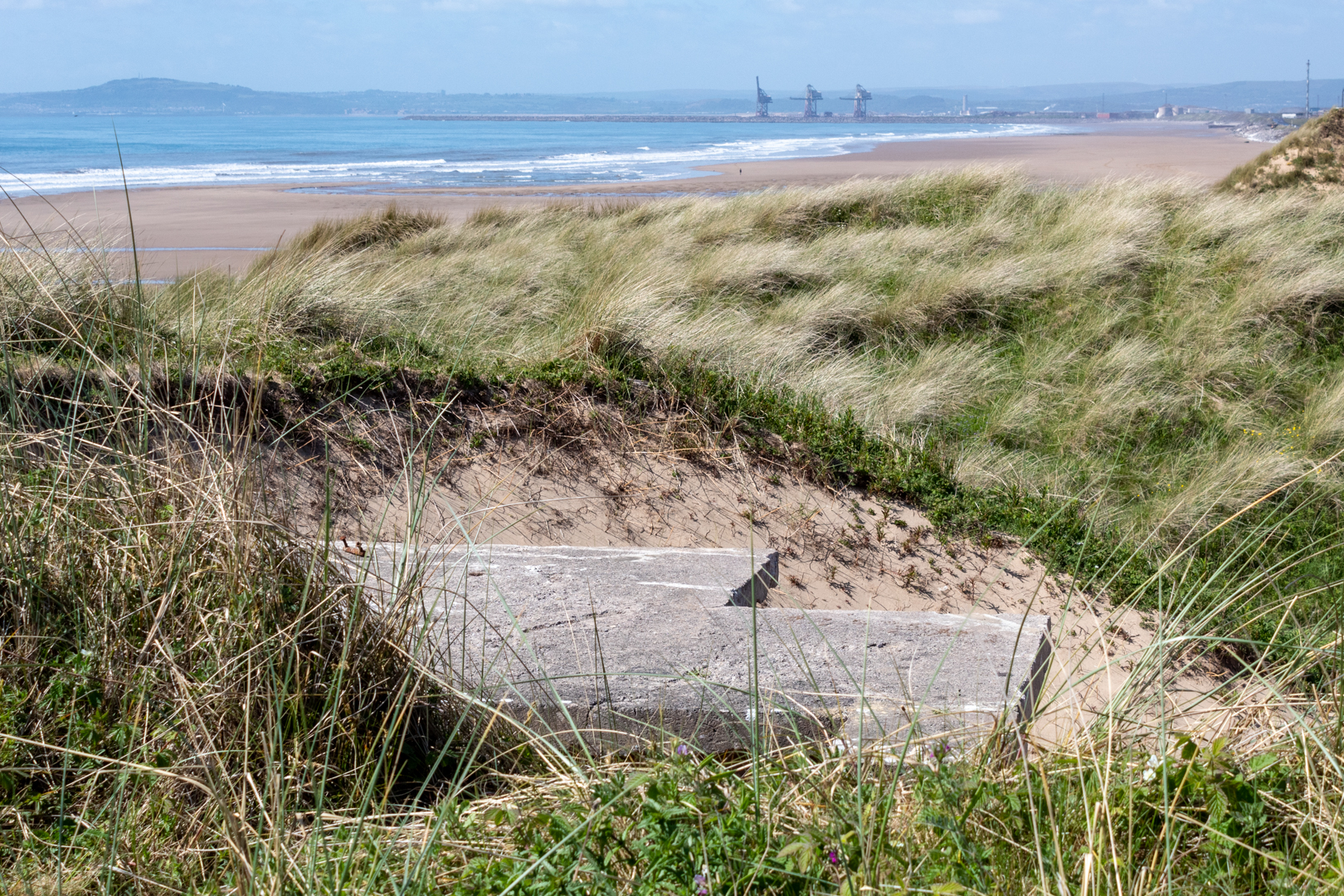
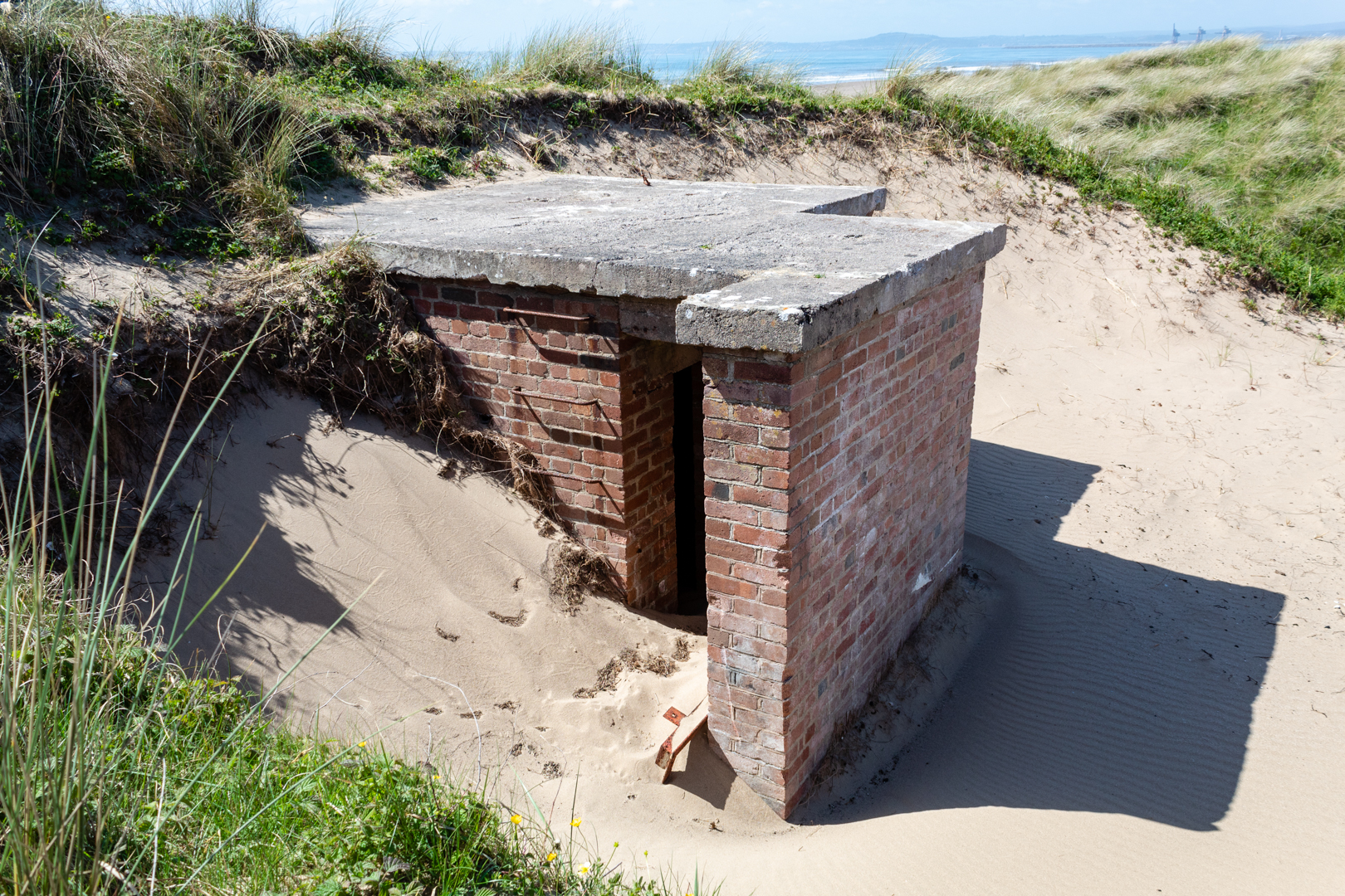
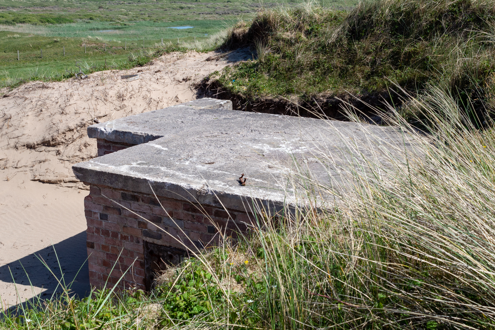
About 28,000 pillboxes and other hardened field fortifications were constructed in Britain in 1940 as part of the British anti-invasion preparations for World War II. About 6,500 of these structures still survive. Along the beach at Kenfig sands is the remains of one of these abandoned structures.
A pillbox is a type of brick, block, or concrete dug-in guard-post, normally equipped with slits of gaps through which defenders can fire weapons. It is in effect a trench firing step, hardened to protect against small-arms fire and grenades, and is usually raised to improve the field of fire.
The modern concrete pillbox originated on the Western Front in the German Army in 1916.
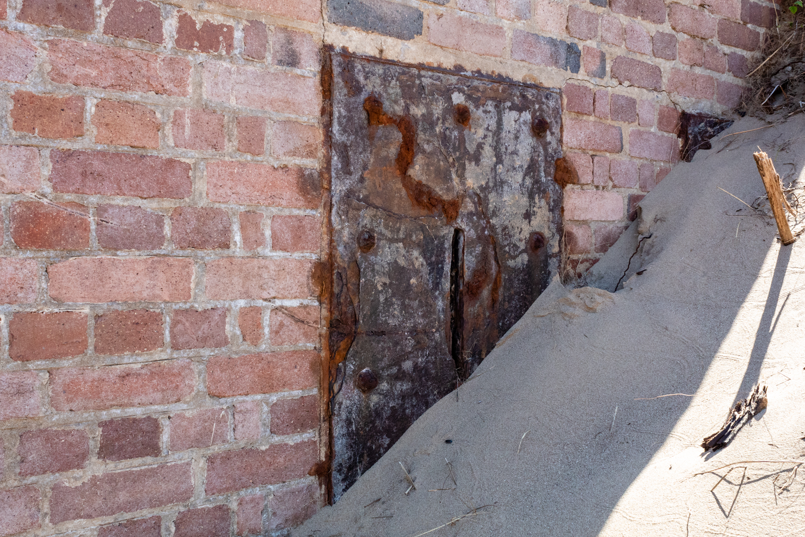
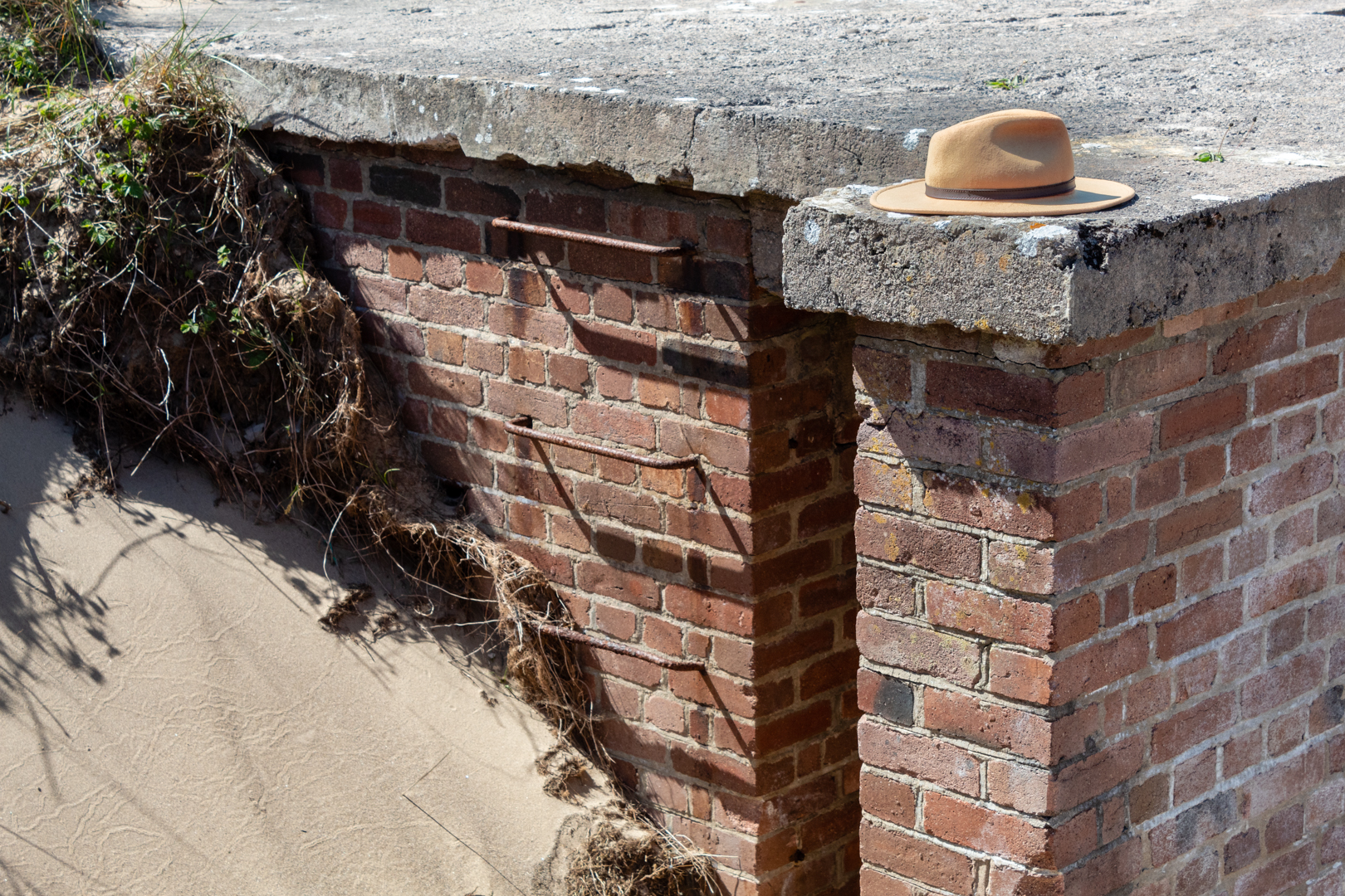
The pillbox on Kenfig sands is built of brick with a concrete roof and was buried in the sands here for many years but is now being exposed once again.
Kenfig is near the sea and has always been at the mercy of the drifting sand dunes in the area. Just a few miles down the coast from here a bronze age settlement grew over the years and a Norman castle was built on the site only for the village to be abandoned when the sand could no longer be held back. The keep of the castle is all that is left to be seen at the site.
A few years ago the UK "Time Team" made a TV episode of their archaeological dig on this area and the report is available and the programme is available for some countries.
The position of this pillbox is not recorded as far as I can tell but I am now attempting to add it to Google maps.
There are different thoughts on the origin of the name pillbox he most likely is that with their slots they resemble post pillar boxes, however, it is also thought that as many were round that they resembled actual medicine pill boxes.
The positioning of this is only 2.5 miles (as the crow flies) away from the radar station above Port Talbot that I mentioned in an earlier blog that you can find here.
Visit Information:-
Google Reference
51.53316706915935, -3.760472908611369
What Three Words reference:-
///crackling.librarian.prospers
OS Grid Ref
SS 77989 83050
Additional information.
Visiting is not so easy as you will need to be able to walk some distance.
The easiest way would be to park in Kenfig Nature reserve (51.51591341284918, -3.7282361412960436) and then walk to the beach and then west on the beach ( 3miles)
Another route would be to park near Maudlam Church (51.52390184618248, -3.722235803836141) and walk across Kenfig Burrows (3.5 miles)
A third option might be to park around Kenfig industrial estate. (51.533298360212996, -3.737641631660293) A much shorter 1.3 miles. But a little more complicated route.
Thank you for visiting this blog.
If you would like more information on this location please feel free to contact me.

Nicely done.
ReplyDelete