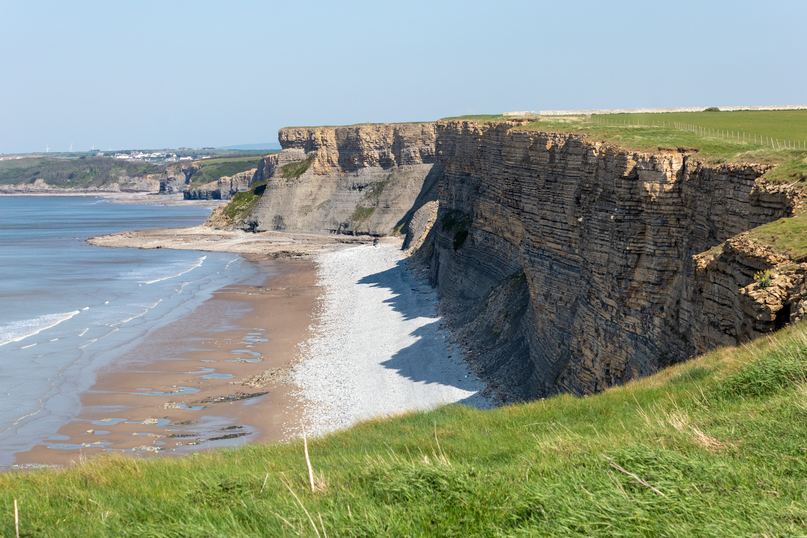
For today's blog, I am visiting another South Wales coastal bay at Monknash in the Vale of Glamorgan.
Monknash bay or beach is at the coastal end of a small valley called Cwm Nash.
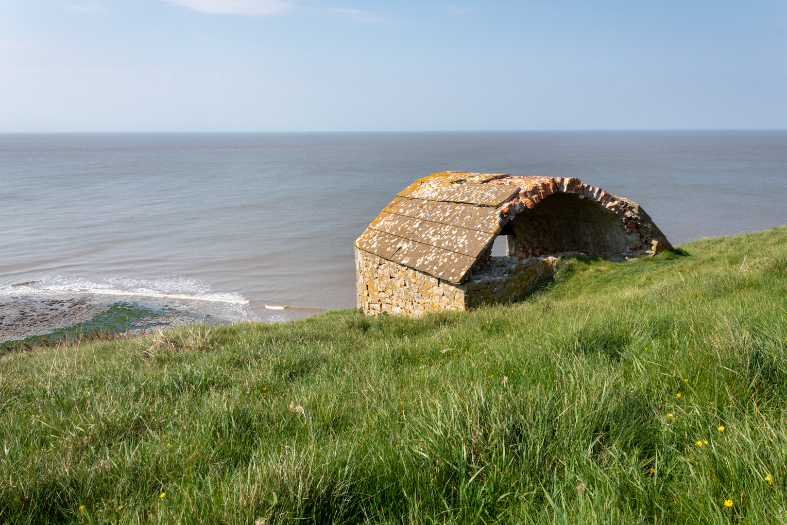
The reason I have visited here this time is not for the breathtaking coast and cliff but for this small building high on the cliffs.
This is a Coastguard Rocket Station.This is an early example of this type of building specifically built to house life-saving apparatus used when conditions prevented the lifeboat from deploying.
These locations would have had rocket apparatus which could fire a rope out from the land to any ship that ran aground on the rocks. The rope would allow the ship's crew to pull in the attached breeches buoy. The breeches buoy was a pulley system that could winch a sling out to the ship and then winch it back with a person in the sling.
Rocket Houses became a vital part of seafaring rescues and his one dates from the late 1870s and is on an OS map dated 1877. This would seem to be correct as many of these Rocket Houses" were built along the coast at this time.
On the front wall of the rocket house, I found this mark.
Someone I met at the site thought it might be a mark to state that the building was owned or looked after by the government or forces however, I believe it is an ordinance survey benchmark.
***(From Wikipeadia)
The term benchmark, bench mark, or survey benchmark originates from the chiselled horizontal marks that surveyors made in stone structures, into which an angle-iron could be placed to form a "bench" for a leveling rod, thus ensuring that a levelling rod could be accurately repositioned in the same place in the future. These marks were usually indicated with a chiselled arrow below the horizontal line.
The term is generally applied to any item used to mark a point as an elevation reference. ***.
.
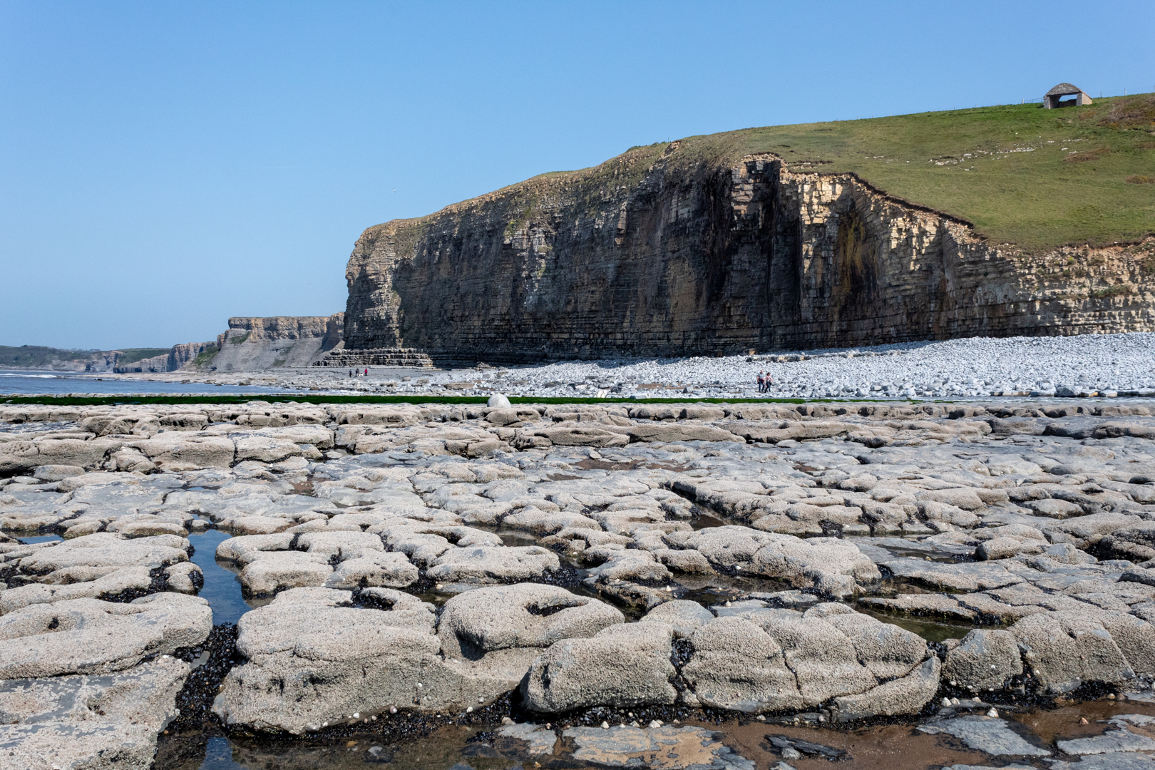
As you can see this is a beautiful part of the coast here which gets battered frequently by the sea.
There have been many wrecks on this part of the coast one of which I have mentioned in an earlier
blog regarding the wreck of the The Wreck of the Altmark
A little while ago some human bones (at least six) were found protruding from the rock face here and it is thought that they are either an early unofficial burial ground or this may have been a burial of some sailors whose vessel was wrecked here.
The remains of people recovered from the site previously have been found to date from the 16th Century.
The earliest burial licence in the parish of Monknash - the area where the remains have been found - was granted in 1609.
And previous radiocarbon dating of remains found at the site showed they were from the late 16th Century or the early 17th Century, according to details published by Cardiff University.
- - - - - - - - - - - - - - - - - - - - - - - - - - - -
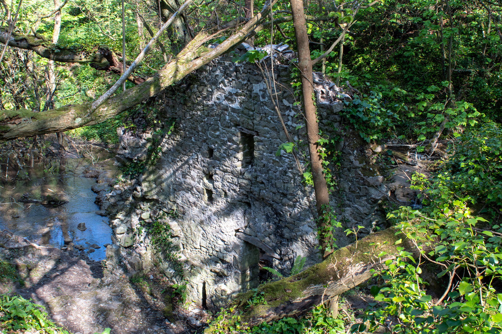
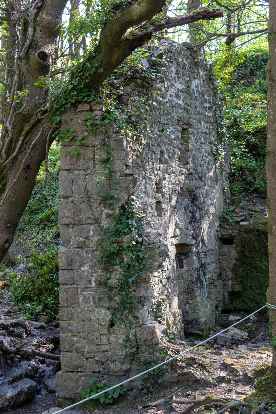
There is one other ruin of interest in Cwm Nash. As you walk up the footpath you come to this old ruin.
It is the ruin of an old corn mill that would have been powered by the river.
The northerly gable wall, against which was the waterwheel, stands to its full height, but the other walls are ruined more or less to ground level. The leat is visible and terminates at the mill at eaves level; the stone base of the wheelpit is clear and its floor is just above the stream level, both features together suggesting an overshot wheel about 3.6-4.2m (12-14 feet) in diameter by about a metre (just over three feet) wide.
Visit Information:-
Google Reference
51.41942070629259, -3.576461563665641
What Three Words reference:-
///adjust.gagging.inventors
Additional information.
Visiting is relatively easy and is a good walk from the car park (51.41891777077914, -3.5647860982640633) which is a farm field and there is an honesty box for payment on the entry post to the carpark (£3 currently).
You can then follow the path, some tarmacked, and some over cobbles. This will take you past the corn mill down to the beach (20 minutes or so). I think the corn mill is wrongly positioned on google maps I think it is nearer (51.42097552443006, -3.570768612493772) or (///farmland.exhale.different) but you can't miss it on the way to the beach.
The Station as you can see is up on the cliff and part of the official Wales coastal path but it does take some climbing.
Thank you for visiting this blog.
If you would like more information on this location please feel free to contact me.




Wow what a structure and such a beautiful, area!! Thanks for sharing that
ReplyDeleteAnother interesting blog David.
ReplyDeleteFascinating history. I had never heard of rocket houses. I've seen those marks before and thought they were War Department for some reason.
ReplyDelete