With a renewed enthusiasm for photography and local history, I set out this blog as a record of my experiences with images and narratives. It is my hope that you find something of interest on this site. Please feel free to contact me for more information on any of the posts. You can see a comprehensive list of my blogs at my website :- http://www.davidnurse.co.uk

Faces in the woods


FACES IN THE WOODS

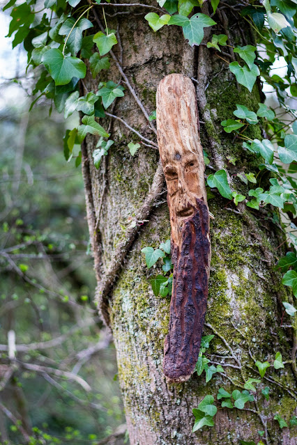
No history or legend behind this post only this to say. 
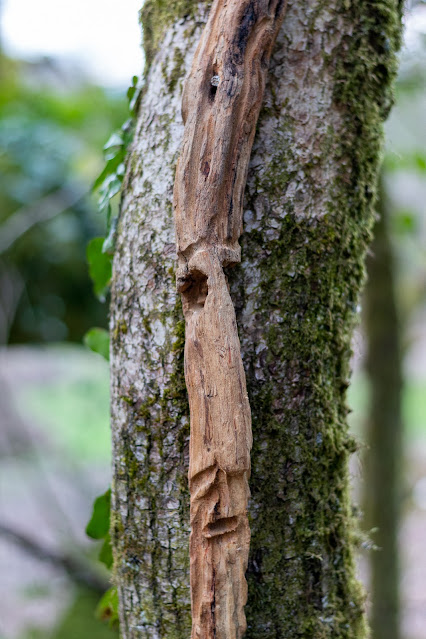
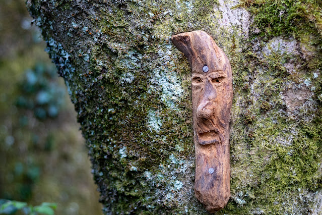
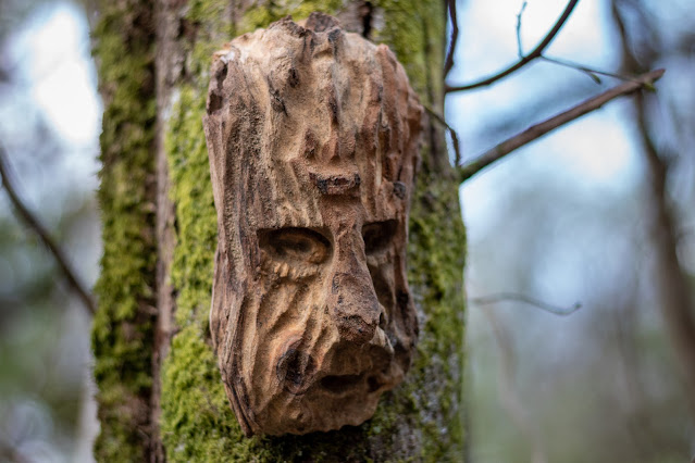
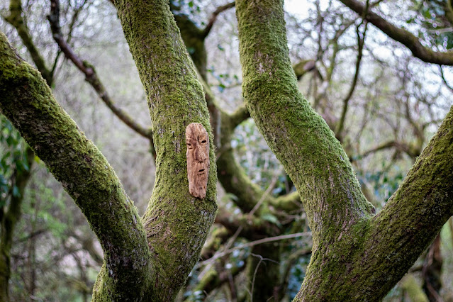
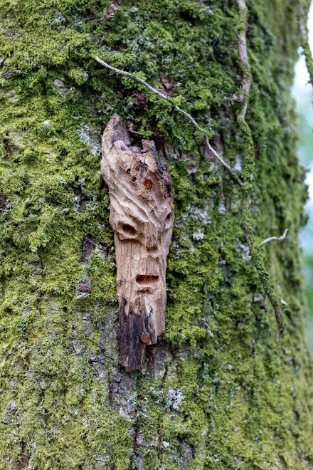
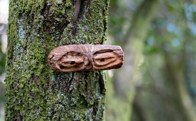
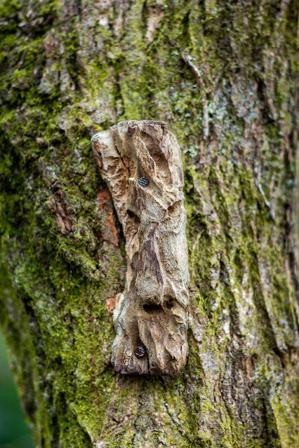
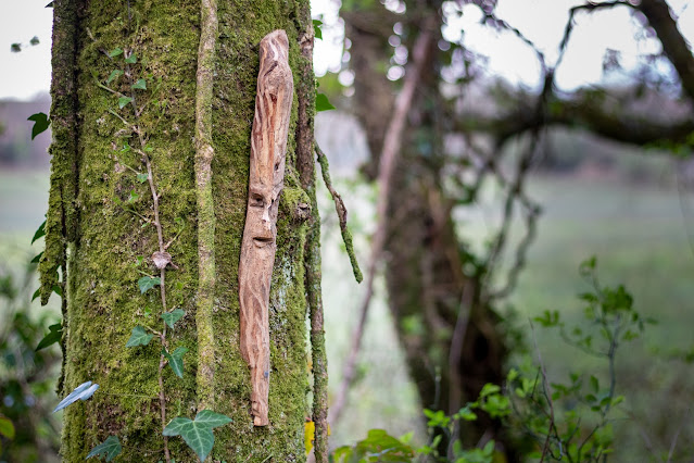
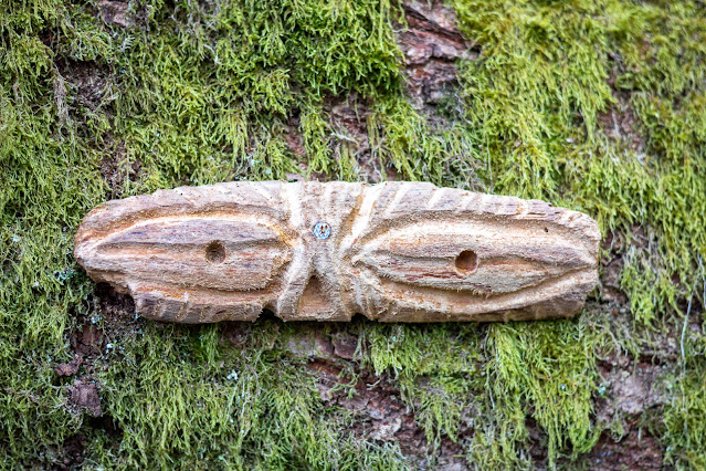
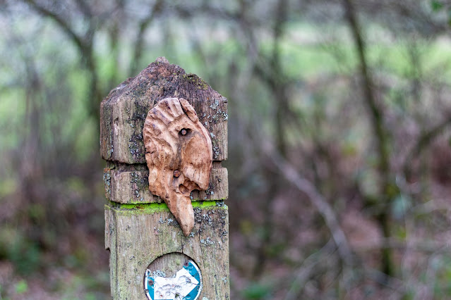
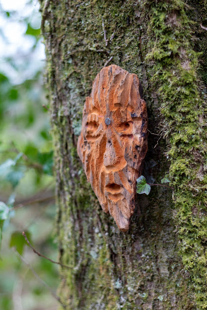
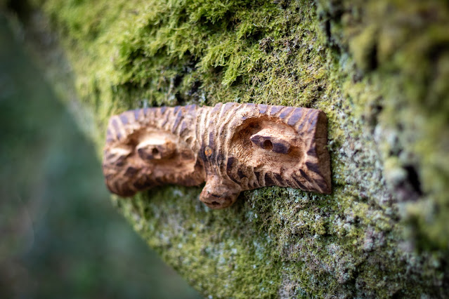
A walk through my local woods revealed that someone had 
taken the time to carve many faces on what looks like 
drift wood and then fixed them on the trees along the pathway.
I don't know who did this or the story behind the sculptures 
but it's a pleasing sight as you walk through the woods known 
locally as Bedford park or more correctly the older name of
 "The Waun"


Visit Date April 2023


Faces in the woods
Click on images for larger view

Faces in the woods

Faces in the woods

Faces in the woods

Faces in the woods

Faces in the woods

Faces in the woods

Faces in the woods
Click on images for a larger view

Faces in the woods

Faces in the woods

Faces in the woods

Faces in the woods

Faces in the woods

Faces in the woods

Faces in the woods

Faces in the woods

Faces in the woods

Faces in the woods

Faces in the woods

Faces in the woods

Faces in the woods
Click on images for a larger view

Faces in the woods

Faces in the woods

Faces in the woods

Faces in the woods

Faces in the woods

Faces in the woods

Faces in the woods

Faces in the woods

Faces in the woods

Faces in the woods

Faces in the woods

Faces in the woods

Faces in the woods

Faces in the woods

Faces in the woods

Faces in the woods


Note: Click on images for a larger view


Footer:
Visit Information: -

Google Reference: -
Between 51.537903859044945, -3.6545252539216273 
and 
51.536963600942975, -3.6719726491361966

What Three Words reference: -
Between ///decimals.penny.idea and ///cafe.strikers.clasping

OS Details: -
Between SS 85351 83434  Altitude:220 ft
and 
SS 84174 83335  Altitude: 206 ft

Additional information.
The above information is the two ends of the pathway of the woods.

There is good parking here (51.53821306322769, -3.654298149309796) at Bedford park.
It is a very easy walk through the woods.


A full list of blogs can be found at my website


Read More

Botallack


A Cornish Mining Village


Botallack is a small village at the southwestern end 
of the UK in the county of Cornwall.
Now a quiet little village this sleepy place was, 
not so very long ago one of the most important places
 in the UK if not the world.


Visit Date March 2023


Botallack Tin and copper mines
Click Image for larger view


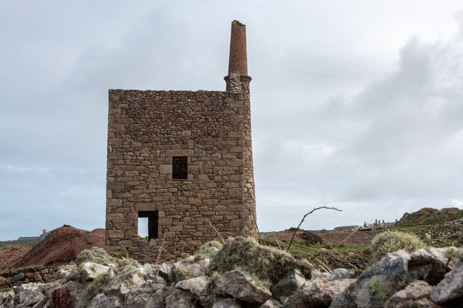
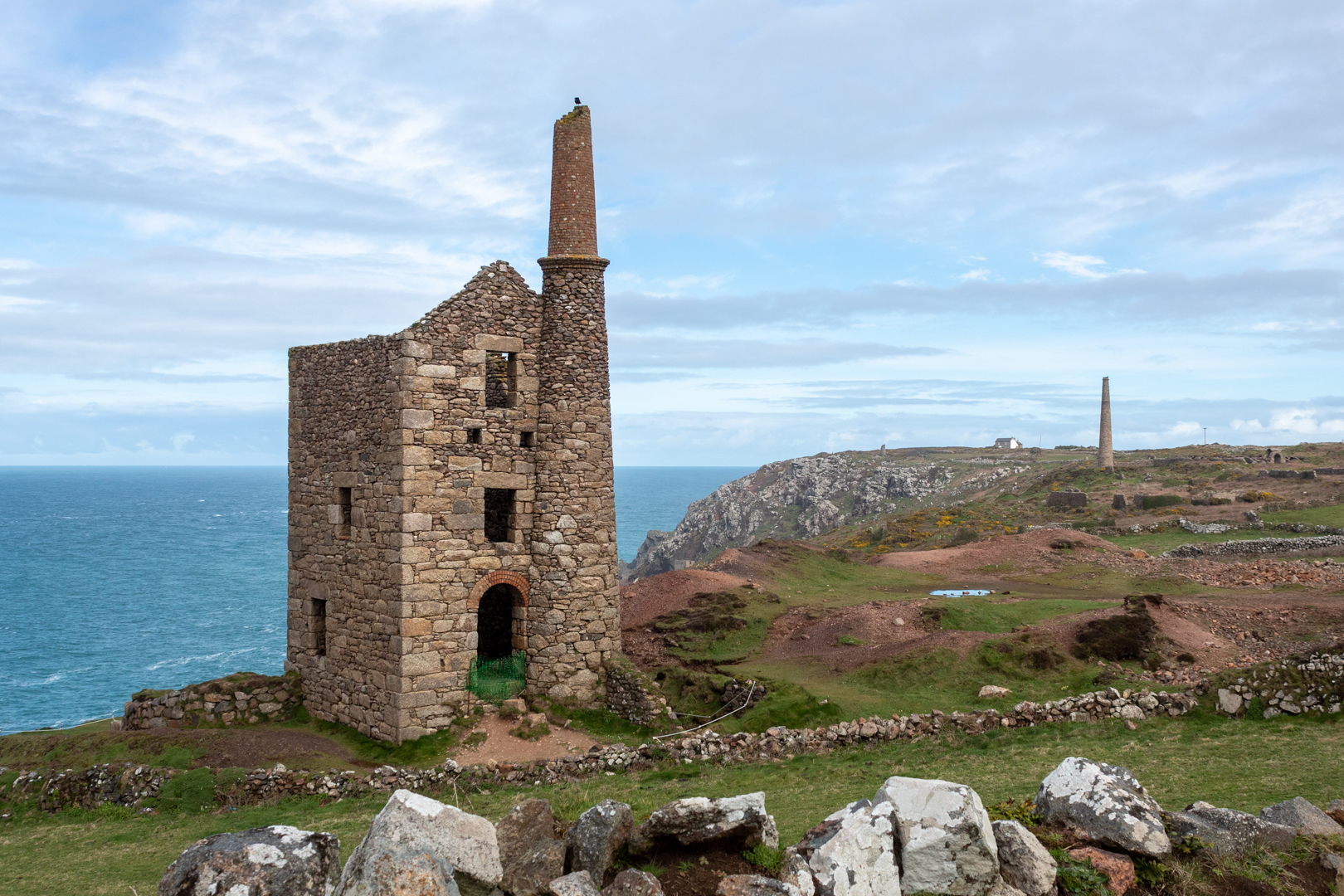
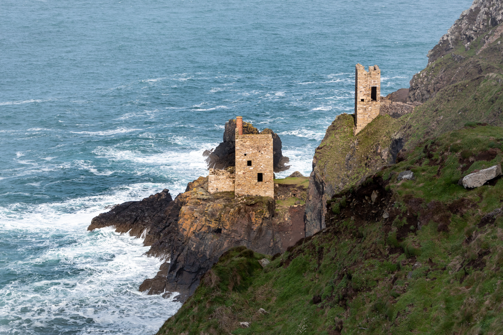
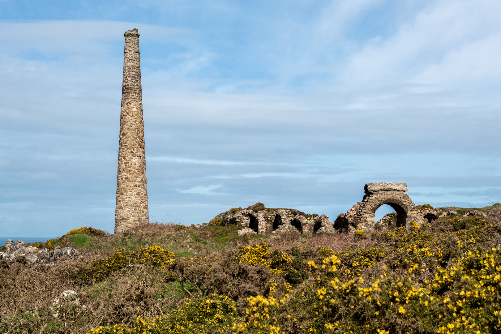
There are plenty of ruins here that lead you through the story of Botallacks past and how important this place was.


Botallack Tin and copper mines


During the 19th century, mining in the region needed to grow at a fast pace leading to the village also expanding. The reason? like many villages in Cornwall, Copper and Tin were abundant in the ground and vast wealth was to be gained from getting this valuable commodity out of the ground and processed.

During this period copper was in demand for telegraph cables, Tin was also needed to preserve foodstuffs and of course, the two combined made Bronze which was used in industry for many years.


Botallack Tin and copper mines


Starting life as a farming hamlet in a parish with a population of 2700 in 1801, it was the mineral ore laid down under the ground and out to sea that made this parish swell to 13000 by 1860.
Extensive building was carried out to house the miners moving into the county.


By 1860 this village was one of the best producers of copper and especially of tin anywhere in the world.
The industry employed over 90% of the area's inhabitants at its height this was around 500 people.


Botallack Tin and copper mines


Much of the ore was under the sea and mine shafts would have been sunk 500 metres vertically into the earth and then a further 500 metres out under the sea. Workers would have climbed down ladders to the bottom and then have to walk, often crouched over the rest of the distance to reach the mine face.


Over the years of operation, there would have been hundreds of mines excavated here as mines would have run dry over 10 years or so and then they would have needed to open another mine to find another seam of ore. The result is an area with over 30 miles of tunnels left behind after the work finished.


Botallack Tin and copper mines


In its time the mines at Botallack produced 15000 tons of Tin and 20000 Tons of copper.


Botallacks mines were very productive and the production here dominated the world's supply of copper and especially tin which was in short worldwide supply. Of course, this meant that the raw material was at a premium price but it was destined not to last as over time deposits of tin and copper were found in the far-flung territory of Australia and was being mined on vast scales which led to the price falling and by the turn of the century the mines became uncompetitive leading to tin and copper mining being no longer profitable.


Botallack Tin and copper mines


There was some relief to come, if only for a short time, as in the Victorian period, there was a by-product of tin mining that was to prove profitable, Arsenic.

Although a lethal product, in Victorian times arsenic was seen as something of a wonder, although the toxicity of the product was known it was used in many items. Clothes were dyed with arsenic producing bright green colours, it was also used in fabrics around the best houses with the new green wallpaper dyed with arsenic being very popular with those who could afford it.
It was also used in cosmetics and "health products" and was thought to be a cure for spots, and pimples and also used to soothe irritable skin and was common as an ingredient in medicated soap.


Botallack Tin and copper mines


So as the demand for this poison grew a process was produced for extracting it from the tin ore. Heating the ore until the arsenic gas escaped from it. The gas was then condensed and recovered by hand from the walls of the collecting catacombs.
The work was dangerous as breathing the gas or dust was debilitating and could be fatal, but also the arsenic would react to any liquid so protection had to be taken by the "collectors" as this dust deposit landing on sweaty skin would produce burning and pustules to form.


Botallack Tin and copper mines


As this product proved to be so dangerous, the production and storage of the product was soon to become so highly regulated that in the early part of the 20th century this product also became unprofitable and by 1914 production had stopped and mining in the area was lost forever.


Botallack Tin and copper mines


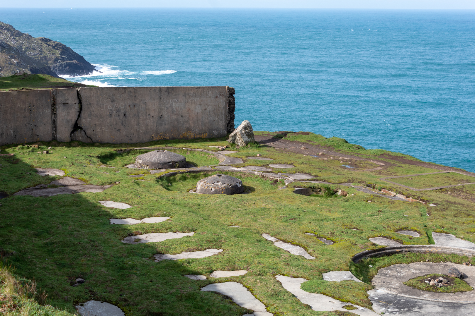
The remnants of this past history can now be seen along this coast which is now mainly dominated by tourism and visitors to this most beautiful part of the world are starting to be interested in the history as well as the stunning coastal scenery.




Footer:
Visit Information: -

Google Reference: -
50.14205102814375, -5.690590677648998

What Three Words reference: -
///survey.reserving.deposits

OS Details: -
SW 36247 33532 Altitude:139 ft

Additional information.
Please note that the references here point to the Crown mines of the area and are on the coastline.

There is good parking here (50.14076419722137, -5.6890185803205995) at the
The Count House, Botallack Mine. There is a café and visitor centre that are a must visit if you are coming here. There are also public toilets at the site.
The road to the car park is narrow but easily navigated.
The images here were all taken within 500 metres of the car park and the walking is easy.


A full list of blogs can be found at my website


Read More

Men An Tol


An Ancient Cornish Treasure

The name Men an Toll (note the extra l) in
Cornish means "the stone of the hole",
Aptly named for this 3500-year-old bronze age structure.


Visit Date March 2023


Men An Tol Cornwall


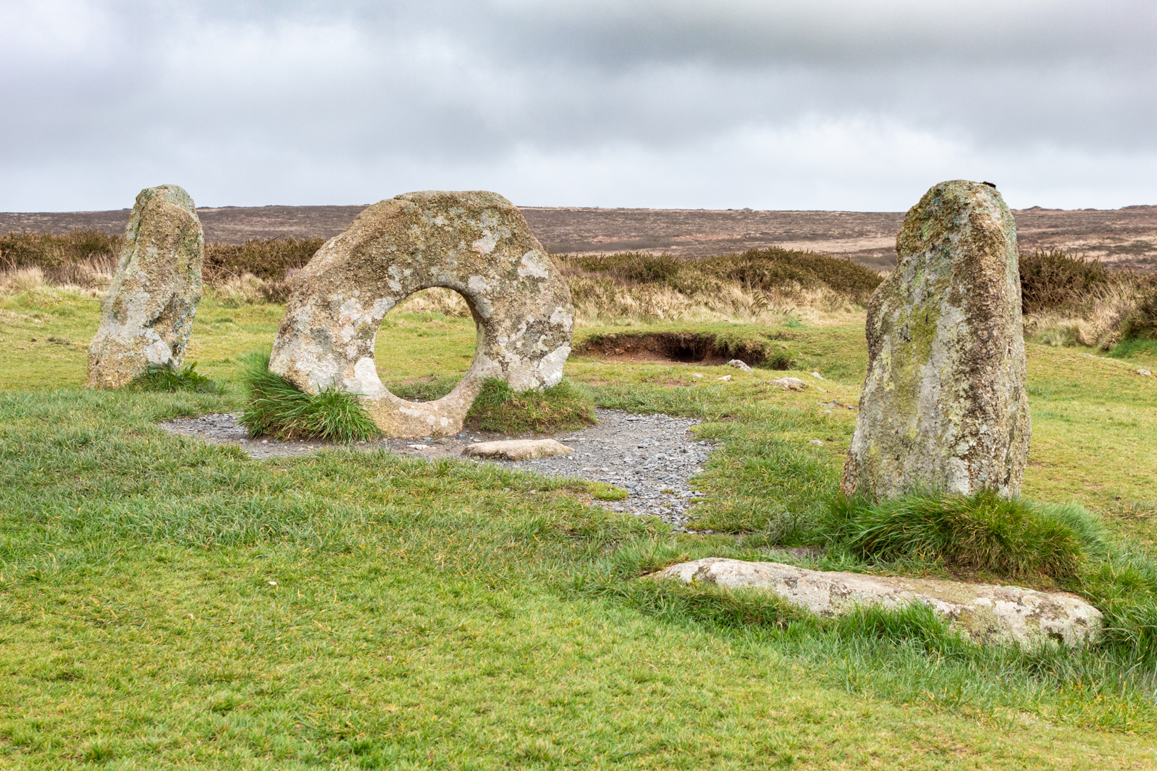
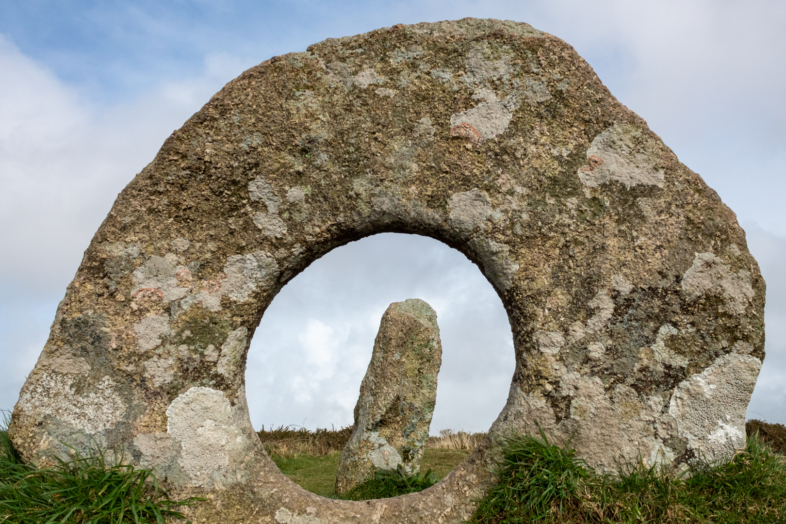
There are many "loose" stones around this site but the Mên-an-Tol consists of three upright stones made from local granite, The two side uprights stand just over a metre high. The round stone is 1.3 metres wide and around 1.1 metres high.

There has been some discussion as to the structure being part of a stone circle but although there are outlying stones there does not seem to be any circle structure to them, of course, the site may have been changed since its "modern discovery".
Also, there have been theories that the holed stone was a capstone from a Dolmen but again I think this is unlikely.


Men An Tol


The first archaeological examination was carried out in 1749. The plan that was drawn seems to suggest that there had been some movement of the stones but in John Tomas Blights account "Ancient crosses and other antiquities in the west of Cornwall" published in 1858 the stones are set exactly as they are today.


Men An Tol Cornwall


It is difficult to know what the structure was used for but there are many stone structures close to this site. Its nearest neighbour is Menscifa (A standing stone with writing on its surface, that will be in a later post.) which is just a few hundred yards away and the Nine Maidens Stone Circle is about a quarter of a mile further over the moor. Also in the distance you can see the more recent structure of the Greenburrow engine house (1919 - 1936).


Men An Tol


As you would expect from a site this well known there is much folklore attributed to the structure.

It is said, If a brass pin was placed on the holed stone, questions could be answered by the movement of the pin.

In his 1932 report, Hugh O'Neil Hanchen was told by local farmers that pain in limbs or back would improve by passing through the hole. This is said to happen because a fairy or piskie (a cornish name for a pixie or elf) can make miraculous cures.
Although I guess the portly figures would not have this available to them given the size of the hole.


Men An Tol Cornwall


Another tells that some Evil piskies put a changling spell on a child which was reversed by the mother passing the infant through the hole breaking the spell.

A very well-known tale was the holed stone was said to cure rickets and children with rickets were passed naked through the hole in the middle stone from three to nine times to provide a cure.

The most popular local legend reports that a woman passing through the hole at a full moon will soon become pregnant.

Whatever the original reason for the structure we will never know but it has been put to many good uses down through the years.


Footer:
Visit Information: -

Google Reference: -
50.158569483211956, -5.604591983491583

What Three Words reference: -
///chitchat.flips.chatters

OS Details: -
SW 42645 34942 Altitude:638 ft

Additional information.
This is a fine site that is easily accessible on the moor.
The road is a turn south off the B3306
There is a parking for around 4 cars close to the path of this site (50.153595163384026, -5.6149119102692655) The pathway is marked and the walk is an easy 1.2KM (15 minutes) from here. Look for a sign on the path by a a stile to cross the field.

A full list of blogs can be found at my website
Read More

Search This Blog

About Me

Bridgend, United Kingdom
A renewed interest in photography and local history.
Contact Me

Name

Email *

Message *

Followers