With a renewed enthusiasm for photography and local history, I set out this blog as a record of my experiences with images and narratives. It is my hope that you find something of interest on this site. Please feel free to contact me for more information on any of the posts. You can see a comprehensive list of my blogs at my website :- http://www.davidnurse.co.uk

The Church of the Holy Cross, Mwnt.

The Church of the Holy Cross (Welsh: Eglwys y Grog)
 in Mwnt, Ceredigion, Wales. 
A parish church and a Grade I listed building, 
likely dating from the 13th century.


Visit Date March 2025


The Church of the Holy Cross, Mwnt.


The Church of the Holy Cross is an example of a medieval sailors' chapel of ease, allowing sailors to attend church without traveling all the way to the village of Mwnt.


The Church of the Holy Cross, Mwnt.
Click on any image to see a larger version


The site is said to have been used since the Age of the Saints (about 410-700 AD).


Mwnt.
The coast at Mwnt


The dedication to the Holy Cross likely references a stone cross that once stood atop Foel y Mwnt, the conical hill directly behind the church.
The cross would also have been visible for many miles out to sea,  attracting pilgrims who drew their boats up on the sandy beach at the base of the cliffs.


The Church of the Holy Cross, Mwnt.
A pilgrims way wall hanging


Mwnt gained a reputation among early Christians as a stopover for the bodies of saints being transported to Bardsey Island for burial. Its location also made it a convenient resting place for pilgrims traveling to St. David's, further down the coast.


The Church of the Holy Cross, Mwnt.
North wall showing blocked lancet


On the north wall, there is a small blocked lancet window that may have permitted lepers—who were not allowed inside churches—to view the high altar during services.


The Church of the Holy Cross, Mwnt.


On the north wall, remnants of a medieval rood stair can be found, and timbers from the 15th-century rood loft, embellished with rose carvings, are set into the wall.


The Church of the Holy Cross, Mwnt.
Click on any image to see a larger version


The interior consists of a single chamber featuring deep-set windows and a unusually designed roof.


The Church of the Holy Cross, Mwnt.
The font


It has an example of a 12th- or 13th-century font made of Preseli stone.


The Church of the Holy Cross, Mwnt.
The coast at Mwnt


In 1155, a group of Flemish soldiers landed at Mwnt but were repelled by the local Welsh after fierce fighting. A nearby stream still bears the name Nant y Fflymon, meaning the Flemings' Brook.


The Church of the Holy Cross, Mwnt.


Over the centuries, many human bones have been unearthed. It is believed that the bodies from the battle were buried in the farmer’s field.


The Church of the Holy Cross, Mwnt.


The victory achieved by the local Welsh inhabitants in the area was commemorated, at least in the 18th century when the events were recorded, through secular games held on the first Sunday in January. These games were referred to as “Coch y Mwnt,” which translates to "the Bloody Sunday of Mount."


The Church of the Holy Cross, Mwnt.


The nearby farm features a well named Ffynnon Grog, known as the well of the cross, along with Nant y Flymon, which translates to Fleming’s brook. 


The Church of the Holy Cross, Mwnt.


Mwnt was a civil parish for several centuries. However, before the 17th century, it served as a detached chapelry of the parish of Llangoedmor. Since 1934, Mwnt has been part of the parish of Y Ferwig, which consists of a parish church and a few houses. This community includes the villages of Penparc, Felinwynt, Tremain, Mwnt, and Gwbert, as well as Cardigan Island and the National Trust area of Mwnt.


Footer:Visit Information: -
Google Reference: -
52.13694896383402, -4.638645221098706

What Three Words reference: -
///echo.dwarf.mission

OS Details: -
OS Grid Ref: SN 19504 52017 

Additional information.

Visiting is easy and there is a car park close to the site (
52.135662647388045, -4.638483304444649) This is run by the national trust and is free for members but charges do apply for non-members.

There were no facilities when I visited in March however there is a cafe (Caban Mwnt) a short walk from the car park  (52.1347209027339, -4.639436590459322).

The roads to the site are well maintained single track country roads with passing points. 

I believe this site can become very busy in the summer with visitors to the beach and surrounding areas. 
.


A full list of blogs can be found at my website


Read More

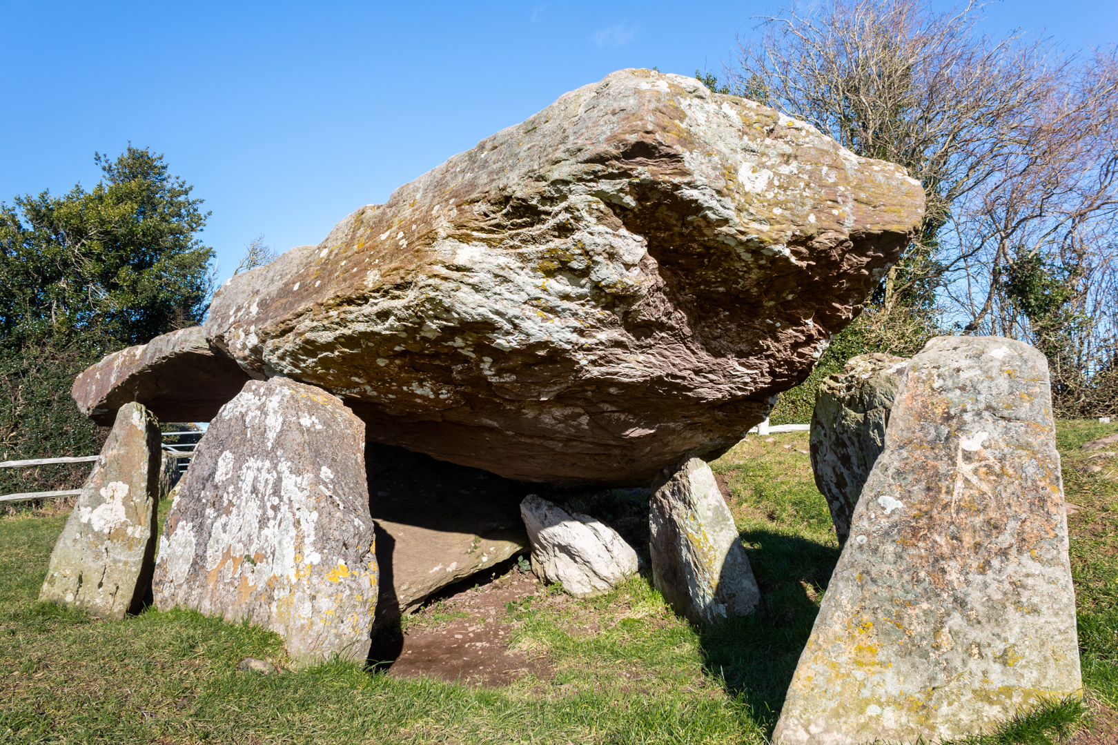
Arthur's Stone

Like many prehistoric monuments in western England and Wales, 

this monument has been linked to King Arthur. 

According to the 13th-century legend, it was here that Arthur slew a giant, 

who left the impression of his elbows on one of the stones as he fell.

Others suggest the indentations were left by Arthur's 

knees or elbows as he knelt there to pray.


Visit Date January 2025


Arthur's Stone, Herefordshire
Arthur's Stone


The tomb dated around 3500 BC is much like many others of this type of structure often referred to as Chromlechs, Quoits or Dolmens and is made up of a large capstone perhaps weighing around 25 tons supported not by the more common 3 or 4 uprights but 9 uprights.


Arthur's Stone, Herefordshire
Click on any image for larger view


The entrance to the tomb is through a curved, 4.6 m (15 ft) long entrance passageway.


Arthur's Stone, Herefordshire
Arthur's Stone


This is not uncommon but seems to deviate from many of these types of tombs which would have a straight entrance-way.


Arthur's Stone, Herefordshire
Click on any image for larger view


The site would have been covered with a great mound of earth which has either been eroded over the centuries or exposed much earlier. Modern investigations had not been carried out on this structure until 2022/2023, when investigations led by the Universities of Manchester and Cardiff were carried out.


Arthur's Stone, Herefordshire
Arthur's Stone


It was found that it is likely the tomb has been altered since the original single burial chamber Dolmen. The original entrance would have been north-facing however it is now thought that the structure was later converted into a long cairn and the entrance to this new structure faced south.
More work may be done to confirm this.


Arthur's Stone, Herefordshire
Arthur's Stone possible original entrance


During these excavations near the long entrance, there was found evidence of a dry stone wall structure. This had been carefully constructed and was thought to have had some symbolic meaning, perhaps the stones were brought as some sort of memorial to the dead.


The curved passageway seems to be part of this later addition.


Arthur's Stone, Herefordshire
Arthur's Stone, Writing


As stated earlier this Neolithic monument known as Arthur’s Stone,  has long been linked to legend and literature however, if King Arthur had been at every location he is associated with he would have to have lived many lives.


Arthur's Stone, Herefordshire
Click on any image for larger view


These Arthurian giant-slaying escapades and the inspiring large Stone capstone or table here at this site is said to have been the inspiration on which the lion Aslan was sacrificed in C S Lewis’ The Chronicles of Narnia. 


The site is now in the care of English Heritage


Footer:Visit Information: -
Google Reference: -
52.08230962757643, -2.9953445186919994

What Three Words reference: -
///bolsters.craters.timer

OS Details: -
OS Grid Ref: SO 31887 43123 

Additional information.

Visiting is easy and is about 11 miles from Hereford along the A438 and B4352 (Pentre lane ) and then 3/4 of a mile along Arther's Stone Lane (this is the only narrow part.
There is parking for 3/4 cars in a lay-by right next to the site. There are no facilities.
I have been told that this site can get busy in the summer months.


A full list of blogs can be found at my website


Read More

Strata Florida Abbey


Strata Florida Abbey (Welsh: Abaty Ystrad Fflur ) 

A former Cistercian abbey 

situated just outside Pontrhydfendigaid, 

near Tregaron in the county of Ceredigion, Wales. 


Visit Date April 2024


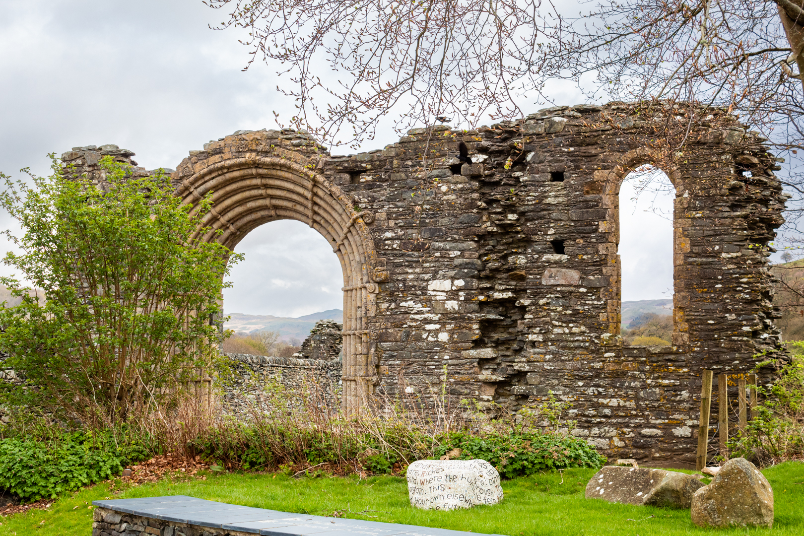
Strata Florida Abbey
The West Front Gateway


Founded in 1164 it was established by white-robed Cistercian monks also known as 'The White Canons' as part of a movement that spread across much of western Europe in the early Middle Ages.

Stata Florida was consecrated in 1201.


Strata Florida Abbey
Click on any image to see enlarged version


The area around St Davids was occupied by the Norman Marcher lordship of Pembroke by the early 12th century, with St Davids firmly under Norman influence after that, the princely Dinefwr family of Deheubarth transferred their patronage to Strata Florida, and interred many of their family members there.


The Nave - Strata Florida Abbey
The Nave


Strata Florida became the most famous church in Wales after St Davids –­ a place of pilgrimage and a linchpin of Welsh culture.


Strata Florida Abbey
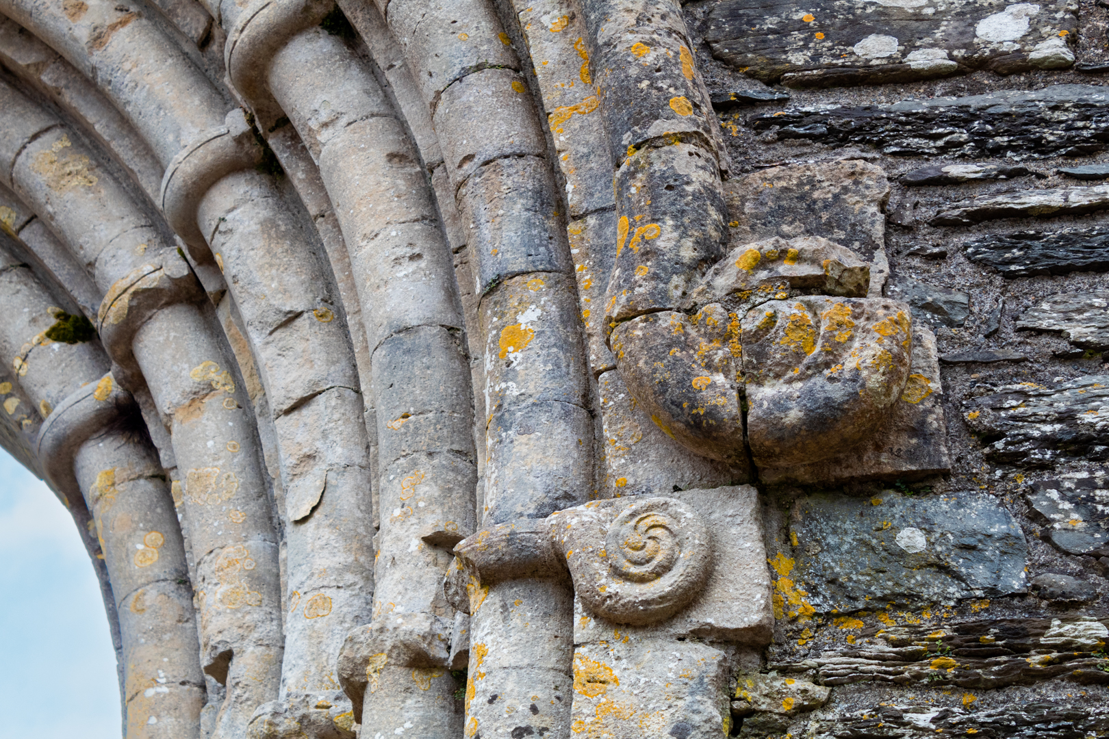
Detailing on the west front


Strata Florida was founded through the patronage of Rhys ap Gruffydd. In 1184, a further charter was issued by Lord Rhys, reaffirming Strata Florida as a monastery under the patronage of Deheubarth, a principality of South Wales.


The Monks Choir - Strata Florida Abbey
The Monks Choir (North Transept in background)


By 1238 Strata Florida had been raised to a powerful religious centre of great importance. At this time Prince Llewellyn ap Iorwerth (Llywelyn the Great 1173-1240) held council here forcing the Welsh leaders to acknowledge his son Dafydd


The South Transept - Strata Florida Abbey
The South Transept


Strata Florida became an important and powerful religious centre. Around 1238, Prince Llywelyn ap Iorwerth held a council at Strata Florida. It was here that he made the other Welsh leaders acknowledge his son Dafydd ap Llywelyn (1212 - 1246) as his rightful successor. 


In 1401, during the early years of Owain Glyndŵr's (Prince of Wales 1400 – 1409) rebellion, the monks were evicted from the monastery by King Henry IV (King of England 1399 - 1430) as they were seen to be sympathetic to Glyndwr. 

Henry then turned the Abbey into a military base.
Under the control of a commander The Earl of Worcester, the abbey held a garrison of several hundred men for the battles against the Welsh Rebels against the English crown.

At the end of the conflicts with Glyndwr, the monks were allowed to return to the abbey.


The Chapter House - Strata Florida Abbey
The Chapter House


As part of the ongoing conflict between Henry VIII and the catholic church in 1539, the abbey was dissolved and the abbey was sold off. 

The site was abandoned and allowed to fall into a ruinous state.

Much later  Stephen Williams, a railway engineer and founder member of the Cambrian Archaeological Association, took interest in the Abby and began excavations of the site and in 1848  the association leased the Abbey site to create better displays and presentations to the public.  


Strata Florida Abbey
Click on any image to enlarge


The present parish church of St. Mary, within the boundaries of the graveyard, may have been built with stone taken from the monastic site.

Some of the descendants of the Lord Rhys have been buried at this Abbey.

Among the buried here are 11 princes of the Welsh royal house of Dinefwr.

Notable burials include Prince Gruffydd ap Rhys II


Strata Florida Abbey
The Presbytery with the plinth marking the high alter


The notable poet Dafydd ap Gwilym is said to be buried under a yew in the churchyard. 

Because of these important burials, Strata Florida has been referred to as ‘the Westminster Abbey of Wales’.


Strata Florida Abbey
Click on any image to enlarge


The site was designated as a Scheduled Ancient Monument in 1919 and is now in the care of Cadw.


Footer:Visit Information: -
Google Reference: -
52.27541915307934, -3.839258866304253

What Three Words reference: -
///bothered.tour.computers

OS Details: -
OS Grid Ref: SN 74624 65701 : Altitude:194 m

Additional information.

Visiting is very easy with good b roads to site with Abbey Road signposted off the b4343 at
Pontrhydfendigaid. Access is currently free and the site has good information boards available.


There is a visitor centre on site but the opening times are varied. It was closed when I visited but I believe there may be a small café and toilets . Don't rely on this being open for your visit.


A full list of blogs can be found at my website

Read More

Flint Castle


Started in 1277 Flint castle is the earliest and most unusual of Wales’ English-built castles

Flint was the first castle to be constructed as part of Edward I campaign

against Llywelyn ap Gruffydd in north Wales.


Visit Date April 2024


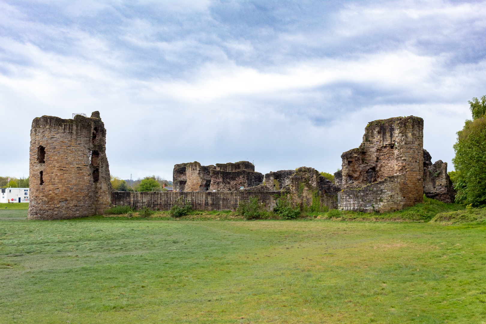
Flint Castle
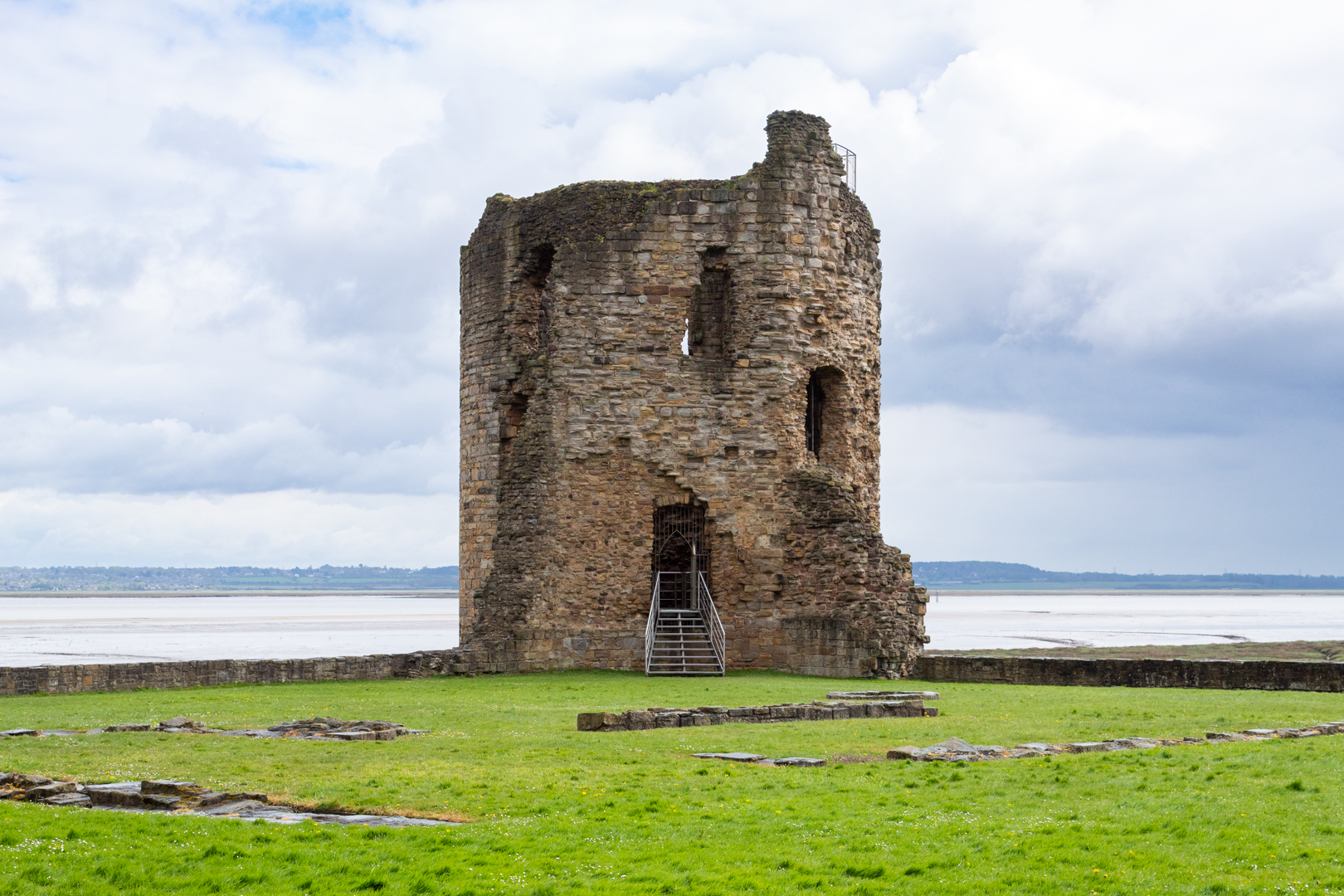
Flint Castle from the river Dee


Edward I (also known as Edward Longshanks was King of England from 1272 to 1307) took great care in choosing the location.  Flint's low-lying position may seem odd for a fortification, but Edward identified the importance of the location which ensured access by sea as well as by land.  


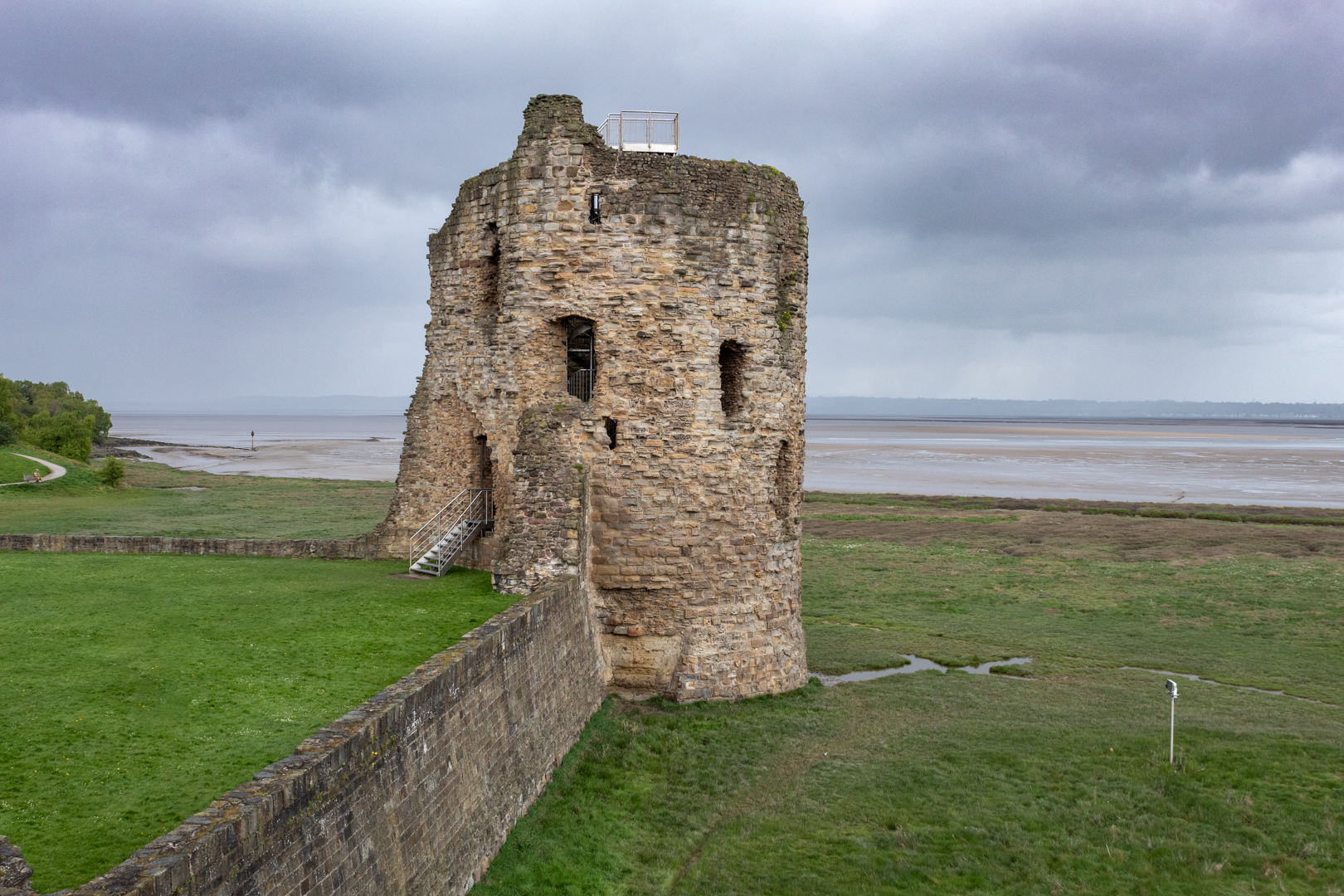
Flint Castle - Northwest Tower
The Northwest Tower


Edward I needed quickly to strengthen his rule in Wales and set about his programme of castle building. Flint was his first and was seen as the gateway to Wales with its position being only a day's march from Chester on the east and a further days march to another planned castle at Rhuddlan in the west.

It started what was to become Edward I's "Iron Ring". A chain of fortresses designed to encircle North Wales and oppress the Welsh.

Speed was important in the building of the castle and indeed also regarding the fortified town. Perhaps this accounts for the simple design of the castle. Workers were brought from England to build the castle and soon the initial workforce of 970 diggers, 300 carpenters and 200 stonemasons, grew to 2300 very quickly. Incentives were given to workers in the bonuses paid, ‘by the King’s gift’ to those workers who excelled, and deductions for those whose work was deemed tardy or substandard.


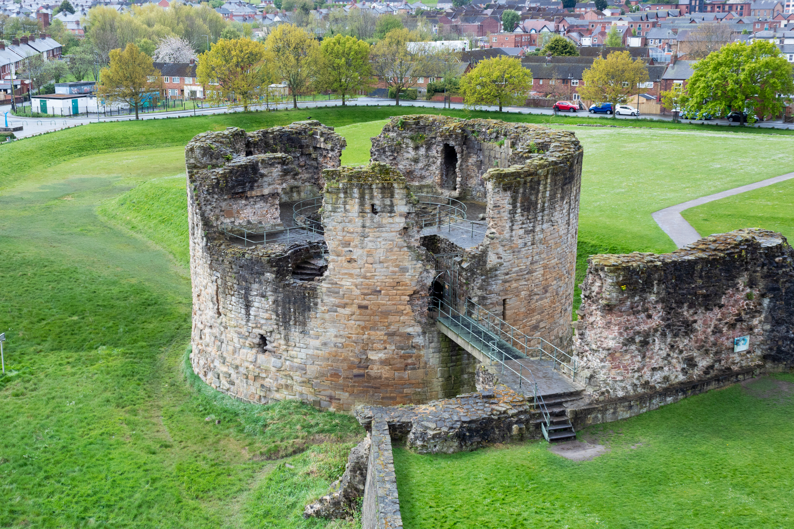
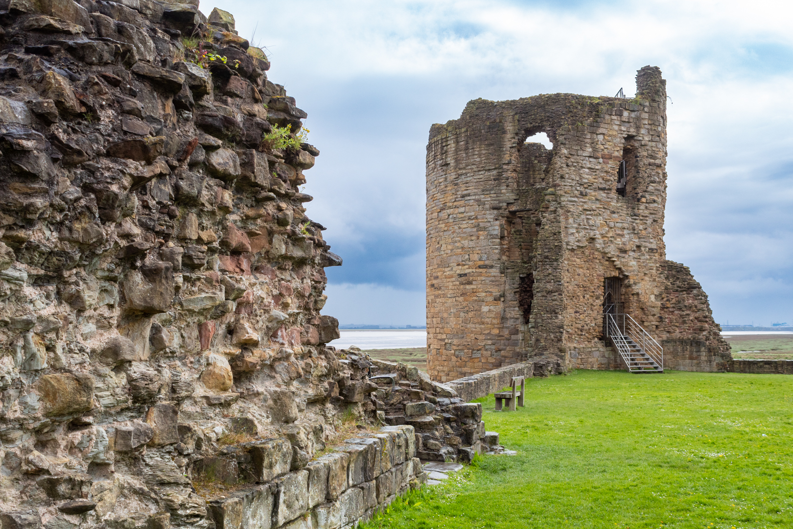
Flint Castle - The Great Tower
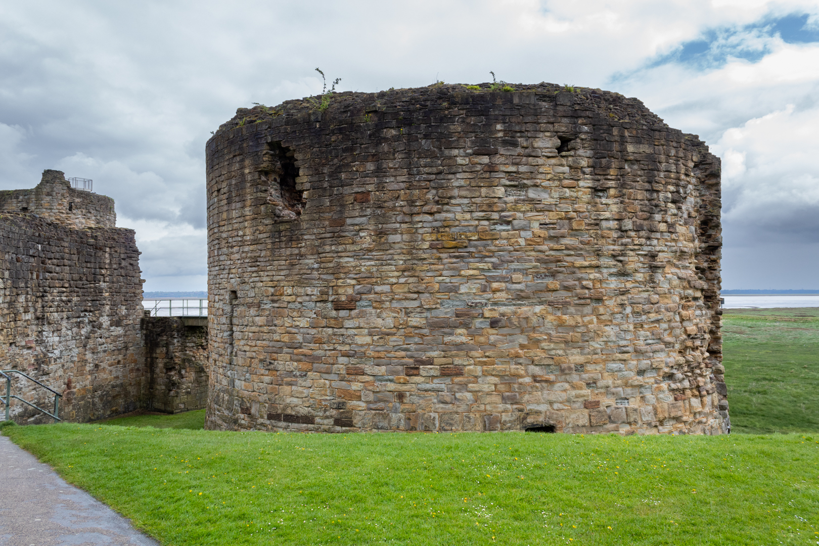
The Great Tower or Donjon


The castle is based on a square plan with a detached keep. The inner bailey has round towers on each side, with one of the towers detached and this being the most striking Great Tower or Donjon.

This design was new for Britain at the time however influences can be seen based on Savoyard models used in France and Edward likely saw this design during his 1270 route to the Crusades or perhaps just as likely his master mason James of Saint George would have been influenced by Jean Mesot when they worked together in Savoy, France.


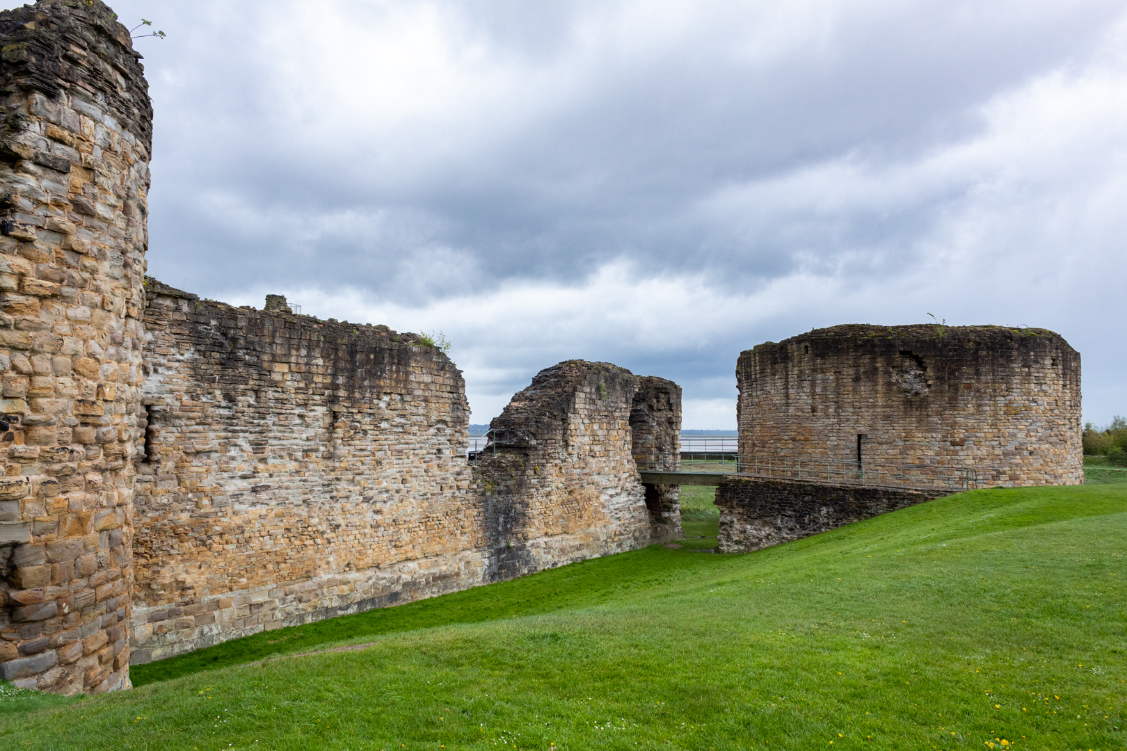
Flint Castle
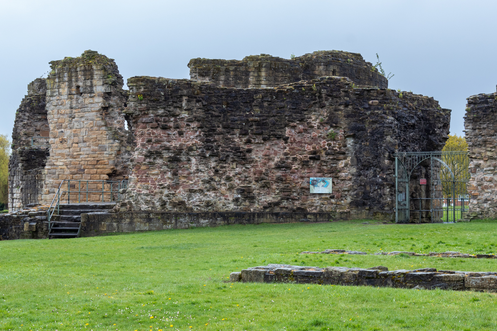
Entrance to inner bailey from outer bailey


The outer bailey, most of which is now gone would have been the main entrance into the castle complex. The entrance into the main inner bailey area would have been over a large wooden drawbridge with a portcullis.

Much of this is gone now with the modern-day entrance being insignificant compared to the large, impressive structure it once was.


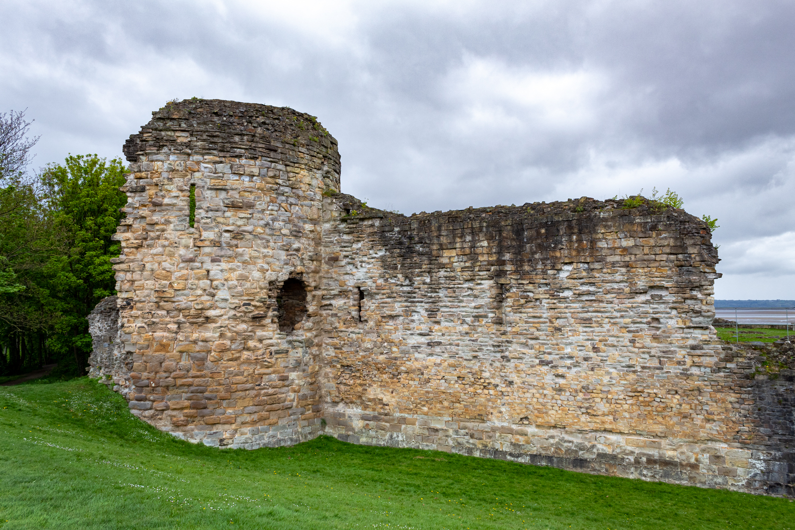
Flint Castle - Southwest Tower
The Southwest Tower (Ditch filled in)


The ditch that it would have spanned would have been 20 feet deep and it would have been part of the moat defence for this part of the castle. It is important to note that it would also have been tidal with the river Dee completely isolating the inner bailey at high tide.


Flint Castle - Inner Ward
Inner Courtyard


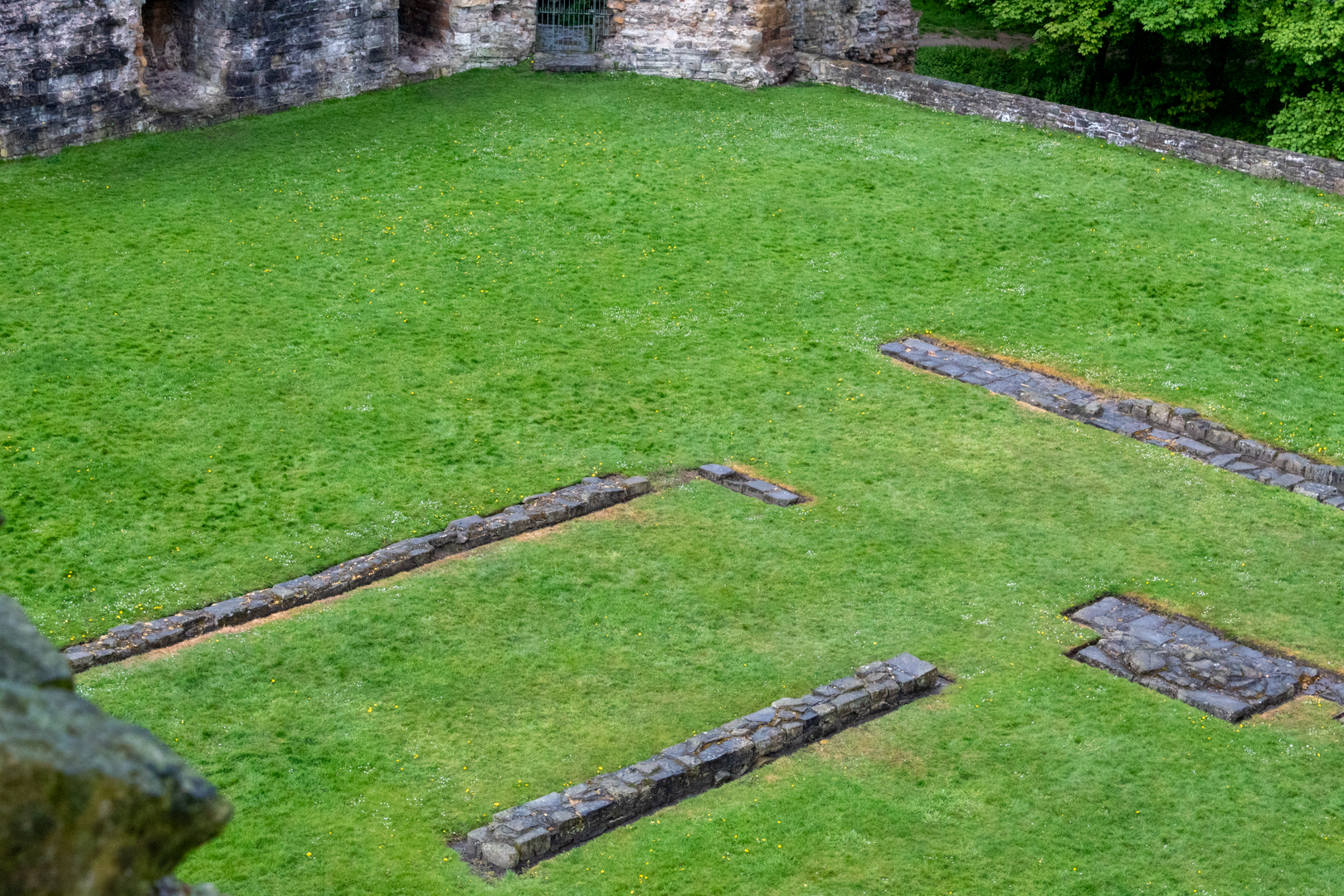
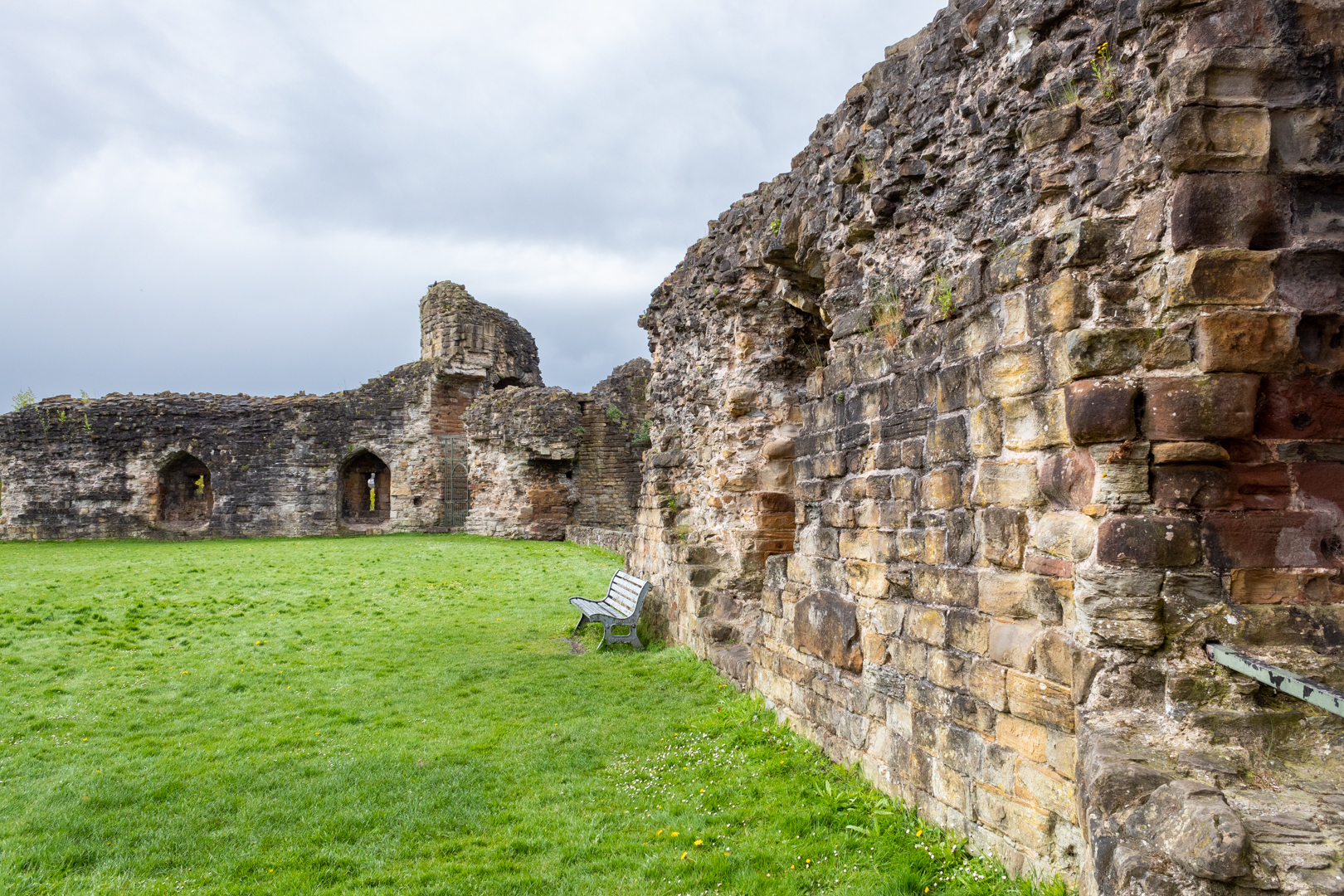
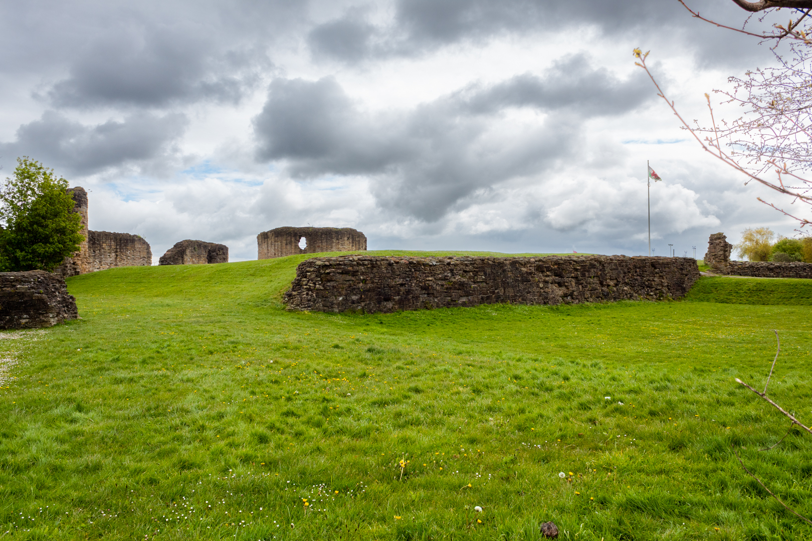
Not much is left of the inner courtyard structures, the outlines of which can be seen along with the inner wall.


Flint Castle - Inner Ward
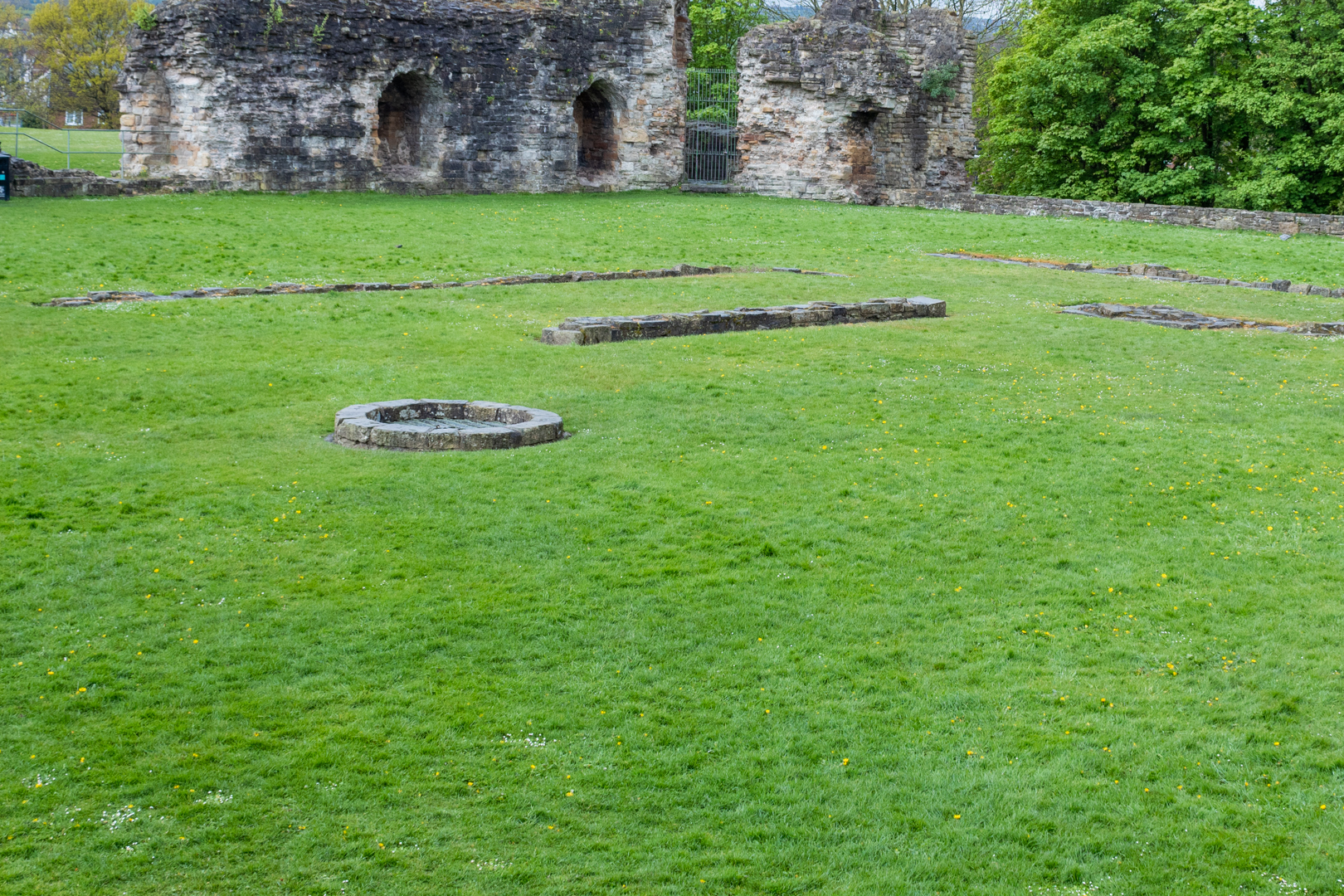
Inner showing location of well.


The main work buildings would have been here along with the inner bailey well.

The Great Tower, which was the main keep, would have also needed to be accessed by another wooden bridge from the inner bailey.


Flint Castle - The Donjon
The Great Tower or Donjon


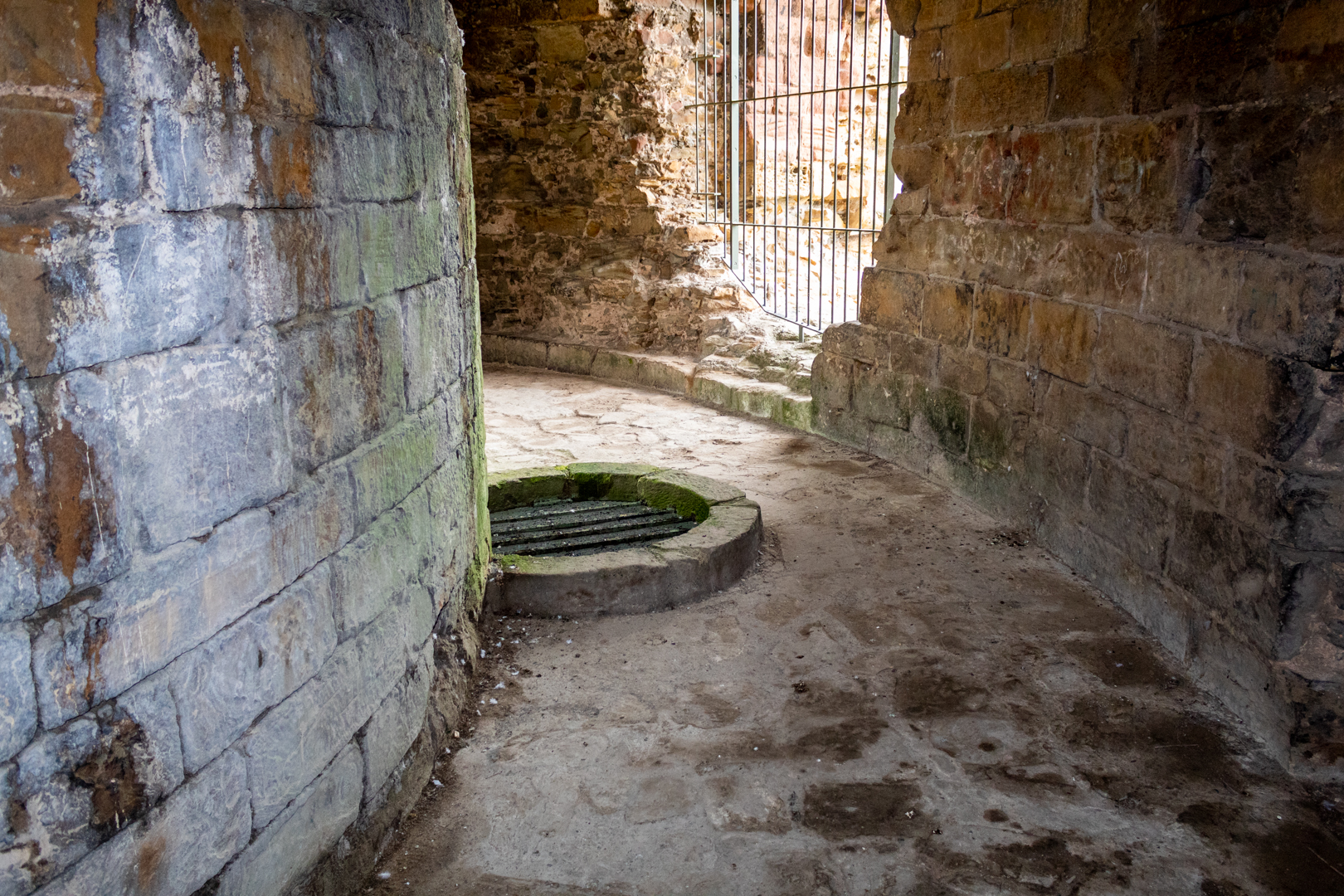
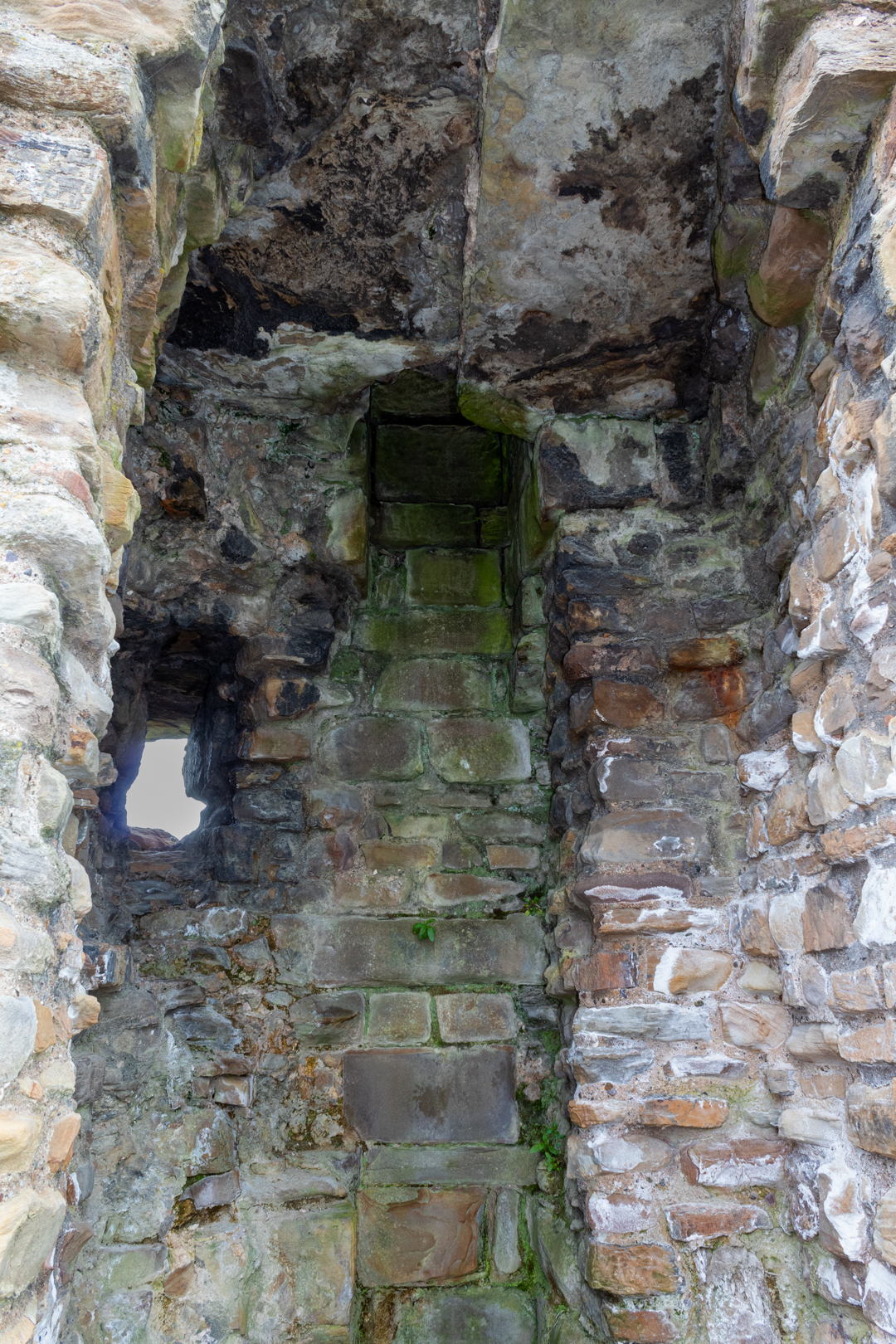
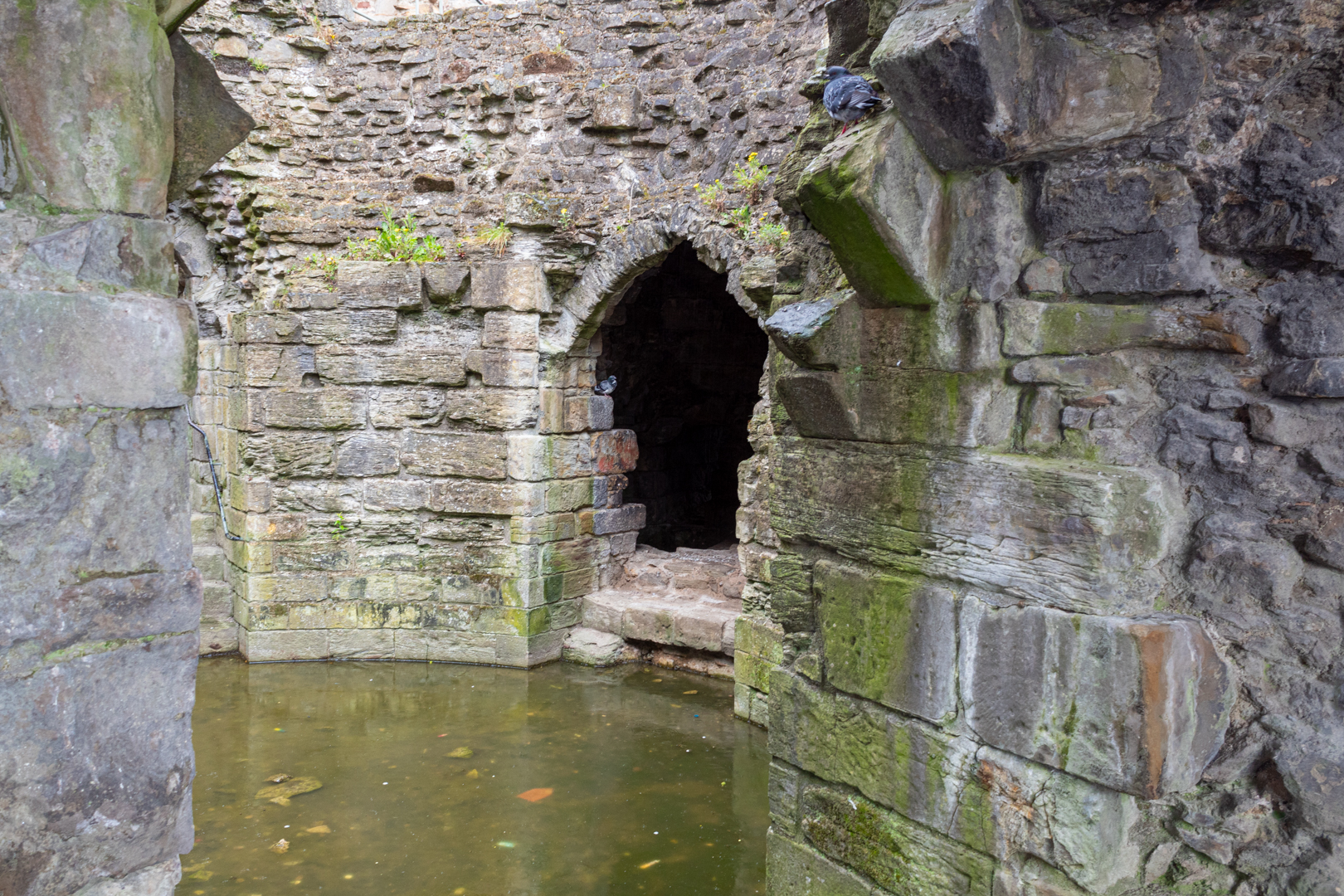
The walls were 5 metres thick and at the base would have been even thicker and there was an additional well in base of the tower.


Flint Castle - The Donjon - Inner Well
Inner well of the Great Tower


Vertical channels in the walls with chutes to the moat were used to clear latrines from the upper floors.


Flint Castle - Latrine Chutes
Vertical latrine chutes of the Great Tower


This part of the structure would also have included a chapel.

The remaining three towers were connected by the fortification walls.


Flint Castle - Southwest Tower
The Southwest Tower


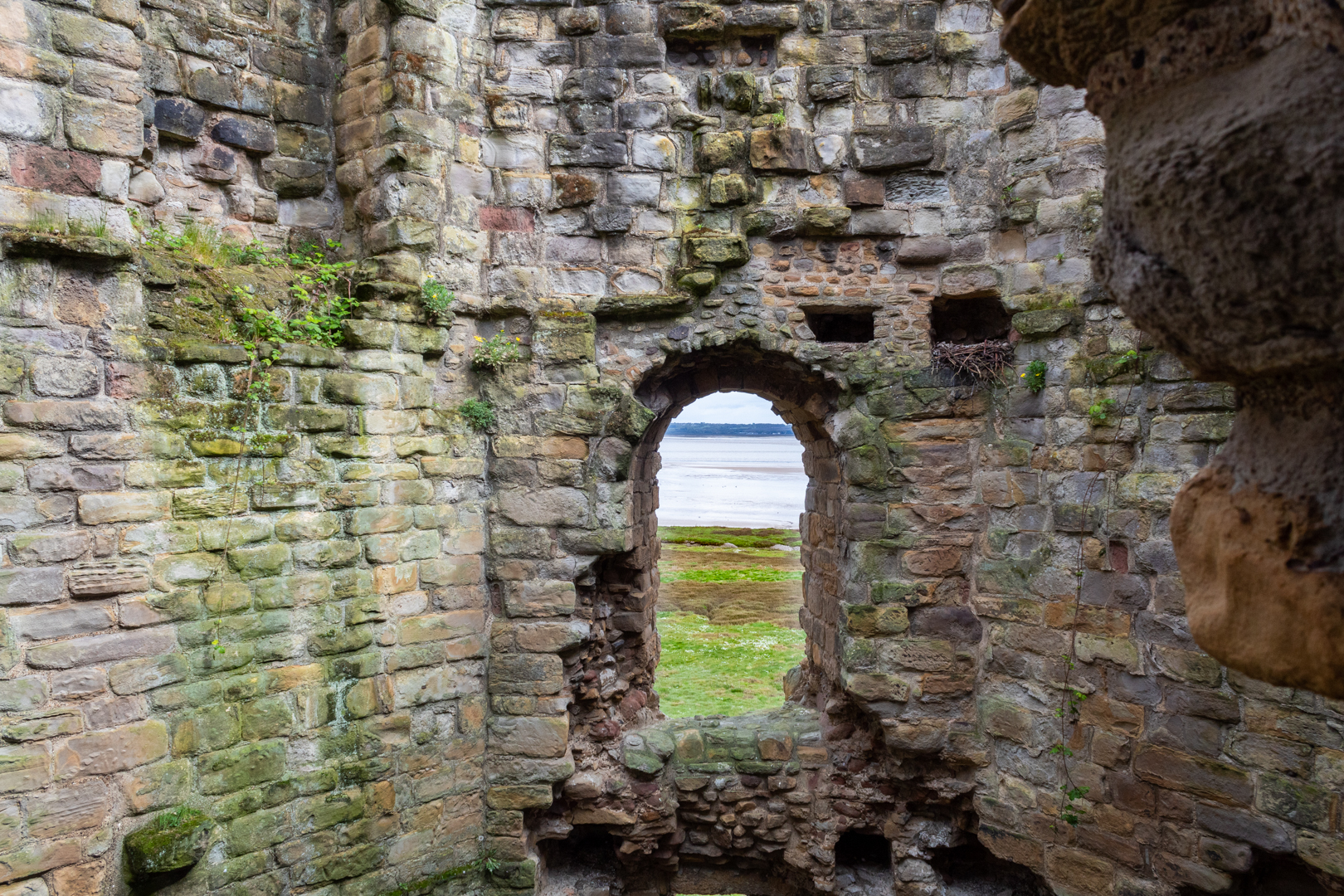
These towers would have stood in addition to the wall fortifications which would have had arrow-slit holes in them unfortunately this has now all gone and the low remains of the base of the wall are all that is left to see.


Flint Castle
Inner walls


These towers would have had living accommodations above with combat levels with more arrow slits in the walls.


Flint Castle
Inner Walls


Flint Castle's defining moment in history came on Palm Sunday, 1282 when Dafydd ap Gruffudd ( Prince of Wales from 11 December 1282 until his execution on 3 October 1283) launched a surprise attack. Dafydd's rebellion forced his brother, Llewelyn ap Gruffudd ( prince of Gwynedd, and later was recognised as the prince of Wales  from 1258 until his death at Cilmeri in 1282), to join him against the English. The Welsh rising was easily suppressed, Llewelyn, perhaps the only man capable of dealing with the English threat, was killed later that year.


Flint Castle
Fortification wall leading to the N/W Tower


Then in 1294, Flint was attacked again during the revolt of Madog ap Llywelyn (leader of the Welsh revolt of 1294–95 against English rule). This time the commander of the castle, William de la Leye, was forced to set fire to much of the town to prevent it from being captured by the Welsh. The castle remained unconquered, and after the attack the town was soon rebuilt.


Flint Castle - NW Tower
The N/W Tower


Flint Castle is also famous as the location of a fateful meeting in 1399 between Richard II and his rival to the crown Henry Bolingbroke (later Henry IV), an event immortalised in Shakespeare’s Richard II.


It was at Flint that Richard attended chapel and then climbed the great tower walls to view the arrival of Bolingbroke. Here Richard agreed to abdicate


Flint Castle
Wall leading to the S/W Tower

The castle once again confirmed its military value during the Welsh rebellion of Owain Glyndŵr (the last native-born Welshman to claim the title Prince of Wales). The invasion of 1403 destroyed only the town, while the stronghold remained unconquered until the uprising fell in 1408.

During the time of the English Civil War, Flint castle was occupied by Royalist forces, then in the years 1643-1645, it changed hands twice. Eventually, following a three-month siege, it was captured by the armies of Parliament led by General Mytton in 1647.

To prevent its re-use, the castle was destroyed on Oliver Cromwell’s order.


Flint Castle
The uncovered entrance to the inner bailey with the great tower in the distance


In 1784-85, parts of the castle were dismantled to make way for the construction of the county jail within the outer ward - a continuation of the castle’s traditional role within the county town. Later photographs of the jail show the approach to the building over what would have been the drawbridge to the gatehouse of the outer bailey, now mettled and flanked by a low stone wall. The jail was closed in around 1880 and became the headquarters for the 5th Battalion of the Royal Welch Fusiliers. The building was closed in 1969 and demolished in 1970, leaving no trace of its existence.


Flint Castle
View southwards of the Great Tower


The castle was transferred to Cadw in the 1980s.

(Cadw is the historic environment service of the Welsh Government and part of the Tourism and Culture group. Cadw works to protect historic buildings and structures, landscapes and heritage sites)


Footer:Visit Information: -
Google Reference: -
53.25173938647722, -3.129849610279812

What Three Words reference: -
///embraced.buzzer.glorified

OS Details: -
OS Grid Ref:SJ 24706 73343

Additional information.

Visiting is very easy with the site well signposted off the A458 in the town of Flint, North Wales, with a large car park (53.25189984860036, -3.1311048763469933) which is free.
Access is currently free and the site has good information boards available.


There are no facilities on site but the town of Flint has all the amenities you would expect.


A full list of blogs can be found at my website


Read More

Search This Blog

About Me

Bridgend, United Kingdom
A renewed interest in photography and local history.

Contact Me

Name

Email *

Message *

Followers