___________________________________________________________________________________
C u l v e r H o l e
Legends and tales of smugglers and pirates.
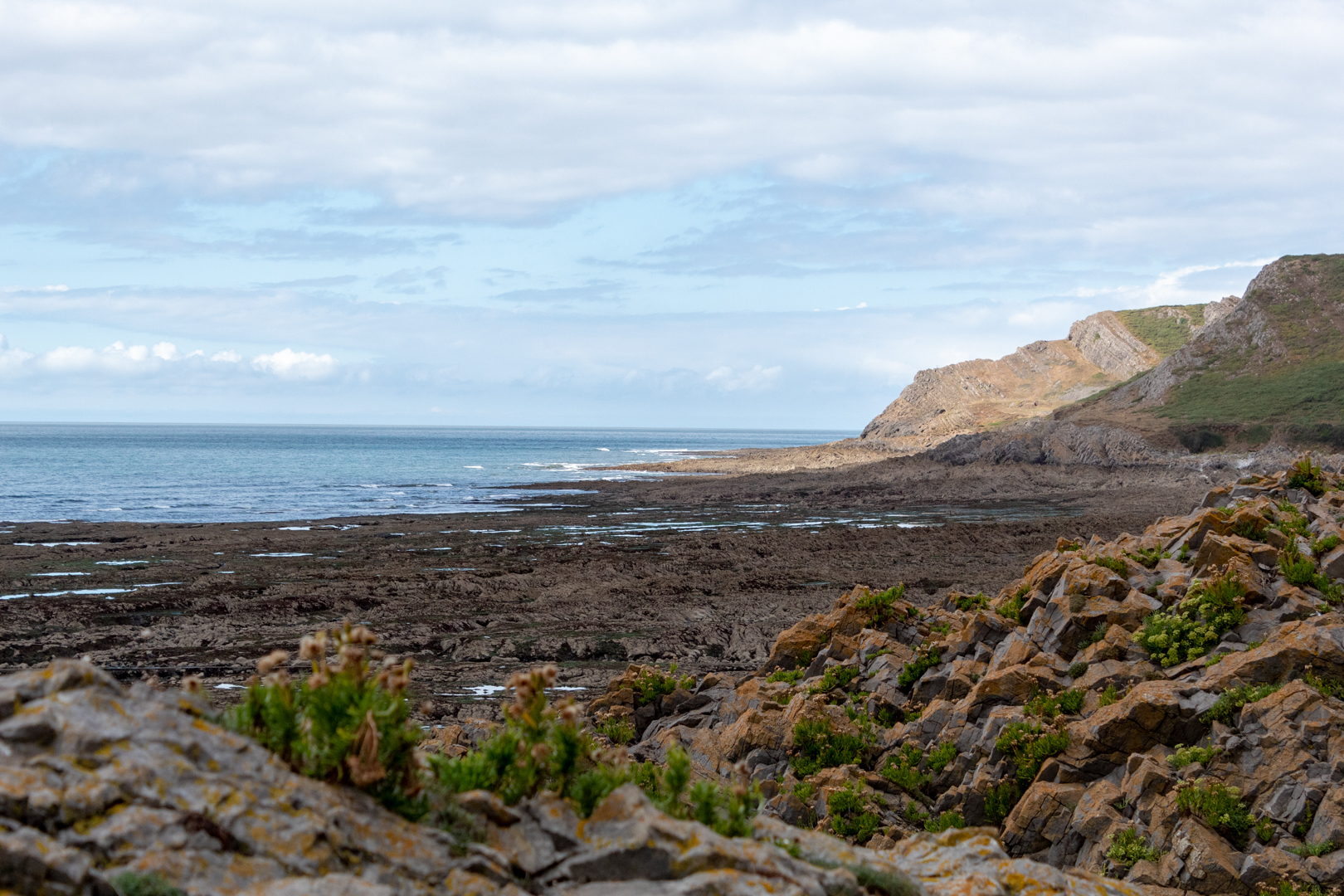
The rugged coast of South Wales has seen many shipwrecks and is well was well known for its rough and dangerous coastlines. What better place than these unwelcoming bays to try and bring booty and contraband ashore away from the H. M Customs men? This well-hidden man-made structure is surrounded by the mystery and legends of ancient pirates and smugglers that came ashore on the South Wales coast.
Visit Date August 2022
___________________________________________________________________________________
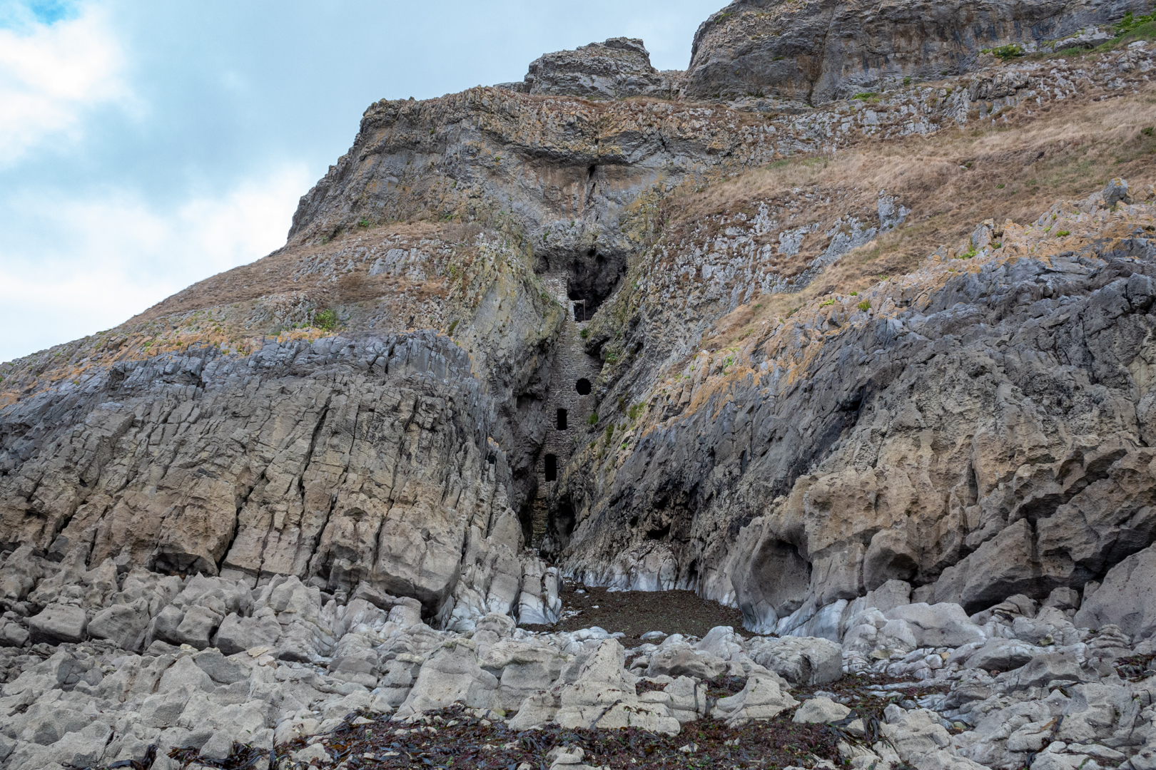
"Culver Hole" is well hidden and difficult to access so it is understandable that it is easy to pass by and not notice it from the cliffs above.
It is accessible by the low tide and it is quite a distance down the cliff to get to it. Or perhaps possible along the beach from the small port of "Port Eynon", easier, of course, if you are on a small boat.
Given its location, it is perhaps unsurprising that so many tales and legends of smugglers are related to it.
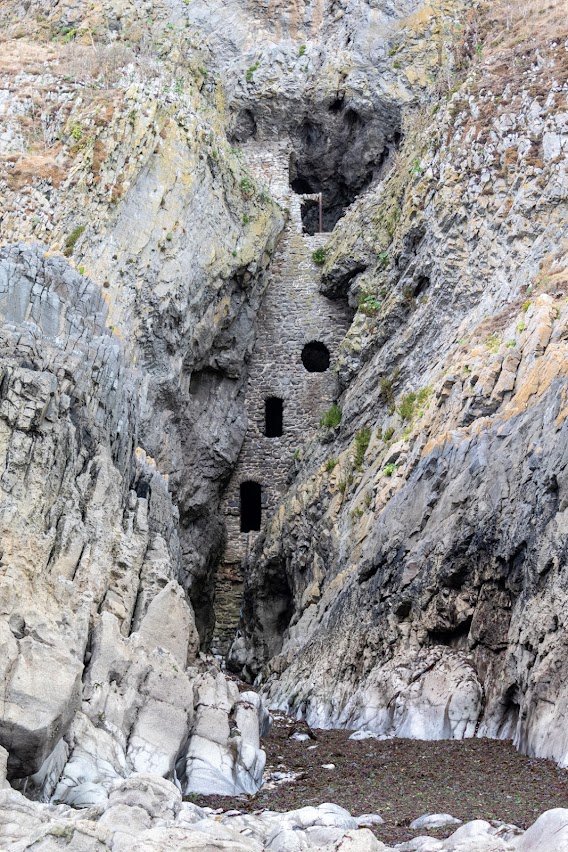
The structure of the site settled in its small cove which is only around 4 meters wide consists of a 16m high wall which is 3.6meters thick at the base.
One such legend states that it was used by a powerful local brigand, John Lucas who used it as a storehouse for his ill-gotten gains. There is also a tale that there was a tunnel, big enough to ride a horse through, for over a quarter of a mile to a local "Salthouse" (more on that in another blog).
While it might be true that "Culver Hole" was used in the 17th Century by these dangerous and ruthless men the original use of the structure is more mundane.
The structure, built in the 13th or 14th century is listed as a Dovecot on Coflein (a catalogue of archaeology sites, buildings and monuments in Wales) and that is most likely what this structure is.
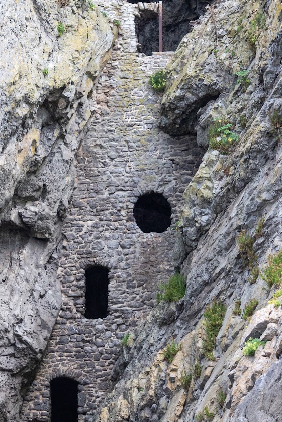
Internally it has around 30 tiers of nesting boxes cut into the walls and a narrow stairwell.
It might seem very strange for a dovecot to be placed here and so it is but in the times when this was built doves, pigeons, and their eggs were an important source of food.
The name also would support this as the name Culver derives from the old English word Culfre which means pigeon.
Even given all this, there are still some oddities about this structure. Firstly it seems strange that the holes are so big. Normally you would have a door on a dovecote but the windows are very large for a dovecote, also the location of a beach seems strange.
There are some historical mentions of the site.
There is some thought that it may have been attached to a castle at some time and there are records of "The Castle of Port Eynon" being mentioned in a lawsuit in 1396. but there is no evidence of a castle on this site.
There is a minister's account dated 1429 of a dovecote in the clyve at Penard,
Also, the aforementioned John Lucas is found in a document that states he is said to have repaired a stronghold called Kulvered Hall.
Whatever the uses of the "Culver Hole" it must have seemed a very bleak place in a winter storm, however, there can be no denying that its location on a good day is breathtaking.
Thank you for visiting this blog.
Footer:
Visit Information:-
Google Reference
51.5392344199753, -4.214123775586852
What Three Words reference : ///comments.youths.months
Culver Hole can be visited but must be done so with great care and at low tide.
About a quarter of a mile from here there is a large public car park (51.54431040120058, -4.2118757381346805) which is adjacent to a caravan and camping holiday site. There is also public toilets and a café, shop and take away.
You can walk from the car park alongside the camp site until you reach the Youth Hostal. The path then takes you right and up the side of the hill but a better course is to walk on to the "Salt House". From here you can look up to the hill and see the marker stone in the last image. If you take the footpath up to this and then go along the cliff for a few hundred yards until you see a stone coast path marker. The path is just opposite this but is narrow and steep. The last few yards are difficult as you will be climbing down the rocks at the bottom. It is passable with care.


