With a renewed enthusiasm for photography and local history, I set out this blog as a record of my experiences with images and narratives. It is my hope that you find something of interest on this site. Please feel free to contact me for more information on any of the posts. You can see a comprehensive list of my blogs at my website :- http://www.davidnurse.co.uk

Kilgetty Ironworks


Also known as Stepaside Ironworks, Saundersfoot, Pembrokeshire

Like many ironworks in Wales, the works at Kilgetty 

did not provide much iron during its 

intermittent operational years.


Visit Date October 2023
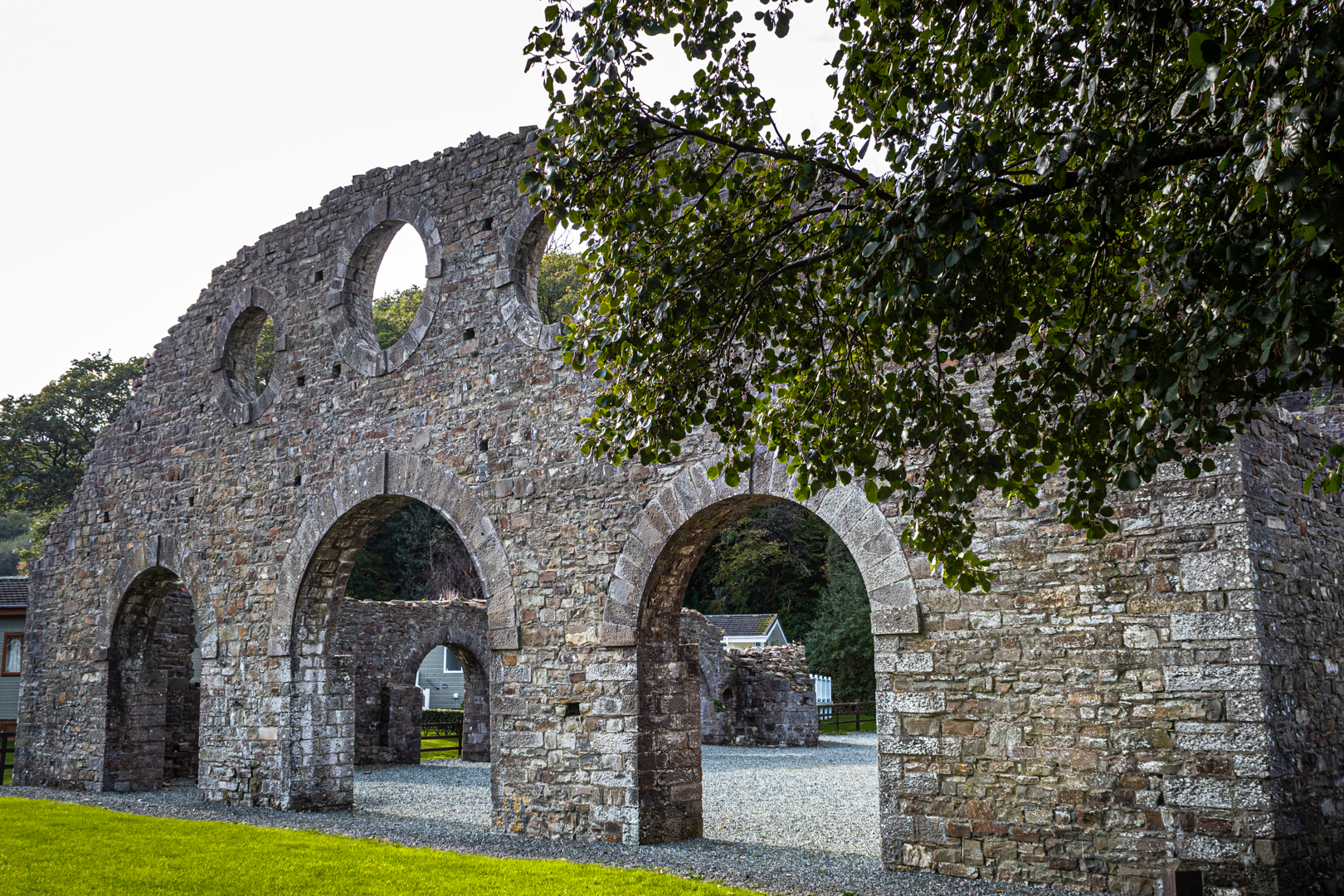


Kilgetty Ironworks
Iconic image of Kilgetty Ironworks


Following the successful introduction of anthracite smelting at Ynyscedwyn in 1836, Kilgetty Ironworks were established in 1848-49 by Charles Ranken Vickermann, a London solicitor, to exploit the local anthracite coal and haematite deposits.


The Cast House @ Kilgetty Ironworks
The Cast House.


The ore was obtained largely from levels driven in the cliffs between Saundersfoot and Amroth and transported by the branch line of the Saundersfoot Railway.


The Engine Houses @ Kilgetty Ironworks
The Blowing and winding engine houses


Known then by the name Pembrokeshire Iron and Coal Company by 1853 the works were at a standstill.
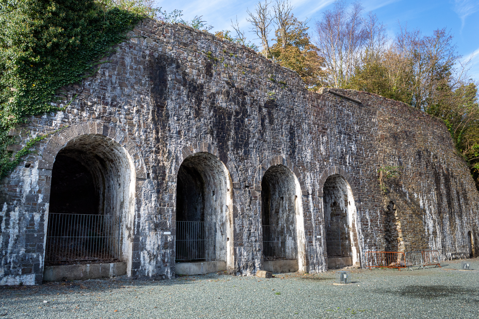


The Furnace Walls @ Kilgetty Ironworks
The Furnace Wall


In 1853 Grove Colliery was sunk just above the ironworks to provide fuel (This will be added in a further post), however production of both coal and iron was intermittent until 1859.


The Kilns @ Kilgetty Ironworks
Kilns


The site's fortunes continued to be bleak and by 1862 the works were again at a standstill.


The Coke Ovens @ Kilgetty Ironworks
The Coke Ovens


Revived once again in 1863 five further years of poor production resulted in the complex being sold in 1873 to Bonville's Court Coal and Iron Company.


The Coke Ovens @ Kilgetty Ironworks
Internal detail of Coke Ovens


In its final stage, the Iron Works consisted of 2 blast furnaces, blowing engines, coke ovens, workshops and lime kilns, however, no pig iron was produced after 1874 and work ceased in 1877.


Kilgetty Ironworks
Calcining Kilns


The property and plant were auctioned in 1878. Vickermann was the successful (in fact the only) bidder.


Kilgetty Ironworks
Remains of the Smithy


The works were dismantled in 1887-89. The chimney stack above the furnaces was eventually demolished in 1909.


Additional information: Also known as Stepaside Ironworks. Stepaside is a small holiday village and Information signs at Stepaside state that Stepaside got its name when Oliver Cromwell and his army passed through on their way to Pembroke. Cromwell is reported to have asked people in his way to step aside.


Footer:
Visit Information: -

Google Reference: -
51.73398913017965, -4.693719186700272

Google Search term:
Kilgetty Ironworks

What Three Words reference: -
///broth.polka.verge

OS Details: -
SN 14087 07355 Altitude:14 m

Additional information.

There is parking here for a a dozen cars or so and the place is easy to visit.
The site is now alongside a Holiday Park

Off the A477 the turning marked for Stepaside, Wisemans bridge and Amroth. Then follow the brown heritage signs for the ironworks.

There are no facilities at the site.


A full list of blogs can be found at my website


Read More

St Bridget’s Church


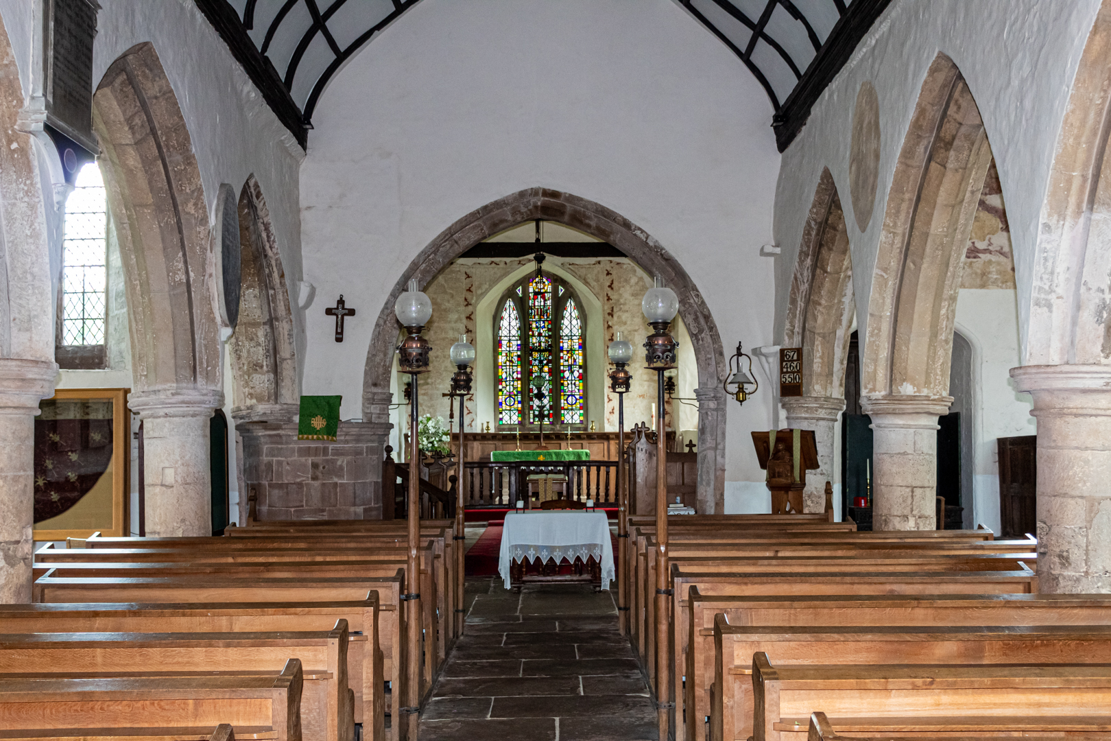
St Bridget's Church, Skenfrith was consecrated in 1207 and is
one of the oldest churches in continuous use in Wales.


Visit Date August 2023


St Bridget’s Church


The exterior of the church is a delight, with a massively buttressed, squat square tower built of red sandstone.

The tower is topped by a dovecote belfry and a pyramidal roof.


St. Bridget's Church


It has been restored on at least two occasions the first in 1896 and then again in 1910


St. Bridget's Church


The church is medieval in origin, with the earliest parts believed to date from the reign of King John (1166–1216). It has been extended firstly in the fourteenth and once again in the sixteenth century.


Tomb of John Morgan St. Bridget's Church


The interior contains the chest tomb of John Morgan, who died in 1557, who was a Member of Parliament for the Monmouth Boroughs, Steward of the Duchy of Lancaster and last Governor of the Three Castles, of Skenfrith, Grosmont and White Castle.


The Font St. Bridget's Church


The font is inscribed on its east side with the date 1661 but this date is of the re-erection but is much older than this.
The font can be locked this was to prevent the common practice in days gone by of stealing the water and used in casting spells.


The Lectern. St. Bridget's Church


The lectern was commissioned in 1909 and is by the Arts and Crafts designer, George Jack, and incorporates a figure of St Bridget.


Footer:
Visit Information: -

Google Reference: -
51.87906878835942, -2.7913557263133586

Google Search term:

St Bridget's Church, Skenfrith
What Three Words reference: -
///parked.sporting.help

OS Details: -
SO 45606 20341 : Altitude:141 ft

Additional information.

There is parking here (51.87809680428079, -2.790591909573205) for a a dozen cars or so and the place is easy to visit.

Off the B4347 from Monmouth and on to the B4521 takes you to Skenfrith.

There are no facilities at the site.

The site is popular in the summer months with locals sunbathing and swimming in the river.


A full list of blogs can be found at my website


Read More

Skenfrith Castle


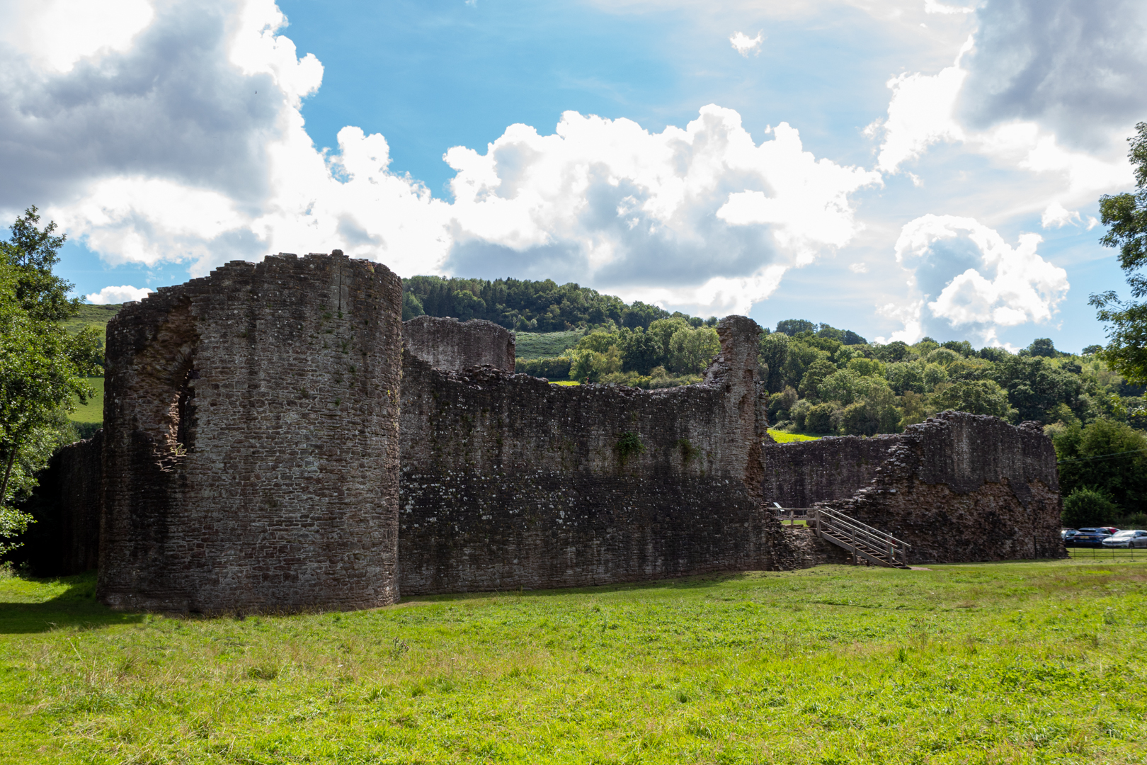
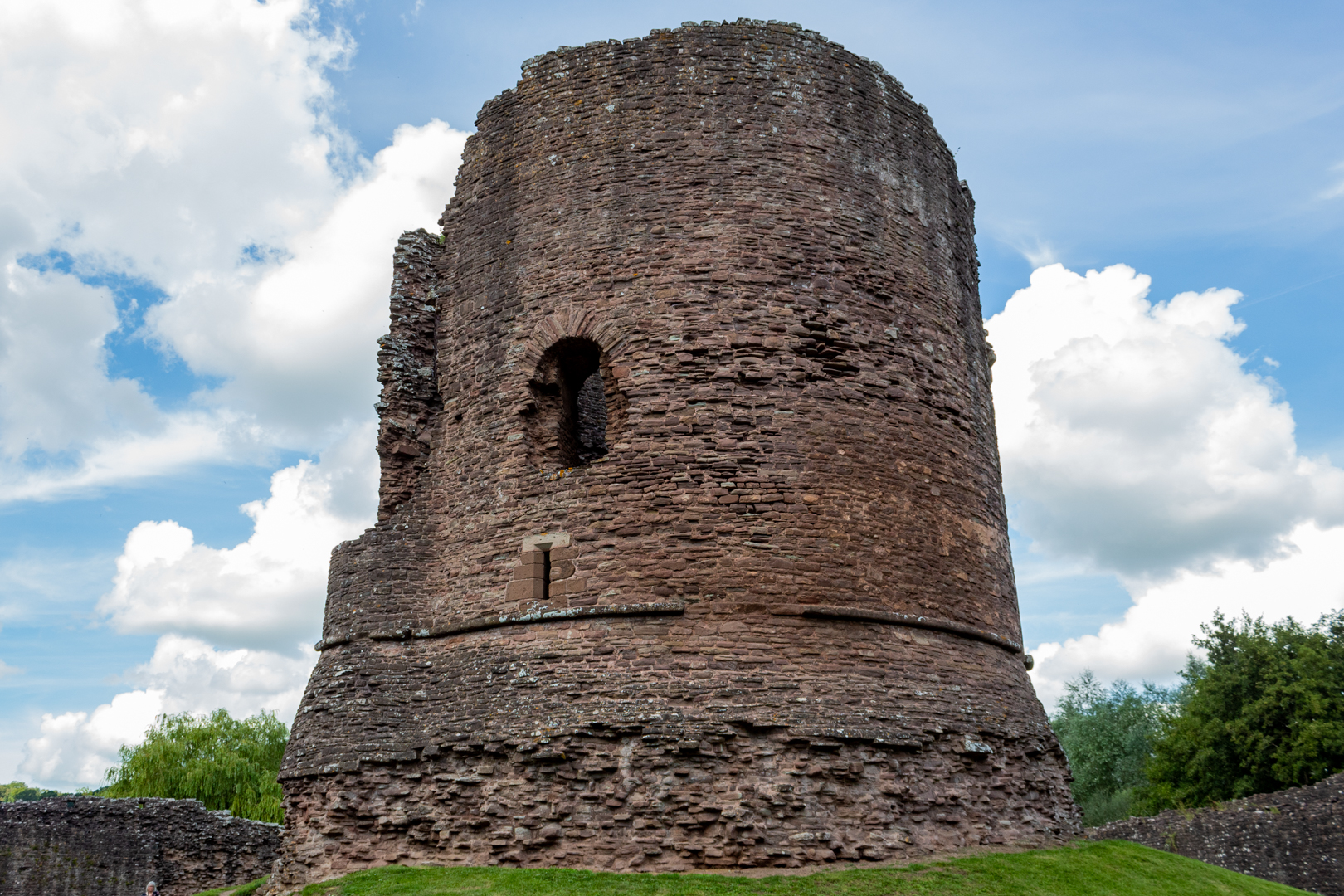
Skenfrith Castle (Welsh: Castell Ynysgynwraidd) is an 
ancient medieval fortress with a substantial central tower.


Visit Date August 2023


Skenfrith Castle


Commissioned by William Fitz Osbern, the Earl of Hereford, in the early 12th century the castle comprised earthworks with timber defences.

What is left of the remains is the later constructed fortress by Hubert de Burge in the 13th century.


Skenfrith Castle


Built on an earthen mound this structure was one of the ‘Three Castles of Gwent’ (along with Grosmont and White Castle)


Skenfrith Castle


Controlling a large area of Gwent the three castles guarded the border country between The river Wye and the Black Mountains with Skenfrith Castle overlooking one of the main routes between England and Wales on the banks of the river Monnow.


Skenfrith Castle


In 1135, a major Welsh revolt took place and in response, King Stephen brought together Skenfrith Castle and its sister fortifications of Grosmont and White Castle to form a lordship known as the "Three Castles", which continued to play a role in defending the region from Welsh attack for several centuries.


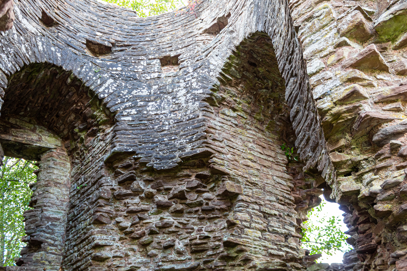
Skenfrith was rebuilt in stone. In 1201, King John gave the castle to a powerful royal official, Hubert de Burgh (Earl of Kent) who destroyed the old castle and rebuilt the rectangular outer walls with the round keep and towers we can see today.


Skenfrith Castle


Hubert fell from power in 1232 and was stripped of the castles, which were placed under the command of Walerund Teutonicus

Walerund built a new chapel at the castle in 1244 and repaired the keep's roof


Skenfrith Castle


In 1267 the Castle along with the other two castles were granted to Edmund, the Earl of Lancaster


Skenfrith Castle


King Edward I' (20 November 1272 – 7 July 1307). In his conquest of Wales in 1282 removed much of the castle's military utility and saw the demise of the importance of the castle and by 1538, it had fallen into disuse and ruin.

In 1825, the Three Castles were sold off to Henry Somerset, the Duke of Beaufort. Skenfrith was eventually acquired by the lawyer Harold Sands, who carried out some conservation of the site; he went on to give the castle to the National Trust. Skenfrith was placed into the care of the state in 1936,


Skenfrith Castle


Skenfirth Castle is managed by Cadw
(Cadw is the historic environment service of the Welsh Government and part of the Tourism and Culture group. Cadw works to protect historic buildings and structures, landscapes and heritage sites) 


A visit to the castle would be enhanced by seeking out a disused mill on the south-eastern side of the castle. Much later than the castle of course dated 1867 at the 1st-floor level of the SW side; the mill continued to function until 1990 although by that time the mill had been converted to electric power.


Skenfrith Corn Mill

Skenfrith Corn Mill


Footer:
Visit Information: -

Google Reference: -
51.878293893054106, -2.790379413287163

Google Search term:
Skenfrith Castle

What Three Words reference: -
///parked.sporting.help

OS Details: -
SO 45697 20264 : Altitude:141 ft

Additional information.

There is parking here (51.87809680428079, -2.790591909573205) for a a dozen cars or so and the place is easy to visit.

Off the B4347 from Monmouth and on to the B4521 takes you to Skenfrith.

There are no facilities at the site.

The site is popular in the summer months with locals sunbathing and swimming in the river.


A full list of blogs can be found at my website


Read More

Bridgend Roots Festival


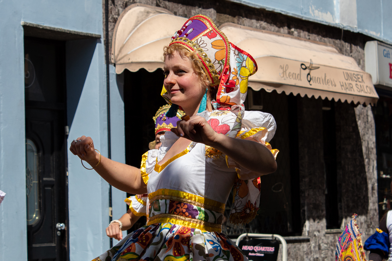
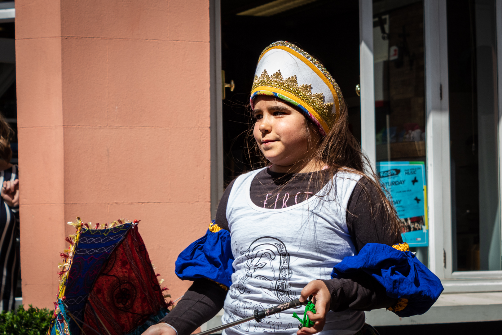
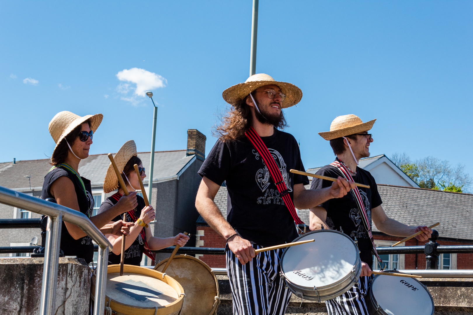
The 'Roots Street Festival' featuring a range of music, dance, international food flavours and workshops returned to Bridgend Town centre in the summer of 2019.

It was a free event that offered live music, activities and workshops and foods from all around the world. From Samba to science, a jam tent to football darts there was a wide range of activities provided to keep all of the family entertained during this fine summer day in 2019.

Little did we know that there was a global pandemic on the way and this sort of event was to disappear for so long.

I took many images of this happy day and the following are a selection from the street march through the town centre.
A very enjoyable time had by all.


Event Date: May 2019


Bridgend Roots Festival 2019

Bridgend Roots Festival 2019

Bridgend Roots Festival 2019

Bridgend Roots Festival 2019

Bridgend Roots Festival 2019

Bridgend Roots Festival 2019

Bridgend Roots Festival 2019

Bridgend Roots Festival 2019

Bridgend Roots Festival 2019

Bridgend Roots Festival 2019


Footer:
Visit Information: -

Bridgend Town Centre. South Wales


A full list of blogs can be found at my website


Read More

Pendeen Lighthouse


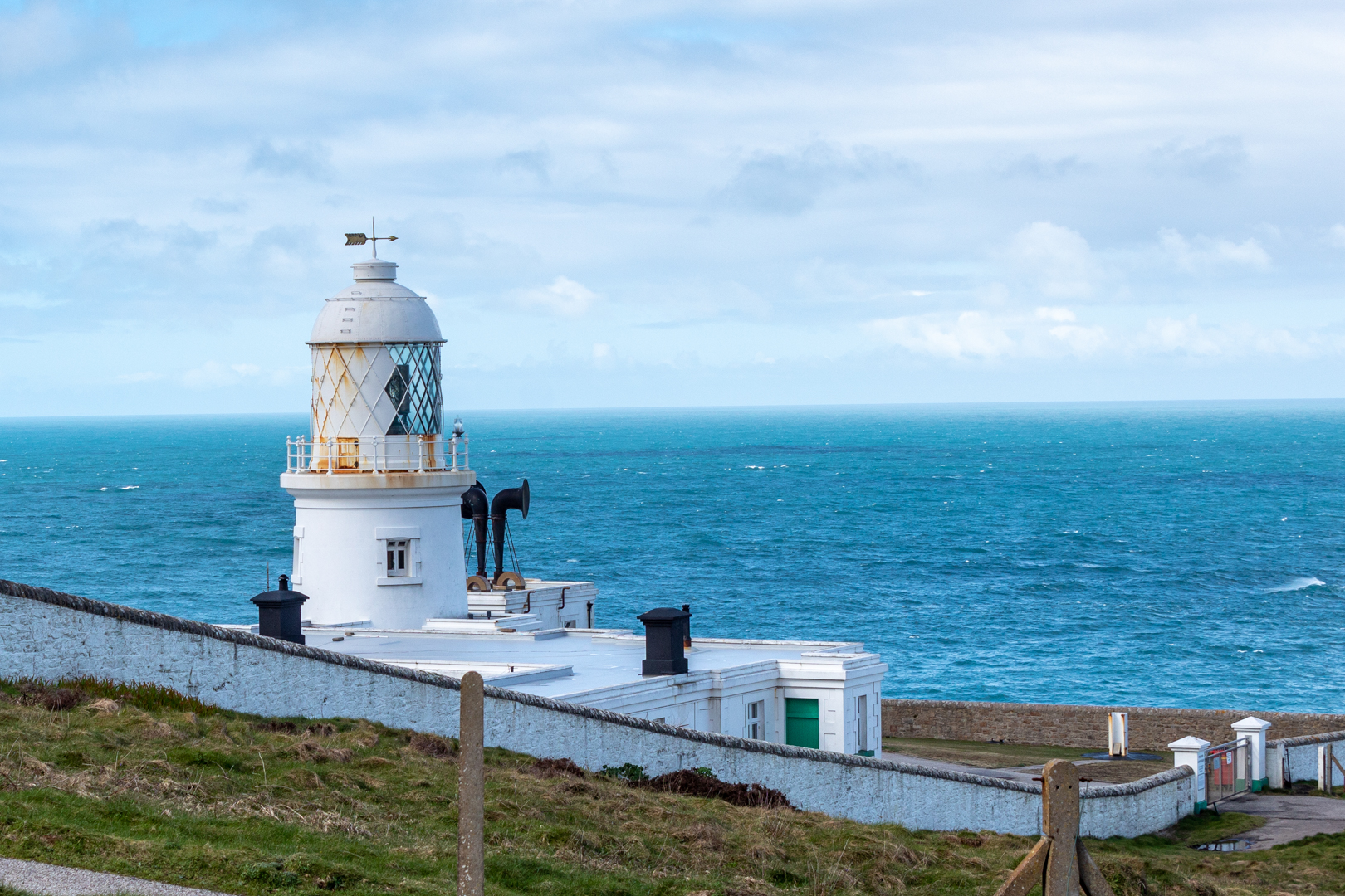
Pendeen Lighthouse

Pendeen Lighthouse, also known as Pendeen Watch
 is an active aid to navigation and is sited north of the 
village of Pendeen in west Cornwall, England, 
United Kingdom.


Visit Date March 2023


Pendeen Lighthouse
Click on any image for larger view


Pendeen Lighthouse lies Only six miles north of Land's End and is close to the small and very pretty village of St Just, which thrived during the Tin and Copper mining era in the 1900s.

The construction of the lighthouse started in the 1890s and was designed by Sir Thomas Mathews for Trinity House (Trinity House is a charity dedicated to safeguarding shipping and seafarers) and constructed by Arthur Carkeek from Redruth.

The headland needed to be flattened to accommodate the 17-metre tower and associated buildings.

The light was first lit on 3 October 1900


Pendeen Lighthouse


A foghorn is also sighted here with twin 5-inch sirens driven initially by compressed air from an oil engine.

A five–wick Argand lamp provided the initial power for the lighthouse but the lamp was soon replaced with a 3-50mm dia. mantle lamp


Pendeen Lighthouse


The lens system was a large (first-order) rotating optic made up of two sets of four panels, which displayed a group of four flashes every fifteen seconds, it had a range of 20 nautical miles and is still in use.


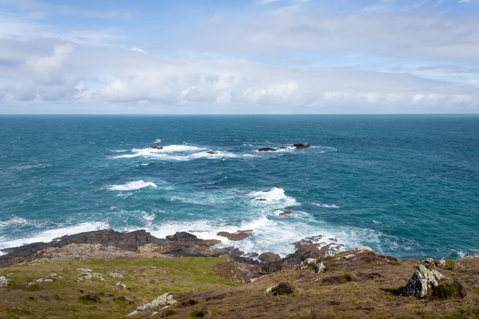
The Cornish coast at Pendeen Lighthouse
Click on any image for a larger view


The coast of this area is treacherous to shipping. Along the coast, the remnants of the once thriving mining in the area can be seen. 

In the 1990s it was decided that the lighthouse would become automated and the last of the lightkeepers left the lighthouse on May 3rd 1995.


The Cornish coast at Pendeen Lighthouse


The lighthouse, together with the attached keepers' cottages, are Grade II listed,

Built within the North Cornwall Coast within a Site of Special Scientific Interest and an Area of Outstanding Natural Beauty, it is sited on one of the many granite headlands bird watching is popular here as is seal and dolphin spotting. Being north-west facing is a perfect location to watch the sun setting over the Atlantic.


Footer:
Visit Information: -

Google Reference: -
50.16498077682171, -5.671545986771646

What Three Words reference: -
///cheeses.cabs.zooms

OS Details: -
SW 37890 35891 : Altitude:52 m

Additional information.

There is parking here (50.164339321872106, -5.670764521122517) for a half a dozen cars or so and the place is easy to visit.
Off the B3306 the lighthouse is signposted from the road.
There are no facilities at the site.


A full list of blogs can be found at my website


Read More

Faces in the woods


FACES IN THE WOODS

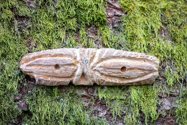
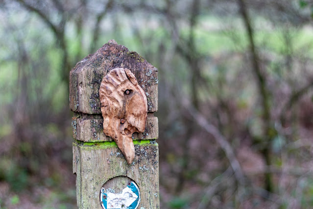
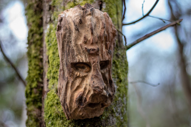
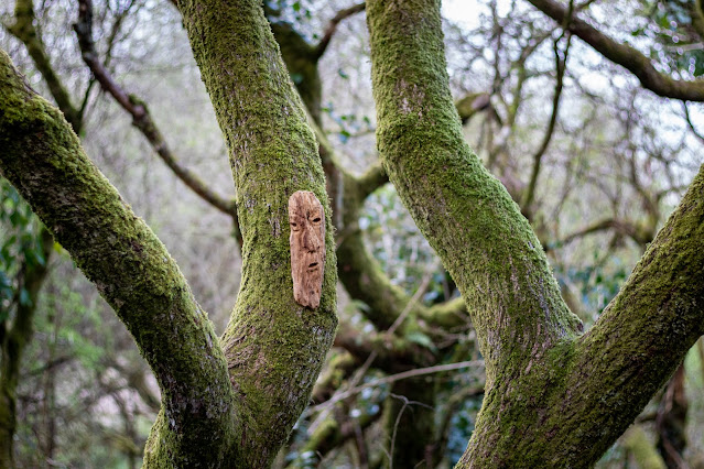
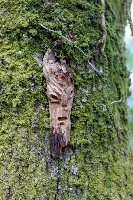
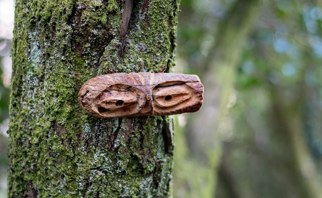
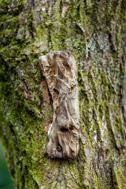
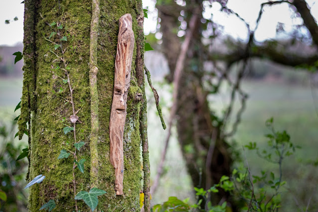
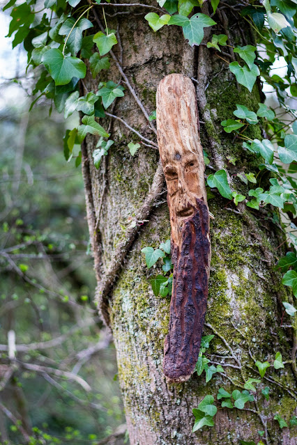
No history or legend behind this post only this to say. 
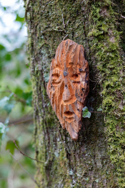
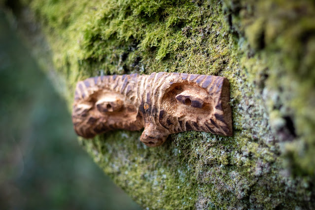
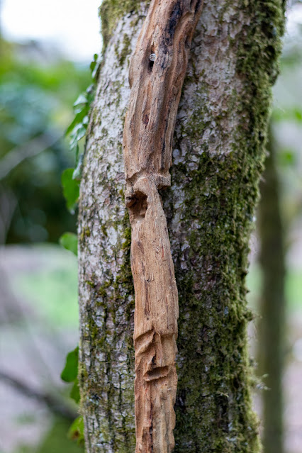
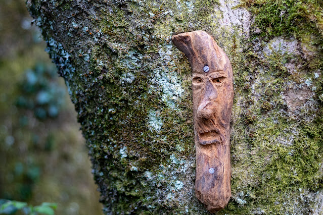
A walk through my local woods revealed that someone had 
taken the time to carve many faces on what looks like 
drift wood and then fixed them on the trees along the pathway.
I don't know who did this or the story behind the sculptures 
but it's a pleasing sight as you walk through the woods known 
locally as Bedford park or more correctly the older name of
 "The Waun"


Visit Date April 2023


Faces in the woods
Click on images for larger view

Faces in the woods

Faces in the woods

Faces in the woods

Faces in the woods

Faces in the woods

Faces in the woods

Faces in the woods
Click on images for a larger view

Faces in the woods

Faces in the woods

Faces in the woods

Faces in the woods

Faces in the woods

Faces in the woods

Faces in the woods

Faces in the woods

Faces in the woods

Faces in the woods

Faces in the woods

Faces in the woods

Faces in the woods
Click on images for a larger view

Faces in the woods

Faces in the woods

Faces in the woods

Faces in the woods

Faces in the woods

Faces in the woods

Faces in the woods

Faces in the woods

Faces in the woods

Faces in the woods

Faces in the woods

Faces in the woods

Faces in the woods

Faces in the woods

Faces in the woods

Faces in the woods


Note: Click on images for a larger view


Footer:
Visit Information: -

Google Reference: -
Between 51.537903859044945, -3.6545252539216273 
and 
51.536963600942975, -3.6719726491361966

What Three Words reference: -
Between ///decimals.penny.idea and ///cafe.strikers.clasping

OS Details: -
Between SS 85351 83434  Altitude:220 ft
and 
SS 84174 83335  Altitude: 206 ft

Additional information.
The above information is the two ends of the pathway of the woods.

There is good parking here (51.53821306322769, -3.654298149309796) at Bedford park.
It is a very easy walk through the woods.


A full list of blogs can be found at my website


Read More

Search This Blog

About Me

Bridgend, United Kingdom
A renewed interest in photography and local history.

Contact Me

Name

Email *

Message *

Followers